130 Forest View Dr Shermans Dale, PA 17090
Estimated Value: $237,000 - $303,000
3
Beds
2
Baths
1,144
Sq Ft
$226/Sq Ft
Est. Value
About This Home
This home is located at 130 Forest View Dr, Shermans Dale, PA 17090 and is currently estimated at $258,992, approximately $226 per square foot. 130 Forest View Dr is a home located in Perry County with nearby schools including West Perry Middle School and West Perry Senior High School.
Ownership History
Date
Name
Owned For
Owner Type
Purchase Details
Closed on
May 25, 2010
Sold by
Fannie Mae
Bought by
Sokoloski Timothy A
Current Estimated Value
Home Financials for this Owner
Home Financials are based on the most recent Mortgage that was taken out on this home.
Original Mortgage
$132,107
Outstanding Balance
$88,849
Interest Rate
5.12%
Mortgage Type
FHA
Estimated Equity
$170,143
Purchase Details
Closed on
Feb 11, 2010
Sold by
Nace Carl E
Bought by
Federal National Mortgage Association
Purchase Details
Closed on
May 8, 2007
Sold by
Ward Dorothy A and Anderson Dorothy A
Bought by
Ward Dorothy A and Ward Christopher Lee
Home Financials for this Owner
Home Financials are based on the most recent Mortgage that was taken out on this home.
Original Mortgage
$35,900
Interest Rate
6.24%
Mortgage Type
Seller Take Back
Create a Home Valuation Report for This Property
The Home Valuation Report is an in-depth analysis detailing your home's value as well as a comparison with similar homes in the area
Home Values in the Area
Average Home Value in this Area
Purchase History
| Date | Buyer | Sale Price | Title Company |
|---|---|---|---|
| Sokoloski Timothy A | $133,900 | None Available | |
| Federal National Mortgage Association | $4,315 | None Available | |
| Ward Dorothy A | -- | Title Source Inc |
Source: Public Records
Mortgage History
| Date | Status | Borrower | Loan Amount |
|---|---|---|---|
| Open | Sokoloski Timothy A | $132,107 | |
| Previous Owner | Ward Dorothy A | $35,900 |
Source: Public Records
Tax History Compared to Growth
Tax History
| Year | Tax Paid | Tax Assessment Tax Assessment Total Assessment is a certain percentage of the fair market value that is determined by local assessors to be the total taxable value of land and additions on the property. | Land | Improvement |
|---|---|---|---|---|
| 2025 | $2,867 | $148,200 | $53,000 | $95,200 |
| 2024 | $2,840 | $148,200 | $53,000 | $95,200 |
| 2023 | $2,808 | $148,200 | $53,000 | $95,200 |
| 2022 | $2,718 | $148,200 | $53,000 | $95,200 |
| 2021 | $2,641 | $148,200 | $53,000 | $95,200 |
| 2020 | $2,392 | $148,200 | $53,000 | $95,200 |
| 2019 | $2,335 | $148,200 | $53,000 | $95,200 |
| 2018 | $2,325 | $148,200 | $53,000 | $95,200 |
| 2017 | $2,237 | $148,200 | $53,000 | $95,200 |
| 2016 | -- | $148,200 | $53,000 | $95,200 |
| 2015 | -- | $148,200 | $53,000 | $95,200 |
| 2014 | $1,867 | $148,200 | $53,000 | $95,200 |
Source: Public Records
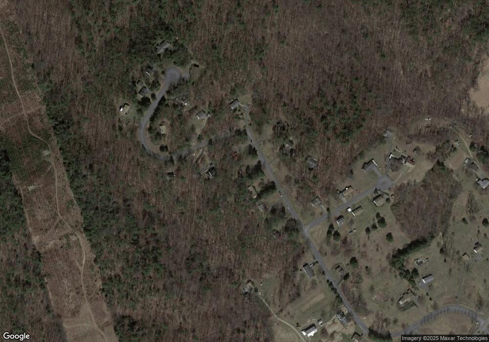
Map
Nearby Homes
- 57 Metz Ln
- 37 Meadowview Dr
- 48 Meadowview Dr
- 501 Windy Hill Rd
- Black Cherry Plan at Stone Mill Estates
- Abbey Plan at Stone Mill Estates
- Sweet Birch Plan at Stone Mill Estates
- Revere Plan at Stone Mill Estates
- Sassafras Plan at Stone Mill Estates
- Primrose Plan at Stone Mill Estates - Duplex Homes
- White Oak Plan at Stone Mill Estates
- Meriwether Plan at Stone Mill Estates
- 10 Stone Mill Rd
- 1 Windy Hill Rd
- 988 Clouser Hollow Rd
- 128 W Main St
- 343 Keystone Way
- Lot 5 Clouser Hollow Rd
- 657 Paige Hill Rd
- 1620 Pisgah State Rd
- 140 Forest View Dr
- 120 Forest View Dr
- 170 Woodridge Cir
- 110 Forest View Dr
- 131 Forest View Dr
- 141 Forest View Dr
- 165 Woodridge Cir
- 115 Forest View Dr
- 151 Woodridge Cir
- 100 Forest View Dr
- 4 Southview Cir
- 180 Woodridge Cir
- 191 Woodridge Cir
- 235 Woodridge Cir
- 245 Woodridge Cir
- Lot Woodridge Cir
- 7058 Spring Rd
- 80 Forest View Dr
- 15 Southview Cir
- 20 Southview Cir