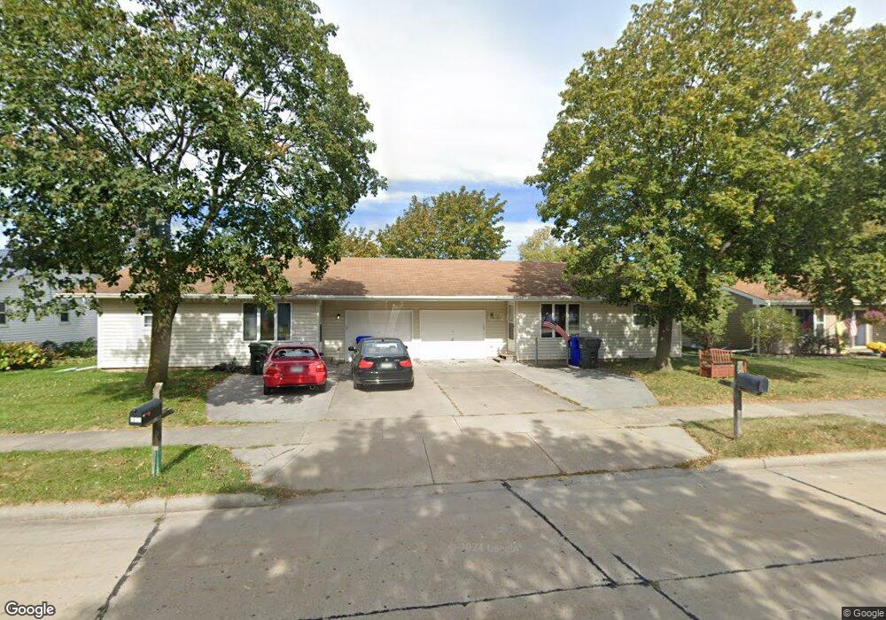
130 Frances St Kaukauna, WI 54130
Estimated Value: $248,000 - $332,000
4
Beds
2
Baths
2,160
Sq Ft
$136/Sq Ft
Est. Value
About This Home
This home is located at 130 Frances St, Kaukauna, WI 54130 and is currently estimated at $294,000, approximately $136 per square foot. 130 Frances St is a home located in Outagamie County with nearby schools including River View School, Kaukauna High School, and New Directions Learning Community.
Ownership History
Date
Name
Owned For
Owner Type
Purchase Details
Closed on
Jul 13, 2021
Sold by
Weiland Michael H
Bought by
Stinski Michael J
Current Estimated Value
Home Financials for this Owner
Home Financials are based on the most recent Mortgage that was taken out on this home.
Original Mortgage
$150,000
Outstanding Balance
$136,102
Interest Rate
2.9%
Estimated Equity
$157,898
Create a Home Valuation Report for This Property
The Home Valuation Report is an in-depth analysis detailing your home's value as well as a comparison with similar homes in the area
Home Values in the Area
Average Home Value in this Area
Purchase History
| Date | Buyer | Sale Price | Title Company |
|---|---|---|---|
| Stinski Michael J | $187,500 | -- |
Source: Public Records
Mortgage History
| Date | Status | Borrower | Loan Amount |
|---|---|---|---|
| Open | Stinski Michael J | $150,000 |
Source: Public Records
Tax History Compared to Growth
Tax History
| Year | Tax Paid | Tax Assessment Tax Assessment Total Assessment is a certain percentage of the fair market value that is determined by local assessors to be the total taxable value of land and additions on the property. | Land | Improvement |
|---|---|---|---|---|
| 2023 | $3,716 | $186,200 | $26,900 | $159,300 |
| 2022 | $3,454 | $186,200 | $26,900 | $159,300 |
| 2021 | $3,303 | $186,200 | $26,900 | $159,300 |
| 2020 | $3,693 | $160,200 | $20,600 | $139,600 |
| 2019 | $3,712 | $160,200 | $20,600 | $139,600 |
| 2018 | $3,716 | $160,200 | $20,600 | $139,600 |
| 2017 | $3,678 | $160,200 | $20,600 | $139,600 |
| 2016 | $3,509 | $160,200 | $20,600 | $139,600 |
| 2015 | $3,511 | $160,200 | $20,600 | $139,600 |
| 2014 | $3,501 | $160,200 | $20,600 | $139,600 |
| 2013 | $3,527 | $160,200 | $20,600 | $139,600 |
Source: Public Records
Map
Nearby Homes
- 3005 Crooks Ave
- 2200 Sullivan Ave
- 406 E 20th St
- 213 E 17th St
- 216 E 17th St
- 304 E 17th St
- 405 E 17th St
- 708 Westfield St
- 1207 Saunders Rd
- 1601 Main Ave
- 1401 Main Ave
- N176 Debruin Rd
- 417 W 11th St
- 123 W 10th St
- 227 E 10th St
- 213 Fairway St
- 909 Boyd Ave
- 24 Woodhaven Ln
- 1031 Melrose Ct
- 3351 Gray Squirrel Ln