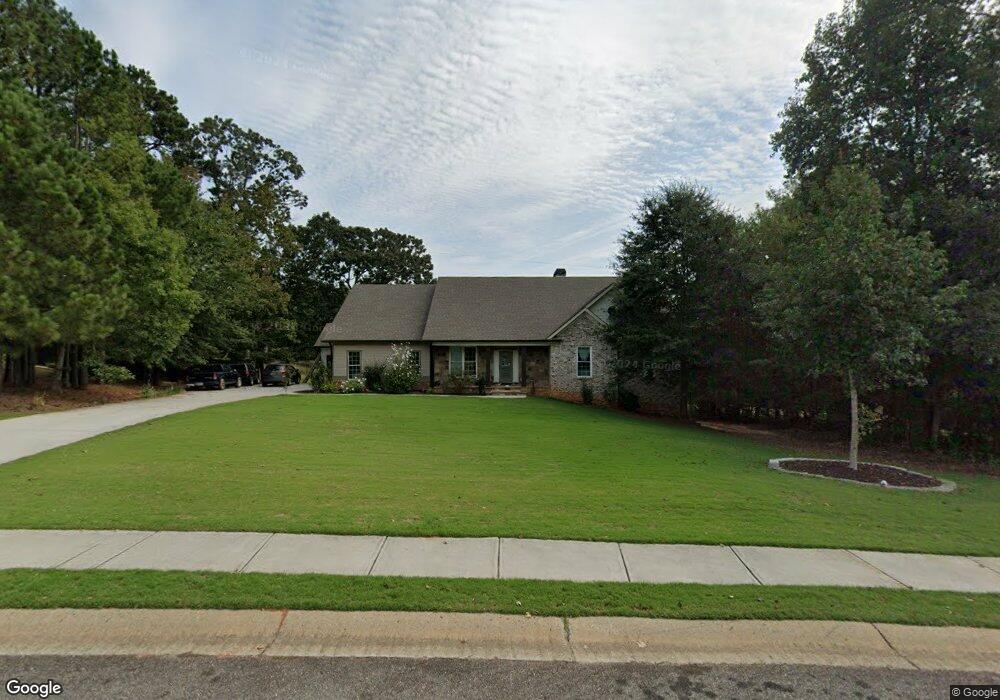
130 Hamway Ln Winder, GA 30680
Estimated Value: $466,267 - $505,000
--
Bed
--
Bath
2,551
Sq Ft
$192/Sq Ft
Est. Value
About This Home
This home is located at 130 Hamway Ln, Winder, GA 30680 and is currently estimated at $489,067, approximately $191 per square foot. 130 Hamway Ln is a home located in Barrow County with nearby schools including Bramlett Elementary School, Russell Middle School, and Winder-Barrow High School.
Ownership History
Date
Name
Owned For
Owner Type
Purchase Details
Closed on
Nov 9, 2021
Sold by
Meono Estela Isabel
Bought by
Cardenas Edwin A Meono
Current Estimated Value
Purchase Details
Closed on
Aug 14, 2019
Sold by
Meono Jeysem
Bought by
Meono Estela Isabel
Purchase Details
Closed on
Jun 25, 2010
Sold by
State Bk & Trust Co
Bought by
Meono Estela I and Meono Jeysem
Purchase Details
Closed on
Jan 5, 2010
Sold by
Star Home Builders Inc
Bought by
State Bank And Trust
Purchase Details
Closed on
Aug 1, 2005
Sold by
Montana Development Inc
Bought by
Star Home Builders Inc
Purchase Details
Closed on
Mar 4, 2004
Bought by
Montana Development Inc
Create a Home Valuation Report for This Property
The Home Valuation Report is an in-depth analysis detailing your home's value as well as a comparison with similar homes in the area
Home Values in the Area
Average Home Value in this Area
Purchase History
| Date | Buyer | Sale Price | Title Company |
|---|---|---|---|
| Cardenas Edwin A Meono | -- | -- | |
| Meono Estela Isabel | -- | -- | |
| Meono Estela I | $15,000 | -- | |
| State Bank And Trust | -- | -- | |
| Star Home Builders Inc | $45,000 | -- | |
| Montana Development Inc | -- | -- |
Source: Public Records
Tax History Compared to Growth
Tax History
| Year | Tax Paid | Tax Assessment Tax Assessment Total Assessment is a certain percentage of the fair market value that is determined by local assessors to be the total taxable value of land and additions on the property. | Land | Improvement |
|---|---|---|---|---|
| 2024 | $4,957 | $199,537 | $33,600 | $165,937 |
| 2023 | $5,699 | $199,537 | $33,600 | $165,937 |
| 2022 | $2,561 | $86,952 | $28,800 | $58,152 |
| 2021 | $2,138 | $67,845 | $18,000 | $49,845 |
| 2020 | $2,142 | $67,845 | $18,000 | $49,845 |
| 2019 | $2,179 | $67,845 | $18,000 | $49,845 |
| 2018 | $2,156 | $67,845 | $18,000 | $49,845 |
| 2017 | $1,490 | $51,178 | $18,000 | $33,178 |
| 2016 | $1,312 | $40,500 | $18,000 | $22,500 |
| 2015 | $1,318 | $40,500 | $18,000 | $22,500 |
| 2014 | $1,002 | $29,070 | $8,820 | $20,250 |
| 2013 | -- | $4,914 | $4,914 | $0 |
Source: Public Records
Map
Nearby Homes
- 99 Mcmillian Ct
- 1931 Windstone Place
- 1929 Windstone Place
- 1557 Shadowstone Cir
- 1686 Shadowstone Ct
- 2839 Shadowstone Way
- 2858 Shadowstone Way
- 1303 Windstone Ct
- 137 New Cut Rd
- 1202 Treemont Trace
- 852 Georgetown Dr
- 731 Lincoln Dr
- 1224 Treemont Trace
- 1000 Jim Johnson Rd
- 681 County Line Auburn Rd
- 787 Murphy Rd
- 809 Custom Ln