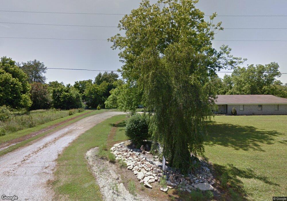
130 Highway 165 S Dermott, AR 71638
Estimated Value: $62,000 - $187,000
--
Bed
2
Baths
2,248
Sq Ft
$57/Sq Ft
Est. Value
About This Home
This home is located at 130 Highway 165 S, Dermott, AR 71638 and is currently estimated at $127,317, approximately $56 per square foot. 130 Highway 165 S is a home located in Chicot County with nearby schools including Dermott Elementary School and Dermott High School.
Ownership History
Date
Name
Owned For
Owner Type
Purchase Details
Closed on
Jun 28, 2023
Sold by
Mcmickle Dwayne
Bought by
White Lois J
Current Estimated Value
Home Financials for this Owner
Home Financials are based on the most recent Mortgage that was taken out on this home.
Original Mortgage
$151,701
Outstanding Balance
$147,805
Interest Rate
6.39%
Mortgage Type
FHA
Estimated Equity
-$20,488
Purchase Details
Closed on
Feb 23, 2023
Sold by
Mcmickle Miranda
Bought by
Mcmickle Dwayne
Purchase Details
Closed on
Jun 3, 2016
Sold by
Murphy John Mitchell
Bought by
Mcmickle Dwayne and Mckickle Miranda
Purchase Details
Closed on
Jul 25, 2014
Sold by
David M David M and Wells Pamela M
Bought by
Murphy John Mitchell
Create a Home Valuation Report for This Property
The Home Valuation Report is an in-depth analysis detailing your home's value as well as a comparison with similar homes in the area
Home Values in the Area
Average Home Value in this Area
Purchase History
| Date | Buyer | Sale Price | Title Company |
|---|---|---|---|
| White Lois J | $154,500 | None Listed On Document | |
| White Lois J | $154,500 | None Listed On Document | |
| Mcmickle Dwayne | -- | -- | |
| Mcmickle Dwayne | -- | -- | |
| Murphy John Mitchell | $140,000 | -- |
Source: Public Records
Mortgage History
| Date | Status | Borrower | Loan Amount |
|---|---|---|---|
| Open | White Lois J | $151,701 | |
| Closed | White Lois J | $151,701 |
Source: Public Records
Tax History Compared to Growth
Tax History
| Year | Tax Paid | Tax Assessment Tax Assessment Total Assessment is a certain percentage of the fair market value that is determined by local assessors to be the total taxable value of land and additions on the property. | Land | Improvement |
|---|---|---|---|---|
| 2024 | $1,526 | $29,460 | $930 | $28,530 |
| 2023 | $910 | $17,570 | $640 | $16,930 |
| 2022 | $539 | $17,570 | $640 | $16,930 |
| 2021 | $509 | $17,570 | $640 | $16,930 |
| 2020 | $700 | $17,570 | $640 | $16,930 |
| 2019 | $448 | $17,570 | $640 | $16,930 |
| 2018 | $356 | $11,690 | $640 | $11,050 |
| 2017 | $606 | $11,690 | $640 | $11,050 |
| 2016 | $427 | $11,690 | $640 | $11,050 |
| 2015 | -- | $21,820 | $2,200 | $19,620 |
| 2014 | -- | $21,820 | $2,200 | $19,620 |
| 2013 | -- | $21,820 | $2,200 | $19,620 |
Source: Public Records
Map
Nearby Homes
- Lot 5 Deer St
- 0 Wolfe St
- 0 N Trotter St
- Lot 12 W Mulberry St
- 0 W Mulberry St
- TBD N Hardy St
- 0 N Hardy St
- 608 Highway 35 S
- Lots 8-9 S Gerald Davis Ln
- 0 0 Unit N Norwood St
- Lot 6 N Alma St
- Vacant land Cater Ln
- 15 Maulding Dr
- 6 Paul St
- 604 Highway 65 S
- 109 Ashcraft St
- Lot 2 Cypress Gardens
- Lots 6-7 Bush St
- Lot 2 S 1st St
- Lot 1 S 1st St