130 Holmes Rd North Attleboro, MA 02760
North Attleboro NeighborhoodEstimated Value: $658,000 - $1,032,000
3
Beds
2
Baths
1,260
Sq Ft
$684/Sq Ft
Est. Value
About This Home
This home is located at 130 Holmes Rd, North Attleboro, MA 02760 and is currently estimated at $861,362, approximately $683 per square foot. 130 Holmes Rd is a home located in Bristol County with nearby schools including North Attleboro High School and Mercymount Country Day School.
Ownership History
Date
Name
Owned For
Owner Type
Purchase Details
Closed on
Mar 11, 2021
Sold by
Brouillette Deborah A and Brouillette Richard E
Bought by
Brouillette Ft and Brouillette
Current Estimated Value
Purchase Details
Closed on
Jan 1, 1978
Bought by
Brouillette Richard and Brouillette Deborah
Create a Home Valuation Report for This Property
The Home Valuation Report is an in-depth analysis detailing your home's value as well as a comparison with similar homes in the area
Home Values in the Area
Average Home Value in this Area
Purchase History
| Date | Buyer | Sale Price | Title Company |
|---|---|---|---|
| Brouillette Ft | -- | None Available | |
| Brouillette Richard | -- | -- |
Source: Public Records
Mortgage History
| Date | Status | Borrower | Loan Amount |
|---|---|---|---|
| Previous Owner | Brouillette Richard | $275,000 | |
| Previous Owner | Brouillette Richard | $50,000 | |
| Previous Owner | Brouillette Richard | $125,000 |
Source: Public Records
Tax History Compared to Growth
Tax History
| Year | Tax Paid | Tax Assessment Tax Assessment Total Assessment is a certain percentage of the fair market value that is determined by local assessors to be the total taxable value of land and additions on the property. | Land | Improvement |
|---|---|---|---|---|
| 2025 | $10,184 | $863,800 | $203,600 | $660,200 |
| 2024 | $9,718 | $842,100 | $203,600 | $638,500 |
| 2023 | $8,431 | $659,200 | $203,600 | $455,600 |
| 2022 | $7,662 | $550,000 | $203,600 | $346,400 |
| 2021 | $3,631 | $547,500 | $203,600 | $343,900 |
| 2020 | $7,432 | $517,900 | $203,600 | $314,300 |
| 2019 | $7,252 | $509,300 | $191,900 | $317,400 |
| 2018 | $3,249 | $483,600 | $191,900 | $291,700 |
| 2017 | $6,252 | $472,900 | $191,900 | $281,000 |
| 2016 | $6,002 | $454,000 | $205,200 | $248,800 |
| 2015 | $5,855 | $445,600 | $211,800 | $233,800 |
| 2014 | $5,775 | $436,200 | $201,300 | $234,900 |
Source: Public Records
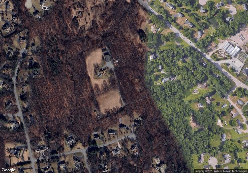
Map
Nearby Homes
- 41 Stone Ridge Rd
- 34 Stone Ridge Rd
- 12 Intervale Dr
- 105 Newell Dr
- 22 Gilbert Ct
- 44 Powder Horn Way
- 16 Wollen Dr
- 740 Allen Ave
- 710 Nate Whipple Hwy
- 1 Woodhaven Dr
- 56 Farmview Dr
- 56 Greenfield Rd
- 25 Hillside Rd
- 35 Greenfield Rd
- 16 Hillside Rd
- 30 Sperry Ln Unit Lot 15
- 181 Paine Rd
- 0 Anawan Rd
- 31 Paine Rd
- 160 Crescent Ave
- 166 Holmes Rd
- 550 Hickory Rd
- 148 Holmes Rd
- 542 Hickory Rd
- 126 Holmes Rd
- 144 Holmes Rd
- 602 Hickory Rd
- 68 Chipping Stone Rd
- 56 Chipping Stone Rd
- 80 Chipping Stone Rd
- 137 W Barn Rd
- 127 W Barn Rd
- 154 Holmes Rd
- 606 Hickory Rd
- 567 Hickory Rd
- 553 Hickory Rd
- 117 W Barn Rd
- 44 Chipping Stone Rd
- 581 Hickory Rd
- 539 Hickory Rd