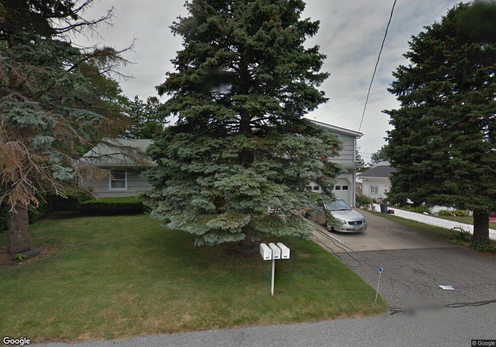
130 Islington Ave Portsmouth, RI 02871
Common Fence Point NeighborhoodEstimated Value: $638,000 - $1,255,000
5
Beds
3
Baths
2,724
Sq Ft
$340/Sq Ft
Est. Value
About This Home
This home is located at 130 Islington Ave, Portsmouth, RI 02871 and is currently estimated at $926,463, approximately $340 per square foot. 130 Islington Ave is a home located in Newport County with nearby schools including Portsmouth High School.
Ownership History
Date
Name
Owned For
Owner Type
Purchase Details
Closed on
Apr 20, 2023
Sold by
Malone Azell
Bought by
Malone Azell Jr Ret and Malone
Current Estimated Value
Purchase Details
Closed on
Feb 12, 1988
Bought by
Malone Azell and Malone Beverly R
Create a Home Valuation Report for This Property
The Home Valuation Report is an in-depth analysis detailing your home's value as well as a comparison with similar homes in the area
Home Values in the Area
Average Home Value in this Area
Purchase History
| Date | Buyer | Sale Price | Title Company |
|---|---|---|---|
| Malone Azell Jr Ret | -- | None Available | |
| Malone Azell | $145,000 | -- |
Source: Public Records
Mortgage History
| Date | Status | Borrower | Loan Amount |
|---|---|---|---|
| Previous Owner | Malone Azell | $150,000 | |
| Previous Owner | Malone Azell | $25,000 |
Source: Public Records
Tax History Compared to Growth
Tax History
| Year | Tax Paid | Tax Assessment Tax Assessment Total Assessment is a certain percentage of the fair market value that is determined by local assessors to be the total taxable value of land and additions on the property. | Land | Improvement |
|---|---|---|---|---|
| 2025 | $7,844 | $590,700 | $226,200 | $364,500 |
| 2024 | $7,642 | $579,800 | $226,200 | $353,600 |
| 2023 | $7,410 | $579,800 | $226,200 | $353,600 |
| 2022 | $6,218 | $399,600 | $177,600 | $222,000 |
| 2021 | $6,118 | $399,600 | $177,600 | $222,000 |
| 2020 | $6,022 | $399,600 | $177,600 | $222,000 |
| 2019 | $6,081 | $370,800 | $132,900 | $237,900 |
| 2018 | $5,922 | $370,800 | $132,900 | $237,900 |
| 2017 | $5,718 | $370,800 | $132,900 | $237,900 |
| 2016 | $5,296 | $331,000 | $123,400 | $207,600 |
| 2015 | $5,230 | $331,000 | $123,400 | $207,600 |
| 2014 | $5,230 | $331,000 | $123,400 | $207,600 |
Source: Public Records
Map
Nearby Homes
- 134 Greenfield Ave
- 0 Common Fence Blvd Unit 1364650
- 0 Common Fence Blvd Unit 1397142
- 72 Rhode Island Blvd
- 0 Dighton Ave
- 0 Island Rd
- 1055 Anthony Rd
- 10 Mount Hope Ave
- 169 Narragansett Blvd
- 1350 Anthony Rd
- 8 Tucker Ave
- 42 Lewis St
- 50 Stevens St
- 83 Waters Edge Unit 24
- 87 Waters Edge
- 9 Cutter Ln
- 47 Watermark Dr
- 171 Leeshore Ln
- 1660 Main Rd
- 15 Rocky Ave
- 136 Islington Ave
- 122 Islington Ave
- 121 Holliston Ave
- 72 Common Fence Blvd
- 129 Islington Ave
- 80 Common Fence Blvd
- 135 Islington Ave
- 127 Islington Ave
- 114 Islington Ave
- 84 Common Fence Blvd
- 147 Islington Ave
- 121 Islington Ave
- 115 Islington Ave
- 107 Holliston Ave
- 48 Common Fence Blvd
- 128 Holliston Ave
- 106 Islington Ave
- 116 Holliston Ave
- 96 Common Fence Blvd
- 105 Islington Ave