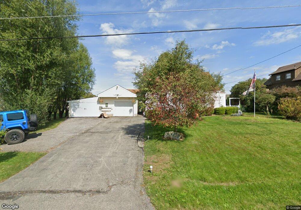
130 Linhurst Ave Butler, PA 16001
Butler NeighborhoodEstimated Value: $187,000 - $258,000
3
Beds
3
Baths
1,224
Sq Ft
$195/Sq Ft
Est. Value
About This Home
This home is located at 130 Linhurst Ave, Butler, PA 16001 and is currently estimated at $239,250, approximately $195 per square foot. 130 Linhurst Ave is a home located in Butler County with nearby schools including Butler Intermediate High School, Butler Middle School, and First Baptist Christian School.
Ownership History
Date
Name
Owned For
Owner Type
Purchase Details
Closed on
Mar 11, 2008
Sold by
Pintek Joseph P
Bought by
Sandusky John J
Current Estimated Value
Home Financials for this Owner
Home Financials are based on the most recent Mortgage that was taken out on this home.
Original Mortgage
$137,810
Outstanding Balance
$85,900
Interest Rate
5.75%
Mortgage Type
New Conventional
Estimated Equity
$153,350
Purchase Details
Closed on
Jun 28, 2002
Sold by
Schnitski Ida
Bought by
Courtney Kint C and Smith,Kerry B
Create a Home Valuation Report for This Property
The Home Valuation Report is an in-depth analysis detailing your home's value as well as a comparison with similar homes in the area
Home Values in the Area
Average Home Value in this Area
Purchase History
| Date | Buyer | Sale Price | Title Company |
|---|---|---|---|
| Sandusky John J | $138,900 | -- | |
| Courtney Kint C | $80,000 | -- |
Source: Public Records
Mortgage History
| Date | Status | Borrower | Loan Amount |
|---|---|---|---|
| Open | Sandusky John J | $137,810 |
Source: Public Records
Tax History Compared to Growth
Tax History
| Year | Tax Paid | Tax Assessment Tax Assessment Total Assessment is a certain percentage of the fair market value that is determined by local assessors to be the total taxable value of land and additions on the property. | Land | Improvement |
|---|---|---|---|---|
| 2025 | $1,650 | $11,110 | $2,250 | $8,860 |
| 2024 | $1,620 | $11,110 | $2,250 | $8,860 |
| 2023 | $1,588 | $11,110 | $2,250 | $8,860 |
| 2022 | $1,588 | $11,110 | $2,250 | $8,860 |
| 2021 | $1,588 | $11,110 | $0 | $0 |
| 2020 | $1,588 | $11,110 | $2,250 | $8,860 |
| 2019 | $1,554 | $11,110 | $2,250 | $8,860 |
| 2018 | $1,554 | $11,110 | $2,250 | $8,860 |
| 2017 | $1,518 | $11,110 | $2,250 | $8,860 |
| 2016 | $486 | $11,110 | $2,250 | $8,860 |
| 2015 | $225 | $11,110 | $2,250 | $8,860 |
| 2014 | $225 | $11,110 | $2,250 | $8,860 |
Source: Public Records
Map
Nearby Homes
- 122 Arlington Ave
- 578 Kohler Avenue Extension
- 101 Gregden Rd
- 128 Jerome Dr
- 110 Dominic Dr
- 502 Main St
- 114 Rothen Ave
- 329 S Home Ave
- 101 Jerome Dr
- 414-416 Bessemer Ave
- 261 Whitestown Rd
- 250 N Boundary St
- 319 Bessemer Ave
- 302 Penn Ave
- 206 Stoneridge Blvd
- 140 Whitestown Rd
- 275 S Duffy Rd
- 601 Kendall Ave
- 524 Hansen Ave
- 243 Grandview Blvd
- 132 Linhurst Ave
- 124 Linhurst Ave
- 134 Linhurst Ave
- 119 Arlington Ave
- 121 Arlington Ave
- 129 Linhurst Ave
- 125 Linhurst Ave
- 131 Linhurst Ave
- 131 Linhurst Ave
- 122 Linhurst Ave
- 136 Linhurst Ave
- 125 Arlington Ave
- 120 Linhurst Ave
- 137 Linhurst Ave
- 207 Willard Ave
- 217 Willard Ave
- 118 Linhurst Ave
- 218 Willard Ave
- 140 Linhurst Ave
- 119 Linhurst Ave