130 Lowery Branch Rd Saluda, SC 29138
Estimated Value: $132,000 - $280,212
--
Bed
2
Baths
1,325
Sq Ft
$159/Sq Ft
Est. Value
About This Home
This home is located at 130 Lowery Branch Rd, Saluda, SC 29138 and is currently estimated at $210,553, approximately $158 per square foot. 130 Lowery Branch Rd is a home located in Saluda County with nearby schools including Saluda High School.
Ownership History
Date
Name
Owned For
Owner Type
Purchase Details
Closed on
Sep 12, 2023
Sold by
Bouknight Leon F and Bouknight Susan M
Bought by
Bouknight James Travis
Current Estimated Value
Purchase Details
Closed on
Jun 13, 2017
Sold by
Perry Debra Lou
Bought by
Bouknight Leon F and Bouknight Susan M
Purchase Details
Closed on
Jan 9, 2017
Sold by
Bouknight Leon F and Perry Debra L
Bought by
Bouknight Leon F and Perry Debra L
Purchase Details
Closed on
May 31, 2013
Sold by
Franks Anthony and Franks Connie
Bought by
Franks Anthony
Purchase Details
Closed on
May 15, 2007
Sold by
Bouknight Leon F
Bought by
Bouknight Annette S
Create a Home Valuation Report for This Property
The Home Valuation Report is an in-depth analysis detailing your home's value as well as a comparison with similar homes in the area
Home Values in the Area
Average Home Value in this Area
Purchase History
| Date | Buyer | Sale Price | Title Company |
|---|---|---|---|
| Bouknight James Travis | -- | None Listed On Document | |
| Bouknight Leon F | $50,000 | None Available | |
| Bouknight Leon F | -- | -- | |
| Franks Anthony | -- | -- | |
| Bouknight Annette S | -- | -- |
Source: Public Records
Tax History Compared to Growth
Tax History
| Year | Tax Paid | Tax Assessment Tax Assessment Total Assessment is a certain percentage of the fair market value that is determined by local assessors to be the total taxable value of land and additions on the property. | Land | Improvement |
|---|---|---|---|---|
| 2024 | $1,461 | $3,730 | $730 | $3,000 |
| 2023 | $1,461 | $2,570 | $570 | $2,000 |
| 2022 | $495 | $2,570 | $570 | $2,000 |
| 2021 | $0 | $2,570 | $570 | $2,000 |
| 2020 | $478 | $2,420 | $480 | $1,940 |
| 2019 | $1,154 | $3,520 | $600 | $2,920 |
| 2018 | $2,509 | $3,520 | $600 | $2,920 |
| 2017 | $2,509 | $7,920 | $5,000 | $2,920 |
| 2016 | -- | $2,420 | $480 | $1,940 |
| 2015 | -- | $2,420 | $480 | $1,940 |
| 2014 | -- | $2,420 | $480 | $1,940 |
Source: Public Records
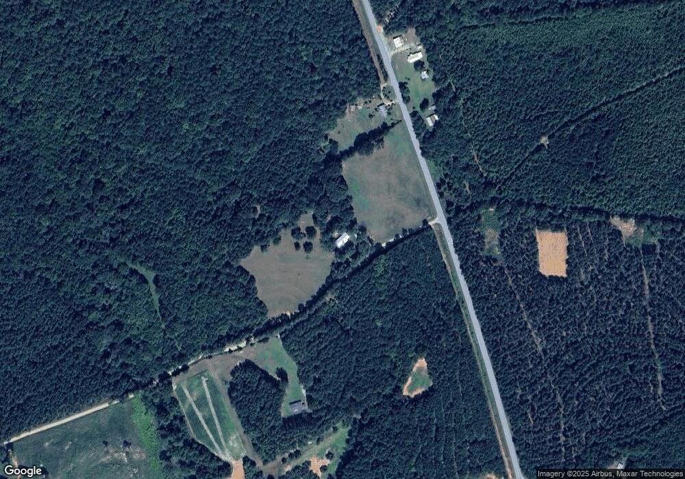
Map
Nearby Homes
- 0 Ebb MacK Rd
- Halfway Swamp Rd
- 1235 Medical Park Rd
- 1486 Bridle Path
- 1486 Bridle Path Rd
- 159 Rogers Rd
- 116 Hazel St
- Magnolia Ln
- 403 N Wise Rd
- 404 N Jennings St
- 303 N Rudolph St
- 0 Prosperity Hwy (2 Acres) Unit 132726
- 0 Columbia Hwy
- 0 Mccormick Hwy
- 0 Stevens Rd Unit 605112
- 4493 Mccormick Hwy
- 0 Fruit Hill Rd
- 226 Cottage Walk Ln
- 0 Scurry Church Rd Unit 23385277
- 34 Long Rd
- 5155 Chappells Hwy
- 1188 Chappells Hwy
- 115 Ebb MacK Rd
- 1218 Chappells Hwy
- 4945 Chappells Hwy
- 108 Pinckney Rd
- 4944 Chappells Hwy
- 1062 Chappells Hwy
- 1053 Chappells Hwy
- 1050 Chappells Hwy
- 4878 Chappells Hwy
- 125 Leontine MacK Rd
- 4859 Chappells Hwy
- 254 Ebb MacK Rd
- 1036 Chappells Hwy
- 4848 Chappells Hwy
- 411 Ebb MacK Rd
- 4821 Chappells Hwy
- 288 Tolbert Rd
- 288 Tolbert Rd