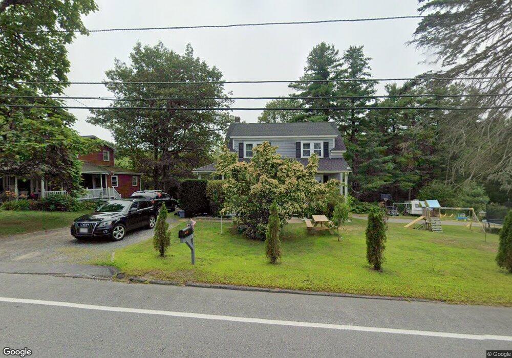
130 Maple Ave Rutland, MA 01543
Estimated Value: $402,000 - $602,000
4
Beds
3
Baths
2,200
Sq Ft
$231/Sq Ft
Est. Value
About This Home
This home is located at 130 Maple Ave, Rutland, MA 01543 and is currently estimated at $508,450, approximately $231 per square foot. 130 Maple Ave is a home located in Worcester County with nearby schools including Wachusett Regional High School.
Ownership History
Date
Name
Owned For
Owner Type
Purchase Details
Closed on
Apr 13, 2022
Sold by
Ianculescu Dumitru B
Bought by
Roman Rebecca and Roman Cosmin
Current Estimated Value
Home Financials for this Owner
Home Financials are based on the most recent Mortgage that was taken out on this home.
Original Mortgage
$392,755
Outstanding Balance
$370,696
Interest Rate
4.72%
Mortgage Type
FHA
Estimated Equity
$137,754
Purchase Details
Closed on
Mar 3, 2020
Sold by
Us Bank Na Tr
Bought by
Ianculescu Dumitru B
Purchase Details
Closed on
May 28, 2019
Sold by
Mohamed Cora-Lee
Bought by
Us Bank Na Tr
Purchase Details
Closed on
Sep 30, 1996
Sold by
Walker William G and Walker Jineen
Bought by
Mohamed Cora Lee
Home Financials for this Owner
Home Financials are based on the most recent Mortgage that was taken out on this home.
Original Mortgage
$102,248
Interest Rate
7.83%
Mortgage Type
Purchase Money Mortgage
Create a Home Valuation Report for This Property
The Home Valuation Report is an in-depth analysis detailing your home's value as well as a comparison with similar homes in the area
Home Values in the Area
Average Home Value in this Area
Purchase History
| Date | Buyer | Sale Price | Title Company |
|---|---|---|---|
| Roman Rebecca | $400,000 | None Available | |
| Ianculescu Dumitru B | $123,907 | None Available | |
| Us Bank Na Tr | $225,696 | -- | |
| Mohamed Cora Lee | $102,500 | -- |
Source: Public Records
Mortgage History
| Date | Status | Borrower | Loan Amount |
|---|---|---|---|
| Open | Roman Rebecca | $392,755 | |
| Previous Owner | Mohamed Cora Lee | $101,287 | |
| Previous Owner | Mohamed Cora Lee | $102,248 |
Source: Public Records
Tax History
| Year | Tax Paid | Tax Assessment Tax Assessment Total Assessment is a certain percentage of the fair market value that is determined by local assessors to be the total taxable value of land and additions on the property. | Land | Improvement |
|---|---|---|---|---|
| 2025 | $5,401 | $379,300 | $87,000 | $292,300 |
| 2024 | $5,045 | $340,200 | $83,100 | $257,100 |
| 2023 | $3,492 | $254,500 | $78,400 | $176,100 |
| 2022 | $3,723 | $235,800 | $66,300 | $169,500 |
| 2021 | $3,382 | $202,500 | $66,300 | $136,200 |
| 2020 | $3,445 | $195,600 | $62,700 | $132,900 |
| 2019 | $3,179 | $177,700 | $64,300 | $113,400 |
| 2018 | $2,924 | $161,300 | $64,300 | $97,000 |
| 2017 | $2,955 | $161,300 | $64,300 | $97,000 |
| 2016 | $2,974 | $171,200 | $61,200 | $110,000 |
| 2015 | $2,930 | $166,000 | $61,200 | $104,800 |
| 2014 | $2,840 | $166,000 | $61,200 | $104,800 |
Source: Public Records
Map
Nearby Homes
- 5 Karen Way
- 85 Maple Ave Unit A
- 176 Maple Ave Unit 7-21
- 176 Maple Ave Unit 5-32
- 176 Maple Ave Unit 1-24
- 21 Highland Park Rd
- 132 Fidelity Dr Unit 61
- 210 Fidelity Dr Unit 84
- 212 Fidelity Dr Unit 83
- 10 Fidelity Dr Unit 5
- 12 Fidelity Dr Unit 6
- 18 Fidelity Dr Unit 9
- 20 Fidelity Dr Unit 10
- 189 Maple Ave
- 27 Lewis St
- 6 Lewis St
- 12 Lewis St
- 19 Fernwood Dr
- 20 Fernwood Dr
- 11 Lewis St