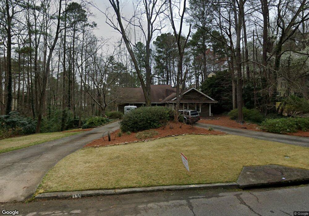
130 Mark Trail NW Atlanta, GA 30328
Estimated Value: $963,362 - $1,046,000
5
Beds
5
Baths
3,641
Sq Ft
$281/Sq Ft
Est. Value
About This Home
This home is located at 130 Mark Trail NW, Atlanta, GA 30328 and is currently estimated at $1,024,341, approximately $281 per square foot. 130 Mark Trail NW is a home located in Fulton County with nearby schools including Spalding Drive Elementary School, Sandy Springs Middle School, and North Springs High School.
Ownership History
Date
Name
Owned For
Owner Type
Purchase Details
Closed on
Apr 30, 2000
Sold by
Bennett Christiane
Bought by
Gentry Tracy and Gentry Dawn
Current Estimated Value
Home Financials for this Owner
Home Financials are based on the most recent Mortgage that was taken out on this home.
Original Mortgage
$275,000
Interest Rate
6.9%
Mortgage Type
New Conventional
Purchase Details
Closed on
May 17, 1994
Sold by
Stevelberg Eugene Pierrette
Bought by
Bennett Peter
Home Financials for this Owner
Home Financials are based on the most recent Mortgage that was taken out on this home.
Original Mortgage
$204,250
Interest Rate
7.12%
Create a Home Valuation Report for This Property
The Home Valuation Report is an in-depth analysis detailing your home's value as well as a comparison with similar homes in the area
Home Values in the Area
Average Home Value in this Area
Purchase History
| Date | Buyer | Sale Price | Title Company |
|---|---|---|---|
| Gentry Tracy | $417,000 | -- | |
| Bennett Peter | $215,000 | -- |
Source: Public Records
Mortgage History
| Date | Status | Borrower | Loan Amount |
|---|---|---|---|
| Previous Owner | Gentry Tracy | $275,000 | |
| Previous Owner | Bennett Peter | $204,250 |
Source: Public Records
Tax History Compared to Growth
Tax History
| Year | Tax Paid | Tax Assessment Tax Assessment Total Assessment is a certain percentage of the fair market value that is determined by local assessors to be the total taxable value of land and additions on the property. | Land | Improvement |
|---|---|---|---|---|
| 2025 | $6,443 | $347,600 | $109,520 | $238,080 |
| 2023 | $7,729 | $273,840 | $66,400 | $207,440 |
| 2022 | $6,086 | $266,680 | $59,240 | $207,440 |
| 2021 | $6,046 | $243,840 | $47,760 | $196,080 |
| 2020 | $6,089 | $240,960 | $47,200 | $193,760 |
| 2019 | $5,996 | $243,200 | $38,960 | $204,240 |
| 2018 | $6,747 | $237,480 | $38,040 | $199,440 |
| 2017 | $5,901 | $186,400 | $30,440 | $155,960 |
| 2016 | $7,054 | $208,000 | $33,960 | $174,040 |
| 2015 | $5,470 | $173,160 | $30,440 | $142,720 |
| 2014 | $5,012 | $154,680 | $23,760 | $130,920 |
Source: Public Records
Map
Nearby Homes
- 960 Lost Forest Dr NW
- 6795 Brandon Mill Rd NW Unit 3
- 615 Mark Trail Ct NW
- 250 Stone Mill Trail NE
- 120 Seville Chase NW Unit 2
- 6825 Sunny Brook Ln NE
- 229 Devonwood Dr
- 6771 Sunny Brook Ln NE
- 6900 Roswell Rd Unit G1
- 6900 Roswell Rd Unit F6
- 6900 Roswell Rd Unit Q26
- 6900 Roswell Rd Unit F8
- 6900 Roswell Rd Unit 7N
- 6900 Roswell Rd Unit 10Q
- 6900 Roswell Rd Unit 5G
- 6900 Roswell Rd Unit G5
- 340 River Knoll Dr NW
- 175 River Court Pkwy NW
- 6700 Roswell Rd Unit 7D
- 140 Mark Trail
- 110 Mark Trail NW
- 150 Mark Trail
- 470 Stone Mill Trail NE
- 135 Mark Trail
- 6895 Brandon Mill Rd NW
- 115 Mark Trail NW
- 460 Stone Mill Trail
- 145 Mark Trail NW
- 6905 Brandon Mill Rd NW Unit 3
- 100 Mark Trail NW
- 400 Stone Mill Trail NE
- 410 Stone Mill Trail NE
- 390 Stone Mill Trail NE
- 105 Mark Trail NW
- 480 Stone Mill Trail NE
- 6915 Brandon Mill Rd NW
- 420 Lost Forest Ct
- 415 Lost Forest Ct NW
- 420 Stone Mill Trail NE