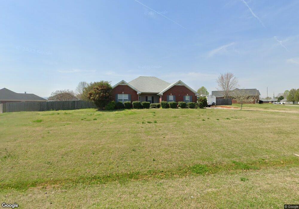
130 Marysa Dr Huntsville, AL 35811
Estimated Value: $265,247 - $297,000
3
Beds
2
Baths
1,655
Sq Ft
$172/Sq Ft
Est. Value
About This Home
This home is located at 130 Marysa Dr, Huntsville, AL 35811 and is currently estimated at $284,062, approximately $171 per square foot. 130 Marysa Dr is a home located in Madison County with nearby schools including Central School and Madison County High School.
Ownership History
Date
Name
Owned For
Owner Type
Purchase Details
Closed on
Mar 25, 2008
Sold by
Thomas Kenneth
Bought by
Kadow Brian J and Kadow Angela
Current Estimated Value
Home Financials for this Owner
Home Financials are based on the most recent Mortgage that was taken out on this home.
Original Mortgage
$55,000
Interest Rate
5.68%
Mortgage Type
New Conventional
Purchase Details
Closed on
May 31, 2007
Sold by
Collins Kelly D and Collins Shaun C
Bought by
Thomas Kenneth and Thomas Teresa J
Home Financials for this Owner
Home Financials are based on the most recent Mortgage that was taken out on this home.
Original Mortgage
$124,000
Interest Rate
6.12%
Mortgage Type
New Conventional
Purchase Details
Closed on
Mar 8, 2006
Sold by
Corcoran Kelly Dennis and Collins Kelly Denise
Bought by
Collins Kelly D and Collins Shaun C
Home Financials for this Owner
Home Financials are based on the most recent Mortgage that was taken out on this home.
Original Mortgage
$42,500
Interest Rate
6.05%
Mortgage Type
New Conventional
Create a Home Valuation Report for This Property
The Home Valuation Report is an in-depth analysis detailing your home's value as well as a comparison with similar homes in the area
Home Values in the Area
Average Home Value in this Area
Purchase History
| Date | Buyer | Sale Price | Title Company |
|---|---|---|---|
| Kadow Brian J | -- | -- | |
| Thomas Kenneth | -- | -- | |
| Collins Kelly D | -- | -- |
Source: Public Records
Mortgage History
| Date | Status | Borrower | Loan Amount |
|---|---|---|---|
| Closed | Kadow Brian J | $55,000 | |
| Previous Owner | Thomas Kenneth | $124,000 | |
| Previous Owner | Collins Kelly D | $42,500 |
Source: Public Records
Tax History Compared to Growth
Tax History
| Year | Tax Paid | Tax Assessment Tax Assessment Total Assessment is a certain percentage of the fair market value that is determined by local assessors to be the total taxable value of land and additions on the property. | Land | Improvement |
|---|---|---|---|---|
| 2024 | $842 | $24,760 | $4,500 | $20,260 |
| 2023 | $842 | $22,120 | $4,500 | $17,620 |
| 2022 | $712 | $21,100 | $3,500 | $17,600 |
| 2021 | $636 | $19,020 | $3,500 | $15,520 |
| 2020 | $546 | $16,470 | $2,500 | $13,970 |
| 2019 | $527 | $15,950 | $2,500 | $13,450 |
| 2018 | $504 | $15,340 | $0 | $0 |
| 2017 | $490 | $14,940 | $0 | $0 |
| 2016 | $490 | $14,940 | $0 | $0 |
| 2015 | $490 | $14,940 | $0 | $0 |
| 2014 | $485 | $14,820 | $0 | $0 |
Source: Public Records
Map
Nearby Homes
- 1519 Ryland Pike
- 151 Cooper Dr
- 216 Grasslands Rd
- 221 Grasslands Rd
- 3608 Maysville Rd NE
- 220 Poplar Glen
- 111 Cool Cir
- 477 Moontown Rd
- 211 Powell St
- 362 Moontown Rd
- 506 Moontown Rd
- 218 Powell St
- 123 Delta Pine Dr
- 113 Delta Pine Dr
- 102 Peyton Cir
- 172 Day Dr
- 115 Elvis Presley Blvd
- 107 Nolan Dr
- 124 Jodie Dr
- 109 Jones Cir