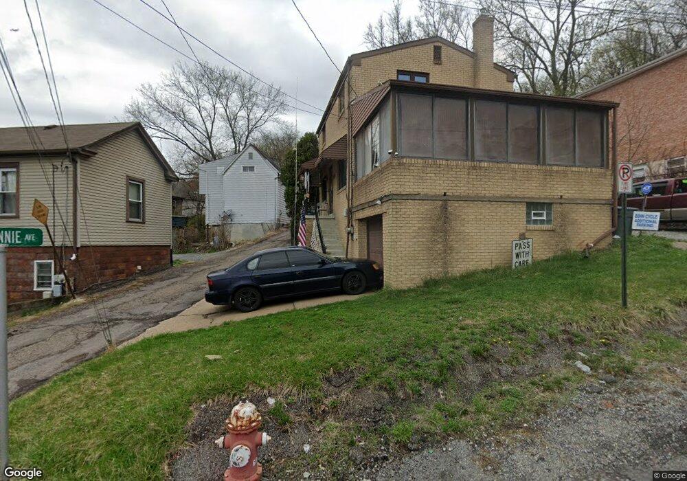
130 McKinnie Ave Mc Kees Rocks, PA 15136
Stowe Township NeighborhoodEstimated Value: $119,000 - $157,618
3
Beds
3
Baths
1,120
Sq Ft
$122/Sq Ft
Est. Value
About This Home
This home is located at 130 McKinnie Ave, Mc Kees Rocks, PA 15136 and is currently estimated at $136,405, approximately $121 per square foot. 130 McKinnie Ave is a home located in Allegheny County with nearby schools including Sto-Rox Primary Center, Sto-Rox Upper Elementary School, and Sto-Rox Junior/Senior High School.
Ownership History
Date
Name
Owned For
Owner Type
Purchase Details
Closed on
Oct 12, 2006
Sold by
Cieslak Jeffrey S
Bought by
Vasalech Paul A
Current Estimated Value
Home Financials for this Owner
Home Financials are based on the most recent Mortgage that was taken out on this home.
Original Mortgage
$51,500
Outstanding Balance
$30,748
Interest Rate
6.47%
Mortgage Type
New Conventional
Estimated Equity
$105,657
Purchase Details
Closed on
Nov 27, 2002
Sold by
Signorello Joseph D
Bought by
Cieslak Jeffrey S and Cieslak Amanda M
Create a Home Valuation Report for This Property
The Home Valuation Report is an in-depth analysis detailing your home's value as well as a comparison with similar homes in the area
Home Values in the Area
Average Home Value in this Area
Purchase History
| Date | Buyer | Sale Price | Title Company |
|---|---|---|---|
| Vasalech Paul A | $71,500 | -- | |
| Cieslak Jeffrey S | $69,400 | -- |
Source: Public Records
Mortgage History
| Date | Status | Borrower | Loan Amount |
|---|---|---|---|
| Open | Vasalech Paul A | $51,500 |
Source: Public Records
Tax History Compared to Growth
Tax History
| Year | Tax Paid | Tax Assessment Tax Assessment Total Assessment is a certain percentage of the fair market value that is determined by local assessors to be the total taxable value of land and additions on the property. | Land | Improvement |
|---|---|---|---|---|
| 2025 | $2,161 | $50,000 | $9,300 | $40,700 |
| 2024 | $2,161 | $50,000 | $9,300 | $40,700 |
| 2023 | $2,077 | $50,000 | $9,300 | $40,700 |
| 2022 | $2,011 | $50,000 | $9,300 | $40,700 |
| 2021 | $237 | $50,000 | $9,300 | $40,700 |
| 2020 | $1,965 | $50,000 | $9,300 | $40,700 |
| 2019 | $1,965 | $50,000 | $9,300 | $40,700 |
| 2018 | $237 | $50,000 | $9,300 | $40,700 |
| 2017 | $1,920 | $50,000 | $9,300 | $40,700 |
| 2016 | $237 | $50,000 | $9,300 | $40,700 |
| 2015 | $237 | $50,000 | $9,300 | $40,700 |
| 2014 | $1,920 | $50,000 | $9,300 | $40,700 |
Source: Public Records
Map
Nearby Homes
- 125 Frazier Ave
- 82 Harlem Ave
- 634 Broadway Ave
- 620 Broadway Ave
- 705 Broadway Ave
- 45 Harlem Ave
- 533 Woodward Ave
- 810 Woodward Ave
- 813 8th St
- 705 Russellwood Ave
- 22 Harlem Ave
- 713 Russellwood Ave
- 19 Shaw Ave
- 27 Highland Ave
- 815 Broadway Ave
- 38 May Ave
- 837 Benwood Ave
- 755 Frederick St
- 420 Broadway Ave
- 815 10th St
- 126 McKinnie Ave
- 811 Lamont St
- 817 Lamont St
- 809 Lamont St
- 128 McKinnie Ave
- 807 Lamont St
- 815 Lamont St
- 823 Lamont St
- 805 Lamont St
- 127 Frazier Ave
- 129 McKinnie Ave
- 127 McKinnie Ave
- 131 McKinnie Ave
- 227 McKinnie Ave
- 123 Frazier Ave
- 125 McKinnie Ave
- 803 Lamont St
- 825 Lamont St
- 121 Frazier Ave
- 820 Lamont St