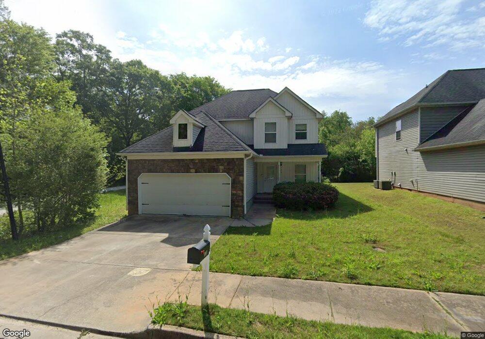
130 Michael Ryan Dr Unit N/a Porterdale, GA 30014
Estimated Value: $243,000 - $270,000
--
Bed
3
Baths
1,668
Sq Ft
$154/Sq Ft
Est. Value
About This Home
This home is located at 130 Michael Ryan Dr Unit N/a, Porterdale, GA 30014 and is currently estimated at $256,459, approximately $153 per square foot. 130 Michael Ryan Dr Unit N/a is a home located in Newton County with nearby schools including Middle Ridge Elementary School, Clements Middle School, and Newton High School.
Ownership History
Date
Name
Owned For
Owner Type
Purchase Details
Closed on
Sep 14, 2021
Sold by
Mcdaniel Darius
Bought by
Mcdaniel Darius and Burke Kathryn Christine
Current Estimated Value
Home Financials for this Owner
Home Financials are based on the most recent Mortgage that was taken out on this home.
Original Mortgage
$207,824
Outstanding Balance
$189,104
Interest Rate
2.8%
Mortgage Type
FHA
Estimated Equity
$67,355
Purchase Details
Closed on
Oct 31, 2012
Sold by
Res Ga Creekside Llc
Bought by
Swenson Diane
Purchase Details
Closed on
Dec 7, 2010
Sold by
Mitchell Building Llc
Bought by
Res-Ga Creekside Llc
Create a Home Valuation Report for This Property
The Home Valuation Report is an in-depth analysis detailing your home's value as well as a comparison with similar homes in the area
Home Values in the Area
Average Home Value in this Area
Purchase History
| Date | Buyer | Sale Price | Title Company |
|---|---|---|---|
| Mcdaniel Darius | -- | -- | |
| Mcdaniel Darius | $215,000 | -- | |
| Swenson Diane | $70,000 | -- | |
| Res-Ga Creekside Llc | $137,280 | -- |
Source: Public Records
Mortgage History
| Date | Status | Borrower | Loan Amount |
|---|---|---|---|
| Open | Mcdaniel Darius | $207,824 | |
| Closed | Mcdaniel Darius | $207,824 |
Source: Public Records
Tax History Compared to Growth
Tax History
| Year | Tax Paid | Tax Assessment Tax Assessment Total Assessment is a certain percentage of the fair market value that is determined by local assessors to be the total taxable value of land and additions on the property. | Land | Improvement |
|---|---|---|---|---|
| 2024 | $3,845 | $104,040 | $20,000 | $84,040 |
| 2023 | $3,880 | $100,280 | $8,000 | $92,280 |
| 2022 | $3,067 | $74,560 | $8,000 | $66,560 |
| 2021 | $2,468 | $55,600 | $8,000 | $47,600 |
| 2020 | $1,341 | $39,920 | $8,000 | $31,920 |
| 2019 | $1,353 | $39,680 | $8,000 | $31,680 |
| 2018 | $660 | $38,440 | $8,000 | $30,440 |
| 2017 | $1,545 | $45,000 | $8,000 | $37,000 |
| 2016 | $1,004 | $29,240 | $5,400 | $23,840 |
| 2015 | $889 | $25,880 | $4,200 | $21,680 |
| 2014 | $886 | $25,880 | $0 | $0 |
Source: Public Records
Map
Nearby Homes
- 130 Michael Ryan Dr
- 120 Michael Ryan Dr
- 110 Michael Ryan Dr Unit 110
- 110 Michael Ryan Dr Unit N/a
- 110 Michael Ryan Dr
- 28 S Broad St
- 100 Michael Ryan Dr
- 30 S Broad St
- 1 Cedar St
- 32 S Broad St
- 90 Michael Ryan Dr
- 105 Michael Ryan Dr Unit 12
- 105 Michael Ryan Dr
- 3 Cedar St
- 34 S Broad St
- 80 Michael Ryan Dr
- 95 Michael Ryan Dr Unit N/a
- 95 Michael Ryan Dr
- 26 S Broad St
- 70 Michael Ryan Dr