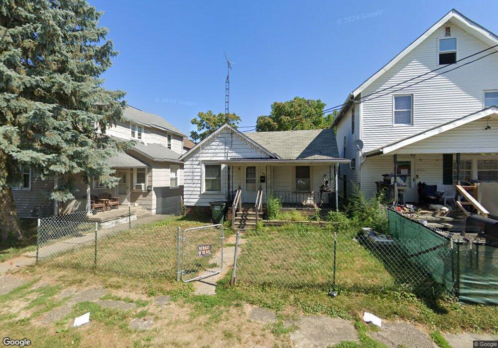
130 Milner St Alliance, OH 44601
Estimated Value: $60,000 - $102,000
2
Beds
1
Bath
804
Sq Ft
$102/Sq Ft
Est. Value
About This Home
This home is located at 130 Milner St, Alliance, OH 44601 and is currently estimated at $82,349, approximately $102 per square foot. 130 Milner St is a home located in Stark County with nearby schools including Alliance Elementary School at Rockhill, Alliance Intermediate School at Northside, and Alliance Middle School.
Ownership History
Date
Name
Owned For
Owner Type
Purchase Details
Closed on
Aug 13, 2014
Sold by
El Mobasher Heather and El Mobasher Heather T
Bought by
El Mobasher Gamal G
Current Estimated Value
Purchase Details
Closed on
Apr 13, 2005
Sold by
Mitchell Gary C
Bought by
El Mobasher Gamal and El Mobasher Heather
Purchase Details
Closed on
May 8, 2000
Sold by
Hud Secry Of
Bought by
Mitchell Gary C
Purchase Details
Closed on
Oct 8, 1999
Sold by
Washington Charles E and Rummel Wendy S
Bought by
Hud
Purchase Details
Closed on
Jun 10, 1991
Create a Home Valuation Report for This Property
The Home Valuation Report is an in-depth analysis detailing your home's value as well as a comparison with similar homes in the area
Home Values in the Area
Average Home Value in this Area
Purchase History
| Date | Buyer | Sale Price | Title Company |
|---|---|---|---|
| El Mobasher Gamal G | -- | None Available | |
| El Mobasher Gamal | $25,000 | Union Title Co | |
| Mitchell Gary C | $17,550 | Gateway Title Agency Inc | |
| Hud | $25,000 | -- | |
| -- | $24,500 | -- |
Source: Public Records
Tax History
| Year | Tax Paid | Tax Assessment Tax Assessment Total Assessment is a certain percentage of the fair market value that is determined by local assessors to be the total taxable value of land and additions on the property. | Land | Improvement |
|---|---|---|---|---|
| 2025 | -- | $17,330 | $2,630 | $14,700 |
| 2024 | -- | $17,330 | $2,630 | $14,700 |
| 2023 | $418 | $10,150 | $2,590 | $7,560 |
| 2022 | $421 | $10,150 | $2,590 | $7,560 |
| 2021 | $422 | $10,150 | $2,590 | $7,560 |
| 2020 | $416 | $9,350 | $2,240 | $7,110 |
| 2019 | $410 | $9,350 | $2,240 | $7,110 |
Source: Public Records
Map
Nearby Homes
- 46 Rosenberry St
- 226 Milner St
- 167 11th St
- 234 Rosenberry St
- 807 S Union Ave
- 203 Glamorgan St
- 140 W Summit St
- 452 E Summit St
- 224 Shadyside Ct
- 535 S Union Ave
- 233 Shadyside Ct
- 551 South St
- 0 E Oxford St
- 1010 S Liberty Ave
- 427 S Union Ave
- 62 E High St
- 814 Milner St
- 228 W Oxford St
- 935 S Morgan Ave
- V/L S Freedom Ave
- 124 Milner St
- 134 Milner St
- 114 Milner St
- 142 Milner St
- 150 Milner St
- 113 Rosenberry St
- 103 Rosenberry St
- 103 Rosenberry St Unit 103/105
- 143 Rosenberry St
- 160 Milner St
- 115 Milner St
- 155 Rosenberry St
- 68 Milner St
- 161 Rosenberry St
- 170 Milner St
- 165 Rosenberry St
- 180 Milner St
- 171 1711/2 Milner St
- 171 Milner St
- 179 Rosenberry St