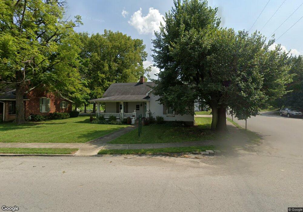
130 Mooreland Ave Harrodsburg, KY 40330
Estimated Value: $157,387 - $178,000
2
Beds
1
Bath
1,441
Sq Ft
$117/Sq Ft
Est. Value
About This Home
This home is located at 130 Mooreland Ave, Harrodsburg, KY 40330 and is currently estimated at $168,597, approximately $117 per square foot. 130 Mooreland Ave is a home located in Mercer County with nearby schools including Mercer County Elementary School, Mercer County Intermediate School, and King Middle School.
Ownership History
Date
Name
Owned For
Owner Type
Purchase Details
Closed on
May 31, 2017
Sold by
Holt Stuart and Holt Cathie
Bought by
Dressler Perry S and Dressler Kristie L
Current Estimated Value
Home Financials for this Owner
Home Financials are based on the most recent Mortgage that was taken out on this home.
Original Mortgage
$109,473
Interest Rate
4.02%
Mortgage Type
Unknown
Create a Home Valuation Report for This Property
The Home Valuation Report is an in-depth analysis detailing your home's value as well as a comparison with similar homes in the area
Home Values in the Area
Average Home Value in this Area
Purchase History
| Date | Buyer | Sale Price | Title Company |
|---|---|---|---|
| Dressler Perry S | $119,000 | None Available |
Source: Public Records
Mortgage History
| Date | Status | Borrower | Loan Amount |
|---|---|---|---|
| Closed | Dressler Perry S | $109,473 |
Source: Public Records
Tax History Compared to Growth
Tax History
| Year | Tax Paid | Tax Assessment Tax Assessment Total Assessment is a certain percentage of the fair market value that is determined by local assessors to be the total taxable value of land and additions on the property. | Land | Improvement |
|---|---|---|---|---|
| 2024 | $1,305 | $117,000 | $8,000 | $109,000 |
| 2023 | $1,317 | $117,000 | $0 | $0 |
| 2022 | $1,322 | $119,000 | $0 | $0 |
| 2021 | $1,338 | $119,000 | $0 | $0 |
| 2020 | $1,338 | $119,000 | $10,000 | $109,000 |
| 2019 | $1,359 | $119,000 | $10,000 | $109,000 |
| 2018 | $1,327 | $119,000 | $0 | $0 |
| 2017 | $806 | $75,000 | $0 | $0 |
| 2016 | $498 | $47,229 | $0 | $0 |
| 2015 | $483 | $47,229 | $15,000 | $32,229 |
| 2014 | $483 | $47,229 | $15,000 | $32,229 |
| 2010 | -- | $47,229 | $15,000 | $32,229 |
Source: Public Records
Map
Nearby Homes
- 471 Chestnut St
- 435 Linden Ave
- 365 Mooreland Ave
- 463 Linden Ave
- 202 S College St
- 340 Dixie Manor
- 120 S Main St
- 130 N Main St Unit 130/132/134
- 146 Marimon Ave
- 366 E Lexington St
- 324 Woodsland Dr
- 531 Fairway Dr
- 214 E Factory St
- 218 Fort St
- 441 Magoffin St
- 228 Fort St
- 404 Goddard St
- Lots 28-35 Beaumont Inn Dr
- 655 Beaumont Ave
- 342 N Main St
- 130 Moreland Ave
- 202 Mooreland Ave
- 419 Chestnut St
- 112 Mooreland Ave
- 416 Chestnut St
- 208 Mooreland Ave
- 422 Chestnut St
- 104 Mooreland Ave
- 429 Chestnut St Unit 7
- 429 Chestnut St Unit 12
- 429 Chestnut St
- 429 Chestnut St Unit 10
- 429 Chestnut St Unit 6
- 429 Chestnut St Unit 9
- 429 Chestnut St Unit 8
- 442 Beaumont Ave
- 122 Mooreland Ave
- 432 Beaumont Ave
- 423 College Manor
- 362 N Main St