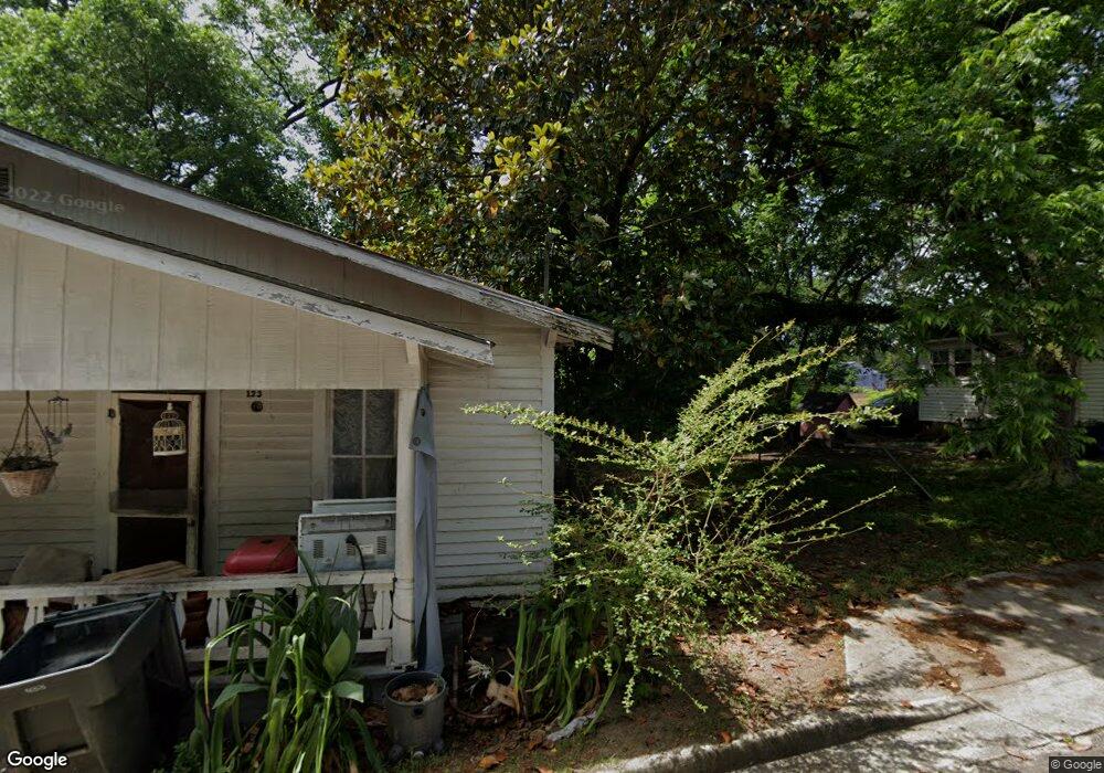
130 N Mulberry St Statesboro, GA 30458
Estimated Value: $88,000 - $205,000
4
Beds
2
Baths
1,739
Sq Ft
$87/Sq Ft
Est. Value
About This Home
This home is located at 130 N Mulberry St, Statesboro, GA 30458 and is currently estimated at $150,831, approximately $86 per square foot. 130 N Mulberry St is a home located in Bulloch County with nearby schools including Mattie Lively Elementary School, Statesboro High School, and William James Middle School.
Ownership History
Date
Name
Owned For
Owner Type
Purchase Details
Closed on
Oct 29, 2015
Sold by
Greene Robert
Bought by
Moore Russell and Fye Johnnie Sue
Current Estimated Value
Purchase Details
Closed on
Aug 5, 2014
Sold by
Moore Russell
Bought by
Greene Robert and Greene Gloria
Purchase Details
Closed on
Sep 29, 2005
Sold by
Moore Mildred W
Bought by
Moore Russell
Purchase Details
Closed on
Nov 1, 1988
Bought by
Moore John L
Create a Home Valuation Report for This Property
The Home Valuation Report is an in-depth analysis detailing your home's value as well as a comparison with similar homes in the area
Home Values in the Area
Average Home Value in this Area
Purchase History
| Date | Buyer | Sale Price | Title Company |
|---|---|---|---|
| Moore Russell | -- | -- | |
| Greene Robert | $13,000 | -- | |
| Moore Russell | -- | -- | |
| Moore John L | -- | -- |
Source: Public Records
Tax History Compared to Growth
Tax History
| Year | Tax Paid | Tax Assessment Tax Assessment Total Assessment is a certain percentage of the fair market value that is determined by local assessors to be the total taxable value of land and additions on the property. | Land | Improvement |
|---|---|---|---|---|
| 2024 | $868 | $31,680 | $3,800 | $27,880 |
| 2023 | $1,030 | $35,960 | $4,000 | $31,960 |
| 2022 | $598 | $30,486 | $4,000 | $26,486 |
| 2021 | $547 | $27,138 | $4,000 | $23,138 |
| 2020 | $536 | $25,828 | $4,000 | $21,828 |
| 2019 | $544 | $26,067 | $4,000 | $22,067 |
| 2018 | $553 | $25,398 | $4,000 | $21,398 |
| 2017 | $539 | $24,470 | $4,000 | $20,470 |
| 2016 | $533 | $23,570 | $4,000 | $19,570 |
| 2015 | $522 | $22,991 | $4,000 | $18,991 |
| 2014 | $469 | $22,519 | $4,000 | $18,519 |
Source: Public Records
Map
Nearby Homes
- 6.24 ACRES E Olliff St
- 0 Oak St Unit OAK ST/ LOT 2
- LOT 21 Oak Hill Dr
- 17 E Parrish St
- 0 Highway 67 Unit 10541885
- 9 Broad St
- 318 N Main St
- 316 E Main St
- 328 N Main St
- 118 Roundtree St
- 7 E Moore St
- 118 Pin Oak Ln Unit 47
- 11 W Moore St
- 460 Martin Luther King jr Dr
- 405 N Main St
- 118 Lee St
- 00 W Grady St
- 103 Floyd St
- 0 Green Ridge Ct Unit 40 8990863
- 0 Green Ridge Ct Unit SA344501
- 128 N Mulberry St
- 1 Mulberry Ct
- 0 Groover Ln Unit 7346557
- 1 Groover Ln Unit 1-5
- 1 Groover Ln Unit B&C
- 1 Groover Ln
- 1 Groover Ln
- 3 Groover Ln Unit F
- 3 Groover Ln Unit E
- 3 Groover Ln
- 3 Groover Ln Unit G
- 1 N Mulberry St
- 5 Groover Ln Unit D
- 5 Groover Ln
- 4 Groover Ln
- 55 N Zetterower Ave
- N N Zetterower Ave Unit 7A
- N N Zetterower Ave Unit 9D
- N N Zetterower Ave
- 2041 Northside Dr E