130 Nichols Rd Cohasset, MA 02025
Estimated Value: $4,169,000 - $5,708,986
5
Beds
8
Baths
11,900
Sq Ft
$406/Sq Ft
Est. Value
About This Home
This home is located at 130 Nichols Rd, Cohasset, MA 02025 and is currently estimated at $4,837,329, approximately $406 per square foot. 130 Nichols Rd is a home located in Norfolk County with nearby schools including Joseph Osgood School, Deer Hill School, and Cohasset Middle School.
Ownership History
Date
Name
Owned For
Owner Type
Purchase Details
Closed on
Mar 27, 2019
Sold by
130 Nichols Road 2018 Irt
Bought by
Raczkowski Richard G and Ra Helen H
Current Estimated Value
Home Financials for this Owner
Home Financials are based on the most recent Mortgage that was taken out on this home.
Original Mortgage
$1,357,000
Outstanding Balance
$1,193,044
Interest Rate
4.3%
Mortgage Type
Purchase Money Mortgage
Estimated Equity
$3,644,285
Purchase Details
Closed on
Jul 16, 2018
Sold by
J H Walsh 3Rd 2005 Ret
Bought by
130 Nichols Road 2018
Purchase Details
Closed on
Jan 27, 2011
Sold by
Walsh 3Rd James H and Walsh Annellen M
Bought by
James H Walsh 3 2005 R
Purchase Details
Closed on
May 1, 1978
Bought by
James H Walsh 3Rd Ret
Create a Home Valuation Report for This Property
The Home Valuation Report is an in-depth analysis detailing your home's value as well as a comparison with similar homes in the area
Home Values in the Area
Average Home Value in this Area
Purchase History
| Date | Buyer | Sale Price | Title Company |
|---|---|---|---|
| Raczkowski Richard G | $2,357,500 | -- | |
| 130 Nichols Road 2018 | -- | -- | |
| James H Walsh 3 2005 R | -- | -- | |
| James H Walsh 3Rd Ret | -- | -- |
Source: Public Records
Mortgage History
| Date | Status | Borrower | Loan Amount |
|---|---|---|---|
| Open | Raczkowski Richard G | $1,357,000 | |
| Previous Owner | James H Walsh 3Rd Ret | $385,000 |
Source: Public Records
Tax History Compared to Growth
Tax History
| Year | Tax Paid | Tax Assessment Tax Assessment Total Assessment is a certain percentage of the fair market value that is determined by local assessors to be the total taxable value of land and additions on the property. | Land | Improvement |
|---|---|---|---|---|
| 2025 | $48,109 | $4,154,500 | $1,366,300 | $2,788,200 |
| 2024 | $45,244 | $3,717,700 | $1,301,000 | $2,416,700 |
| 2023 | $43,810 | $3,712,700 | $1,301,000 | $2,411,700 |
| 2022 | $34,343 | $2,734,300 | $1,301,000 | $1,433,300 |
| 2021 | $13,654 | $1,047,100 | $1,047,100 | $0 |
| 2020 | $21,949 | $1,692,300 | $1,047,100 | $645,200 |
| 2019 | $21,831 | $1,692,300 | $1,047,100 | $645,200 |
| 2018 | $21,645 | $1,692,300 | $1,047,100 | $645,200 |
| 2017 | $21,159 | $1,620,100 | $1,047,100 | $573,000 |
| 2016 | $20,867 | $1,620,100 | $1,047,100 | $573,000 |
| 2015 | $20,591 | $1,620,100 | $1,047,100 | $573,000 |
| 2014 | $20,316 | $1,620,100 | $1,047,100 | $573,000 |
Source: Public Records
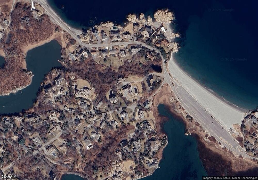
Map
Nearby Homes
- 356 Atlantic Ave
- 101 Nichols Rd
- 17 Mohawk Way
- 135 Beach St
- 25 Mohawk Way
- 11 Beach St
- 146 N Main St Unit 146
- 25 Ripley Rd
- 89 Ripley Rd
- 21-23 Elm Ct
- 247 Forest Ave
- 128 Elm St Unit 211
- 104 Howard Gleason Rd
- 4 Margin St Unit A
- 15 Cushing Rd
- 100 Howard Gleason Rd
- 87 Elm St Unit 215
- 124 Elm St Unit 202
- 124 Elm St Unit 308
- 296 N Main St
- 137 Nichols Rd
- 137 Nichols Rd
- 150 Nichols Rd
- 120 Nichols Rd
- 135 Nichols Rd
- 146 Nichols Rd
- 121 Nichols Rd
- 110 Nichols Rd
- 111 Nichols Rd
- 133 Nichols Rd
- 374 Atlantic Ave
- 368 Atlantic Ave
- 364 Atlantic Ave
- 109 Nichols Rd
- 380 Atlantic Ave
- 100 Nichols Rd
- 390 Atlantic Ave
- 125 Nichols Rd
- 125 Nichols Rd Unit 1
- 125 Nichols Rd Unit 2