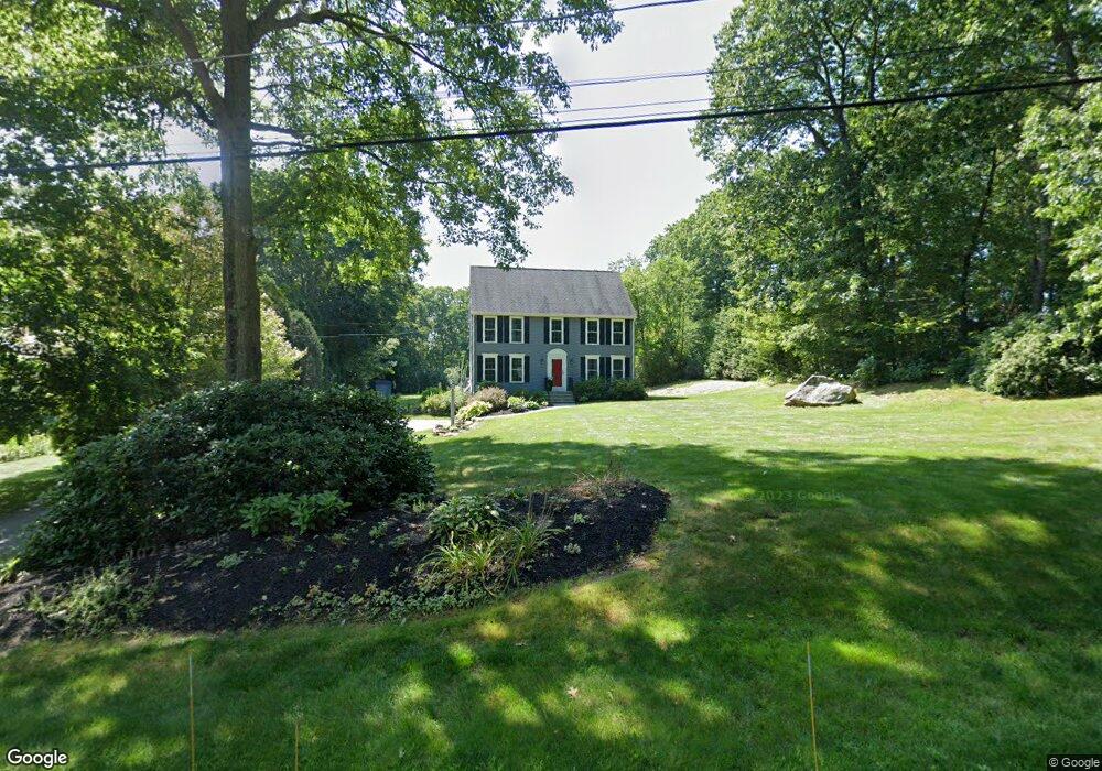
130 Nourse St Westborough, MA 01581
Estimated Value: $708,000 - $864,000
4
Beds
3
Baths
2,064
Sq Ft
$392/Sq Ft
Est. Value
About This Home
This home is located at 130 Nourse St, Westborough, MA 01581 and is currently estimated at $809,620, approximately $392 per square foot. 130 Nourse St is a home located in Worcester County with nearby schools including Westborough High School, Al-Hamra Academy, and Ebridge Montessori School.
Ownership History
Date
Name
Owned For
Owner Type
Purchase Details
Closed on
Nov 23, 2016
Sold by
Johnson Raymond C and Johnson Mary J
Bought by
R & M Johnson Ret
Current Estimated Value
Purchase Details
Closed on
Jan 3, 1992
Sold by
Ostenfeld William H and Ostenfeld Bette
Bought by
Lidwin Stephen W and Lidwin Ellen
Home Financials for this Owner
Home Financials are based on the most recent Mortgage that was taken out on this home.
Original Mortgage
$148,000
Interest Rate
8.56%
Mortgage Type
Purchase Money Mortgage
Create a Home Valuation Report for This Property
The Home Valuation Report is an in-depth analysis detailing your home's value as well as a comparison with similar homes in the area
Home Values in the Area
Average Home Value in this Area
Purchase History
| Date | Buyer | Sale Price | Title Company |
|---|---|---|---|
| R & M Johnson Ret | -- | -- | |
| Lidwin Stephen W | $185,000 | -- |
Source: Public Records
Mortgage History
| Date | Status | Borrower | Loan Amount |
|---|---|---|---|
| Previous Owner | Lidwin Stephen W | $160,000 | |
| Previous Owner | Lidwin Stephen W | $148,000 |
Source: Public Records
Tax History Compared to Growth
Tax History
| Year | Tax Paid | Tax Assessment Tax Assessment Total Assessment is a certain percentage of the fair market value that is determined by local assessors to be the total taxable value of land and additions on the property. | Land | Improvement |
|---|---|---|---|---|
| 2025 | $11,400 | $699,800 | $335,900 | $363,900 |
| 2024 | $10,788 | $657,400 | $312,400 | $345,000 |
| 2023 | $10,267 | $609,700 | $296,100 | $313,600 |
| 2022 | $9,471 | $512,200 | $235,300 | $276,900 |
| 2021 | $9,098 | $490,700 | $209,700 | $281,000 |
| 2020 | $9,024 | $492,600 | $218,200 | $274,400 |
| 2019 | $8,701 | $474,700 | $218,200 | $256,500 |
| 2018 | $7,997 | $433,200 | $203,300 | $229,900 |
| 2017 | $7,684 | $431,700 | $203,300 | $228,400 |
| 2016 | $7,451 | $419,300 | $192,600 | $226,700 |
| 2015 | $7,529 | $405,000 | $192,600 | $212,400 |
Source: Public Records
Map
Nearby Homes
- 8 Arch St
- 10 Linda St
- 30 Arch St
- 71 Nourse St
- 201 Old Westboro Rd
- 49 Arch St Unit 2
- 61 Wesson St
- 1 Benjamin Dr
- Lot 1 Beeton Path
- 165 Green St
- 8 Arch St
- 17 Olde Hickory Path
- 603 South St
- 457 Walnut St
- 19 Magnolia Ln
- 30 Old Nourse St
- 22 Capt Samuel Forbush Rd
- 562 South St
- 16 Daania Dr Unit 16
- 45 Stoney Hill Rd