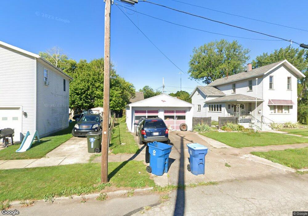
130 Oak St Port Clinton, OH 43452
Estimated Value: $194,000 - $247,000
4
Beds
1
Bath
1,785
Sq Ft
$124/Sq Ft
Est. Value
About This Home
This home is located at 130 Oak St, Port Clinton, OH 43452 and is currently estimated at $222,009, approximately $124 per square foot. 130 Oak St is a home located in Ottawa County with nearby schools including Bataan Memorial Primary School, Bataan Memorial Intermediate School, and Port Clinton Middle School.
Ownership History
Date
Name
Owned For
Owner Type
Purchase Details
Closed on
Dec 14, 2015
Sold by
Cox Geraldine S
Bought by
Dodge Carl E
Current Estimated Value
Home Financials for this Owner
Home Financials are based on the most recent Mortgage that was taken out on this home.
Original Mortgage
$54,000
Outstanding Balance
$46,589
Interest Rate
3.88%
Mortgage Type
USDA
Estimated Equity
$175,420
Purchase Details
Closed on
Oct 10, 2014
Sold by
Estate Of Sharon Ann Condrey
Bought by
Cox Geraldine S
Create a Home Valuation Report for This Property
The Home Valuation Report is an in-depth analysis detailing your home's value as well as a comparison with similar homes in the area
Home Values in the Area
Average Home Value in this Area
Purchase History
| Date | Buyer | Sale Price | Title Company |
|---|---|---|---|
| Dodge Carl E | $40,000 | Hartung Title | |
| Cox Geraldine S | -- | None Available |
Source: Public Records
Mortgage History
| Date | Status | Borrower | Loan Amount |
|---|---|---|---|
| Open | Dodge Carl E | $54,000 |
Source: Public Records
Tax History Compared to Growth
Tax History
| Year | Tax Paid | Tax Assessment Tax Assessment Total Assessment is a certain percentage of the fair market value that is determined by local assessors to be the total taxable value of land and additions on the property. | Land | Improvement |
|---|---|---|---|---|
| 2024 | $1,790 | $51,639 | $15,225 | $36,414 |
| 2023 | $1,790 | $40,513 | $12,173 | $28,340 |
| 2022 | $1,571 | $40,513 | $12,173 | $28,340 |
| 2021 | $1,570 | $40,510 | $12,170 | $28,340 |
| 2020 | $1,090 | $29,450 | $5,400 | $24,050 |
| 2019 | $1,079 | $29,450 | $5,400 | $24,050 |
| 2018 | $1,077 | $29,450 | $5,400 | $24,050 |
| 2017 | $1,058 | $28,460 | $5,400 | $23,060 |
| 2016 | $1,060 | $28,460 | $5,400 | $23,060 |
| 2015 | $1,093 | $28,460 | $5,400 | $23,060 |
| 2014 | $529 | $27,330 | $5,400 | $21,930 |
| 2013 | $1,061 | $27,330 | $5,400 | $21,930 |
Source: Public Records
Map
Nearby Homes
- 218 Elm St
- 801 E 3rd St
- 1201 E 3rd St
- 35 N Beach St
- 29 N Beach St
- 116 Walnut St
- 214 Linden St
- 525 E 2nd St
- 521 E 2nd St
- 423 Fulton St
- 115 Driftwood Dr
- 183 Driftwood Dr
- 164 Driftwood Dr
- 188 Driftwood Dr
- 168 Morningside Dr
- 2621 N Peachtree Lane # Sublot 1
- 2453 N Peachtree Lane # Sublot 7
- 2481 N Peachtree Lane # Sublot 6
- 2565 N Peachtree Lane # Sublot 3
- 0 Mouse Island Unit 20252634