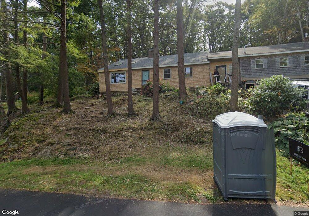
130 Oakhurst Rd Cape Elizabeth, ME 04107
Estimated Value: $852,000 - $1,126,000
3
Beds
3
Baths
2,100
Sq Ft
$491/Sq Ft
Est. Value
About This Home
This home is located at 130 Oakhurst Rd, Cape Elizabeth, ME 04107 and is currently estimated at $1,030,852, approximately $490 per square foot. 130 Oakhurst Rd is a home located in Cumberland County with nearby schools including Pond Cove Elementary School, Cape Elizabeth Middle School, and Cape Elizabeth High School.
Ownership History
Date
Name
Owned For
Owner Type
Purchase Details
Closed on
Oct 21, 2005
Sold by
Franklin Christopher W and Franklin Julie A
Bought by
Martin Joe P and Martin Karen D
Current Estimated Value
Home Financials for this Owner
Home Financials are based on the most recent Mortgage that was taken out on this home.
Original Mortgage
$278,350
Outstanding Balance
$148,610
Interest Rate
5.72%
Mortgage Type
Purchase Money Mortgage
Estimated Equity
$882,242
Create a Home Valuation Report for This Property
The Home Valuation Report is an in-depth analysis detailing your home's value as well as a comparison with similar homes in the area
Home Values in the Area
Average Home Value in this Area
Purchase History
| Date | Buyer | Sale Price | Title Company |
|---|---|---|---|
| Martin Joe P | -- | -- |
Source: Public Records
Mortgage History
| Date | Status | Borrower | Loan Amount |
|---|---|---|---|
| Open | Martin Joe P | $278,350 |
Source: Public Records
Tax History Compared to Growth
Tax History
| Year | Tax Paid | Tax Assessment Tax Assessment Total Assessment is a certain percentage of the fair market value that is determined by local assessors to be the total taxable value of land and additions on the property. | Land | Improvement |
|---|---|---|---|---|
| 2024 | $9,281 | $843,700 | $494,000 | $349,700 |
| 2023 | $18,848 | $843,700 | $494,000 | $349,700 |
| 2022 | $6,783 | $320,700 | $132,700 | $188,000 |
| 2021 | $6,497 | $320,700 | $132,700 | $188,000 |
| 2020 | $6,388 | $320,700 | $132,700 | $188,000 |
| 2019 | $6,311 | $320,700 | $132,700 | $188,000 |
| 2018 | $6,100 | $320,700 | $132,700 | $188,000 |
| 2017 | $5,773 | $320,700 | $132,700 | $188,000 |
| 2016 | $5,625 | $320,700 | $132,700 | $188,000 |
| 2015 | $5,413 | $320,700 | $132,700 | $188,000 |
| 2013 | $5,221 | $320,700 | $132,700 | $188,000 |
Source: Public Records
Map
Nearby Homes
- 12 Abaco Dr
- 10 Cheverus Rd
- 59 Wood Rd
- 7 Mountain View Rd
- 920 Shore Rd
- 26 Spurwink Ave
- 2 Drew Rd
- 32 Ship Channel Rd
- 1 Channel Rd
- 29 Westminster Terrace
- 63 Cloyster Rd
- 43 O'Neil St
- 57 O'Neil St
- 134 S Richland St
- 90 Ocean House Rd
- 22 Taylor St
- 70 Vincent St
- 341 Pine St Unit 301
- 310 Pine St
- 00000 Shore Rd
- 116 Oakhurst Rd
- 124 Oakhurst Rd
- 10 Brownstone Ln
- 136 Oakhurst Rd
- 120 Oakhurst Rd
- 28 Deerfield Ln
- 140 Oakhurst Rd
- 129 Oakhurst Rd
- 16 Abaco Dr
- 9 Hemlock Hill Rd
- 143 Oakhurst Rd
- 10 Abaco Dr
- 11 Hemlock Hill Rd
- 144 Oakhurst Rd
- 15 Abaco Dr
- 8 Abaco Dr
- 11 Abaco Dr
- 127 Oakhurst Rd
- 10 Hemlock Hill Rd
- 9 Abaco Dr