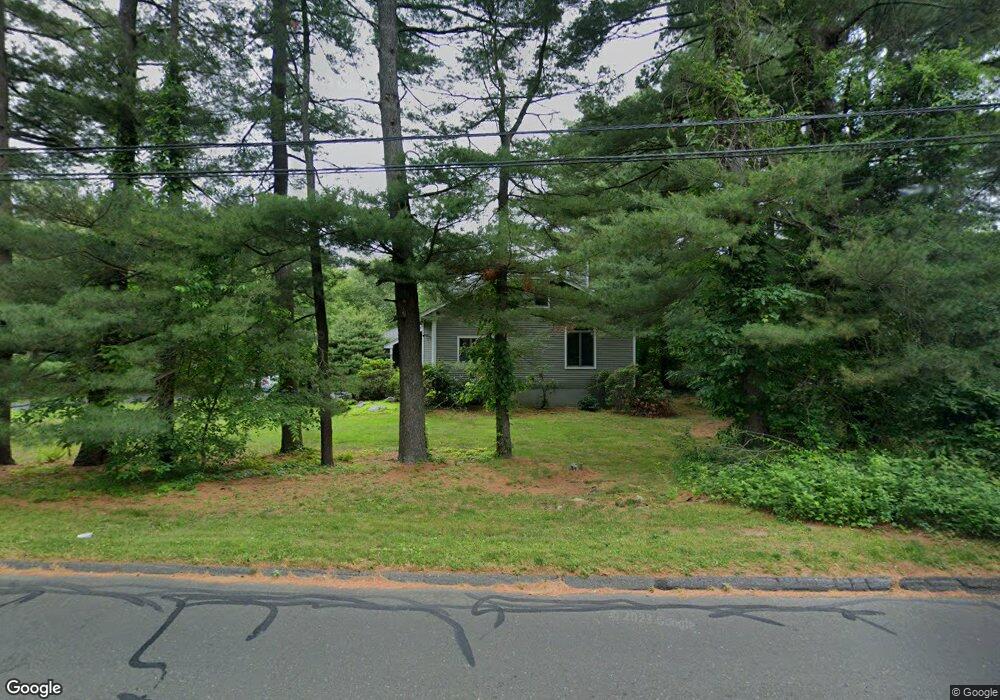
130 Partrick Ave Norwalk, CT 06851
Cranbury NeighborhoodEstimated Value: $965,000 - $1,127,435
3
Beds
4
Baths
2,758
Sq Ft
$378/Sq Ft
Est. Value
About This Home
This home is located at 130 Partrick Ave, Norwalk, CT 06851 and is currently estimated at $1,041,359, approximately $377 per square foot. 130 Partrick Ave is a home located in Fairfield County with nearby schools including Wolfpit School, Nathan Hale Middle School, and Norwalk High School.
Ownership History
Date
Name
Owned For
Owner Type
Purchase Details
Closed on
Aug 7, 2003
Sold by
Watson John F and Watson Cari L
Bought by
Westcott William and Tracy Pamela
Current Estimated Value
Purchase Details
Closed on
Aug 7, 1998
Sold by
Brown David A and Brown Mary A
Bought by
Watson John F and Watson Cari L
Purchase Details
Closed on
Jul 18, 1995
Sold by
Delise Sal and Delise Rose
Bought by
Brown David and Brown Mary
Purchase Details
Closed on
Jun 30, 1988
Sold by
Weaver Paul
Bought by
Delise Sal
Create a Home Valuation Report for This Property
The Home Valuation Report is an in-depth analysis detailing your home's value as well as a comparison with similar homes in the area
Home Values in the Area
Average Home Value in this Area
Purchase History
| Date | Buyer | Sale Price | Title Company |
|---|---|---|---|
| Westcott William | $150,000 | -- | |
| Westcott William | $150,000 | -- | |
| Watson John F | $469,000 | -- | |
| Watson John F | $469,000 | -- | |
| Brown David | $415,000 | -- | |
| Brown David | $415,000 | -- | |
| Delise Sal | $527,000 | -- |
Source: Public Records
Mortgage History
| Date | Status | Borrower | Loan Amount |
|---|---|---|---|
| Open | Delise Sal | $620,000 | |
| Closed | Delise Sal | $550,000 |
Source: Public Records
Tax History Compared to Growth
Tax History
| Year | Tax Paid | Tax Assessment Tax Assessment Total Assessment is a certain percentage of the fair market value that is determined by local assessors to be the total taxable value of land and additions on the property. | Land | Improvement |
|---|---|---|---|---|
| 2025 | $15,159 | $633,060 | $201,060 | $432,000 |
| 2024 | $14,935 | $633,060 | $201,060 | $432,000 |
| 2023 | $12,089 | $480,460 | $160,270 | $320,190 |
| 2022 | $11,864 | $480,460 | $160,270 | $320,190 |
| 2021 | $11,555 | $480,460 | $160,270 | $320,190 |
| 2020 | $11,549 | $480,460 | $160,270 | $320,190 |
| 2019 | $11,225 | $480,460 | $160,270 | $320,190 |
| 2018 | $11,899 | $446,280 | $172,910 | $273,370 |
| 2017 | $11,490 | $446,280 | $172,910 | $273,370 |
| 2016 | $11,380 | $446,280 | $172,910 | $273,370 |
| 2015 | $11,349 | $446,280 | $172,910 | $273,370 |
| 2014 | $11,202 | $446,280 | $172,910 | $273,370 |
Source: Public Records
Map
Nearby Homes
- 4 Frank St
- 8 Stonecrop Rd
- 101 Chestnut Hill Rd
- 27 Stonecrop Rd
- 9 Trailside Dr
- 7 Peaceful Ln
- 3 Tanglewood Ln
- 35 Mohawk Dr
- 41 Mohawk Dr
- 4 Newtown Turnpike
- 2 Wildgoose Ln
- 33 Pequot Trail
- 56 Partrick Rd
- 32 Thistle Rd
- 57 Partrick Rd
- 30 Honeysuckle Dr
- 13 Orchard Hill Rd
- 142 Wolfpit Ave
- 180 E Rocks Rd
- 9 Allen Ct
- 128 Partrick Ave
- 134 Partrick Ave
- 132 1/2 Partrick Ave
- 131 Partrick Ave
- 132 Partrick Ave
- 136 Partrick Ave
- 133 Partrick Ave
- 258 Wolfpit Ave
- 122 Partrick Ave
- 253 Wolfpit Ave
- 135 1/2 Partrick Ave
- 254 Wolfpit Ave
- 138 Partrick Ave
- 314 Newtown Ave
- 119 Partrick Ave
- 251 Wolfpit Ave
- 252 Wolfpit Ave
- 124 Partrick Ave
- 135 Partrick Ave
- 139 Partrick Ave