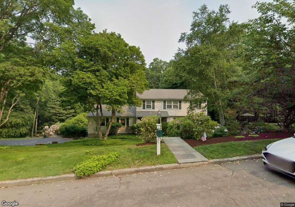
130 Pheasant Ln Fairfield, CT 06824
University NeighborhoodEstimated Value: $1,316,000 - $1,630,000
About This Home
This home is located at 130 Pheasant Ln, Fairfield, CT 06824 and is currently estimated at $1,445,843, approximately $590 per square foot. 130 Pheasant Ln is a home located in Fairfield County with nearby schools including Osborn Hill Elementary School, Fairfield Woods Middle School, and Fairfield Ludlowe High School.
Ownership History
We collect this data history from publicly available records. To have your information removed, we recommend requesting removal directly through your county’s website.
Purchase Details
Home Values in the Area
Average Home Value in this Area
Purchase History
We collect this data history from publicly available records. To have your information removed, we recommend requesting removal directly through your county’s website.
| Date | Buyer | Sale Price | Title Company |
|---|---|---|---|
| -- | -- |
Tax History
We collect this data history from publicly available records. To have your information removed, we recommend requesting removal directly through your county’s website.
| Year | Tax Paid | Tax Assessment Tax Assessment Total Assessment is a certain percentage of the fair market value that is determined by local assessors to be the total taxable value of land and additions on the property. | Land | Improvement |
|---|---|---|---|---|
| 2025 | $14,225 | $501,060 | $304,360 | $196,700 |
| 2024 | $13,980 | $501,060 | $304,360 | $196,700 |
| 2023 | $13,784 | $501,060 | $304,360 | $196,700 |
| 2022 | $13,649 | $501,060 | $304,360 | $196,700 |
| 2021 | $13,519 | $501,060 | $304,360 | $196,700 |
| 2020 | $12,540 | $468,090 | $249,900 | $218,190 |
| 2019 | $12,540 | $468,090 | $249,900 | $218,190 |
| 2018 | $12,339 | $468,090 | $249,900 | $218,190 |
| 2017 | $12,086 | $468,090 | $249,900 | $218,190 |
| 2016 | $11,913 | $468,090 | $249,900 | $218,190 |
| 2015 | $11,568 | $466,620 | $263,900 | $202,720 |
| 2014 | $11,386 | $466,620 | $263,900 | $202,720 |
Map
- 45 Pheasant Ln
- 1185 Stillson Rd
- 73 Oxbow Rd
- 2465 Mill Plain Rd
- 1964 N Benson Rd
- 58 Millspaugh Dr
- 75 Centerbrook Rd
- 163 Windsor Rd
- 35 Crystal Ln
- 485 Mountain Laurel Rd
- 631 Reid St
- 280 Tuckahoe Ln
- 439 Stillson Rd
- 52 Robin Ln
- 43 Green Knolls Ln
- 475 Springer Rd
- 84 University Dr
- 190 Sasapequan Rd
- 130 Stillson Rd
- 148 Szost Dr
- 137 Pheasant Ln
- 105 Pheasant Ln
- 92 Pheasant Ln
- 71 Hitching Post Ln
- 67 Pheasant Ln
- 60 Hitching Post Ln
- 58 Pheasant Ln
- 84 Hitching Post Ln
- 53 Hitching Post Ln
- 31 Hitching Post Ln
- 706 Brookside Dr
- 9 Hitching Post Ln
- 15 Pheasant Ln
- 38 Wagon Hill Rd
- 2381 N Benson Rd
- 34 Galloping Hill Rd
- 2405 N Benson Rd
- 84 Wagon Hill Rd
- 56 Wagon Hill Rd
- 2479 N Benson Rd
Ask me questions while you tour the home.