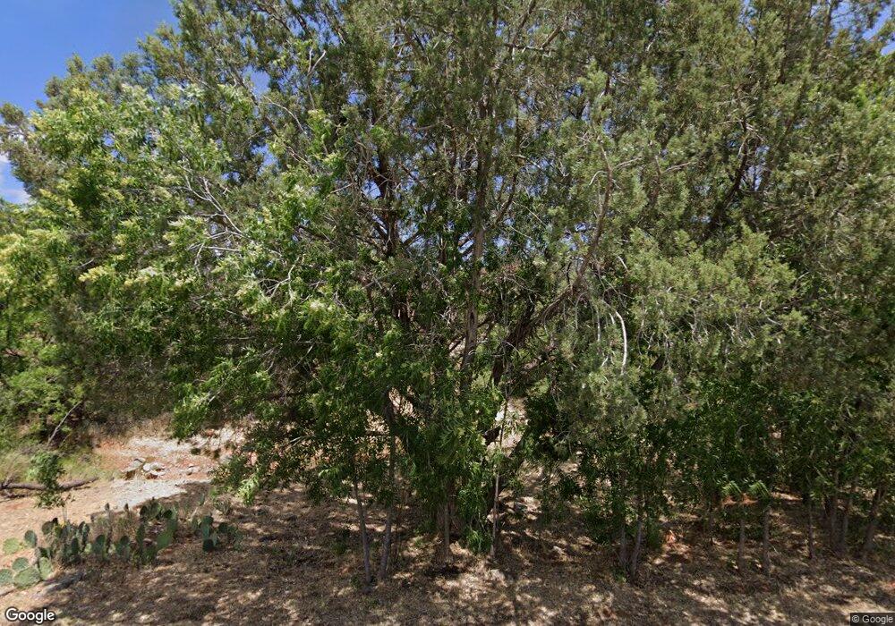
130 Pinto Ln Sedona, AZ 86351
Village of Oak Creek (Big Park) NeighborhoodEstimated Value: $680,855 - $843,000
--
Bed
--
Bath
1,760
Sq Ft
$440/Sq Ft
Est. Value
About This Home
This home is located at 130 Pinto Ln, Sedona, AZ 86351 and is currently estimated at $774,464, approximately $440 per square foot. 130 Pinto Ln is a home located in Yavapai County with nearby schools including Sedona Red Rock Junior/Senior High School.
Ownership History
Date
Name
Owned For
Owner Type
Purchase Details
Closed on
Oct 31, 2007
Sold by
Keer Dennis E
Bought by
Keer Dennis E and Keer Survivors Trust
Current Estimated Value
Purchase Details
Closed on
Sep 22, 2004
Sold by
Keer Dennis E and Young Ruth Ann
Bought by
Keer Dennis E and Young Ruth A
Purchase Details
Closed on
Mar 3, 1997
Sold by
Keer Dennis E and Young Ruth Ann
Bought by
Keer Dennis E and Young Ruth Ann
Purchase Details
Closed on
Jan 28, 1994
Sold by
Newton Haril W and Newton Anita L
Bought by
Keer Dennis E and Young Ruth Ann
Home Financials for this Owner
Home Financials are based on the most recent Mortgage that was taken out on this home.
Original Mortgage
$124,000
Interest Rate
7.24%
Create a Home Valuation Report for This Property
The Home Valuation Report is an in-depth analysis detailing your home's value as well as a comparison with similar homes in the area
Home Values in the Area
Average Home Value in this Area
Purchase History
| Date | Buyer | Sale Price | Title Company |
|---|---|---|---|
| Keer Dennis E | -- | None Available | |
| Keer Dennis E | -- | -- | |
| Keer Dennis E | -- | Ati Title Agency | |
| Keer Dennis E | $155,000 | First American Title Ins Co |
Source: Public Records
Mortgage History
| Date | Status | Borrower | Loan Amount |
|---|---|---|---|
| Closed | Keer Dennis E | $124,000 |
Source: Public Records
Tax History Compared to Growth
Tax History
| Year | Tax Paid | Tax Assessment Tax Assessment Total Assessment is a certain percentage of the fair market value that is determined by local assessors to be the total taxable value of land and additions on the property. | Land | Improvement |
|---|---|---|---|---|
| 2026 | $3,014 | $62,526 | -- | -- |
| 2024 | $2,876 | $60,888 | -- | -- |
| 2023 | $2,929 | $47,959 | $21,346 | $26,613 |
| 2022 | $2,876 | $36,670 | $16,261 | $20,409 |
| 2021 | $2,918 | $34,811 | $13,976 | $20,835 |
| 2020 | $2,918 | $0 | $0 | $0 |
| 2019 | $2,889 | $0 | $0 | $0 |
| 2018 | $2,758 | $0 | $0 | $0 |
| 2017 | $2,703 | $0 | $0 | $0 |
| 2016 | $2,667 | $0 | $0 | $0 |
| 2015 | -- | $0 | $0 | $0 |
| 2014 | -- | $0 | $0 | $0 |
Source: Public Records
Map
Nearby Homes
- 40 Eastern Vista S
- 170 E Bighorn Ct
- 130 E Bighorn Ct
- 120 Appaloosa Dr
- 722 Crown Ridge Rd
- 130 Diamond Sky Dr Unit 4
- 100 W Bighorn Ct
- 35 Bent Tree Ct
- 295 Arabian Dr
- 669 Crown Ridge Rd
- 50 Crystal Sky Dr
- 175 Arabian Dr
- 65 Crystal Sky Dr
- 168 E Tonto Dr
- 26 Rim Trail Cir Unit 50
- 30 Red Fox Ln
- 49 Rim Trail Cir Unit 58
- 30 Paraiso Corte
- 86 Ridge Rock Rd
- 100 Kaibab Way
