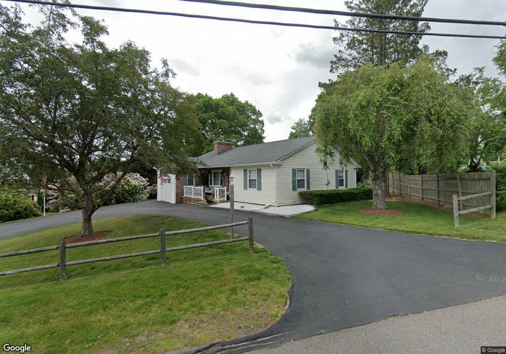
130 Quinapoxet Ln Worcester, MA 01606
Burncoat NeighborhoodEstimated Value: $422,000 - $462,000
2
Beds
2
Baths
1,284
Sq Ft
$346/Sq Ft
Est. Value
About This Home
This home is located at 130 Quinapoxet Ln, Worcester, MA 01606 and is currently estimated at $444,190, approximately $345 per square foot. 130 Quinapoxet Ln is a home located in Worcester County with nearby schools including Belmont Street Community School, Jacob Hiatt Magnet School, and Chandler Magnet.
Ownership History
Date
Name
Owned For
Owner Type
Purchase Details
Closed on
Jun 27, 1996
Sold by
Gustafson Elise M
Bought by
Ward Timothy D and Ward Linda
Current Estimated Value
Home Financials for this Owner
Home Financials are based on the most recent Mortgage that was taken out on this home.
Original Mortgage
$95,000
Interest Rate
8.05%
Mortgage Type
Purchase Money Mortgage
Create a Home Valuation Report for This Property
The Home Valuation Report is an in-depth analysis detailing your home's value as well as a comparison with similar homes in the area
Home Values in the Area
Average Home Value in this Area
Purchase History
| Date | Buyer | Sale Price | Title Company |
|---|---|---|---|
| Ward Timothy D | $101,500 | -- |
Source: Public Records
Mortgage History
| Date | Status | Borrower | Loan Amount |
|---|---|---|---|
| Open | Ward Timothy D | $93,700 | |
| Closed | Ward Timothy D | $95,000 |
Source: Public Records
Tax History Compared to Growth
Tax History
| Year | Tax Paid | Tax Assessment Tax Assessment Total Assessment is a certain percentage of the fair market value that is determined by local assessors to be the total taxable value of land and additions on the property. | Land | Improvement |
|---|---|---|---|---|
| 2025 | $5,085 | $385,500 | $119,100 | $266,400 |
| 2024 | $4,987 | $362,700 | $119,100 | $243,600 |
| 2023 | $4,831 | $336,900 | $103,500 | $233,400 |
| 2022 | $4,307 | $283,200 | $82,800 | $200,400 |
| 2021 | $4,342 | $266,700 | $66,300 | $200,400 |
| 2020 | $4,172 | $245,400 | $66,200 | $179,200 |
| 2019 | $3,920 | $217,800 | $59,800 | $158,000 |
| 2018 | $3,808 | $201,400 | $59,800 | $141,600 |
| 2017 | $3,871 | $201,400 | $59,800 | $141,600 |
| 2016 | $3,821 | $185,400 | $44,700 | $140,700 |
| 2015 | $3,721 | $185,400 | $44,700 | $140,700 |
| 2014 | $3,623 | $185,400 | $44,700 | $140,700 |
Source: Public Records
Map
Nearby Homes
- 95 Saint Nicholas Ave
- 2 Maria Ln Unit 2
- 15 Inwood Rd
- 31 Enaya Cir Unit 31
- 13 Fatima Ln
- 49 E Mountain St
- 29 E Mountain
- 40 Francis St
- 276 Saint Nicholas Ave
- 18 Claffey Ave
- 3 Granville Ave
- 304 Saint Nicholas Ave
- 113 Bay State Rd
- 28 Brooks St
- 134 Whitmarsh Ave
- 2206 Halcyon Dr Unit 2206
- 120 Bay State Rd
- 12 Dixfield Rd
- 10 Beale St
- 71 Hillside Village Dr
- 120 Quinapoxet Ln
- 2 Prudential Rd
- 72 Garrison Ave
- 123 Quinapoxet Ln
- 70 Garrison Ave
- 127 Quinapoxet Ln
- 8 Prudential Rd
- Lot1 Prudential Rd
- 131 Quinapoxet Ln
- 136 Quinapoxet Ln
- 67 Garrison Ave
- 68 Oneida Ave
- 68 Garrison Ave
- 137 Quinapoxet Ln
- 1 Prudential Rd
- 116 Quinapoxet Ln
- 65 Garrison Ave
- 113 Quinapoxet Ln
- 64 Oneida Ave
- 66 Garrison Ave