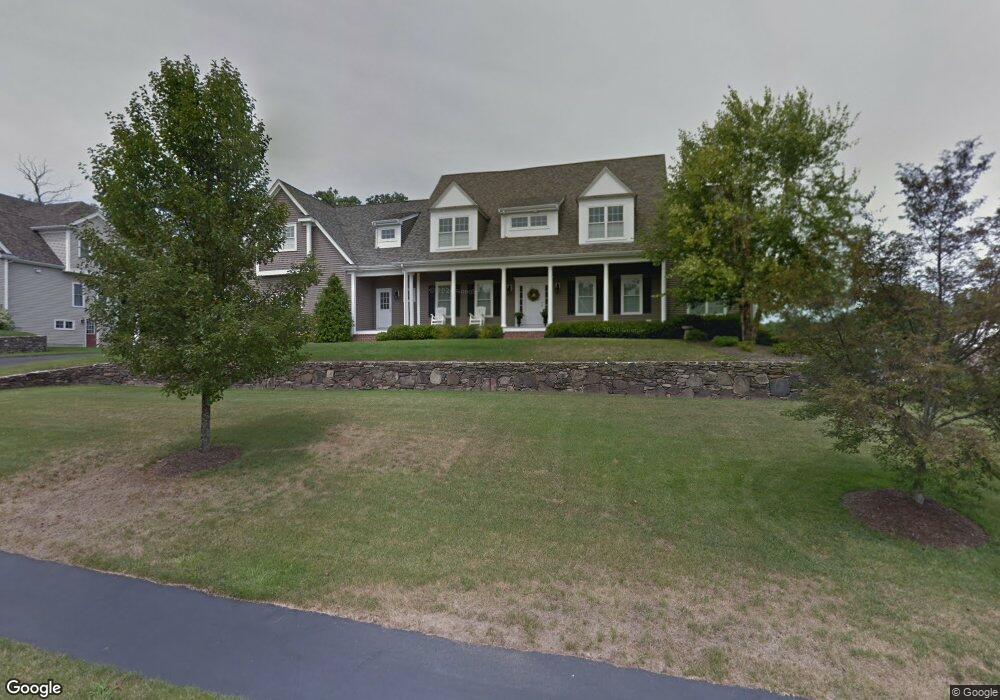
130 Riverside Dr Wrentham, MA 02093
Estimated Value: $1,118,876 - $1,645,000
4
Beds
4
Baths
3,241
Sq Ft
$406/Sq Ft
Est. Value
About This Home
This home is located at 130 Riverside Dr, Wrentham, MA 02093 and is currently estimated at $1,314,719, approximately $405 per square foot. 130 Riverside Dr is a home located in Norfolk County with nearby schools including Delaney Elementary School and Charles E Roderick.
Ownership History
Date
Name
Owned For
Owner Type
Purchase Details
Closed on
Dec 15, 2005
Sold by
Diplacido Dev Corp
Bought by
Greenwald Jonathan D and Greenwald Susan D
Current Estimated Value
Home Financials for this Owner
Home Financials are based on the most recent Mortgage that was taken out on this home.
Original Mortgage
$359,300
Outstanding Balance
$196,918
Interest Rate
6.34%
Mortgage Type
Purchase Money Mortgage
Estimated Equity
$1,117,801
Purchase Details
Closed on
Mar 9, 2005
Sold by
Smlorusso & Sons Inc
Bought by
Diplacido Dev Corp
Home Financials for this Owner
Home Financials are based on the most recent Mortgage that was taken out on this home.
Original Mortgage
$500,000
Interest Rate
5.64%
Mortgage Type
Purchase Money Mortgage
Create a Home Valuation Report for This Property
The Home Valuation Report is an in-depth analysis detailing your home's value as well as a comparison with similar homes in the area
Purchase History
| Date | Buyer | Sale Price | Title Company |
|---|---|---|---|
| Greenwald Jonathan D | $859,327 | -- | |
| Diplacido Dev Corp | $240,000 | -- |
Source: Public Records
Mortgage History
| Date | Status | Borrower | Loan Amount |
|---|---|---|---|
| Open | Greenwald Jonathan D | $359,300 | |
| Previous Owner | Diplacido Dev Corp | $500,000 |
Source: Public Records
Tax History
| Year | Tax Paid | Tax Assessment Tax Assessment Total Assessment is a certain percentage of the fair market value that is determined by local assessors to be the total taxable value of land and additions on the property. | Land | Improvement |
|---|---|---|---|---|
| 2025 | $11,822 | $1,020,000 | $316,700 | $703,300 |
| 2024 | $11,228 | $935,700 | $316,700 | $619,000 |
| 2023 | $11,412 | $904,300 | $287,800 | $616,500 |
| 2022 | $10,708 | $783,300 | $261,600 | $521,700 |
| 2021 | $10,651 | $757,000 | $261,600 | $495,400 |
| 2020 | $12,500 | $877,200 | $215,100 | $662,100 |
| 2019 | $11,902 | $842,900 | $215,100 | $627,800 |
| 2018 | $10,370 | $728,200 | $215,300 | $512,900 |
| 2017 | $10,284 | $721,700 | $211,200 | $510,500 |
| 2016 | $10,157 | $711,300 | $205,100 | $506,200 |
| 2015 | $10,291 | $687,000 | $197,100 | $489,900 |
| 2014 | $10,203 | $666,400 | $189,600 | $476,800 |
Source: Public Records
Map
Nearby Homes
- 10 Earle Stewart Ln Unit Lot 5
- 12 Earle Stewart Ln
- 2 Earle Stewart Ln
- 3 Earle Stewart Ln
- 500 Franklin St
- 440 Chestnut St
- 10 Nature View Dr
- 15 Nature View Dr
- 613 West St
- 1222 South St
- 955 Summer St
- 287 Park St
- 50 Reed Fulton Ave Unit Lot 61
- 0 Fall Ln
- 0 Berry St
- 18 Huntington Ave
- 20 Field Cir
- 19 Chestnut Lot 0
- 75 Jordan Rd
- 3 Oak View Terrace Unit 3
- 185 Riverside Dr
- 140 Riverside Dr
- 15 Pokanoket Path
- 5 Pokanoket Path
- 195 Riverside Dr
- 175 Riverside Dr
- 165 Riverside Dr
- 25 Pokanoket Path
- 205 Riverside Dr
- 124 Riverside Dr
- 150 Riverside Dr
- 155 Riverside Dr
- 35 Pokanoket Path
- 30 Pokanoket Path
- 55 Pokanoket Path
- 40 Pokanoket Path
- 145 Riverside Dr
- 120 Riverside Dr
- 65 Pokanoket Path
- 135 Riverside Dr
Your Personal Tour Guide
Ask me questions while you tour the home.