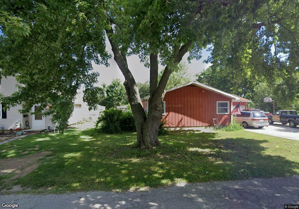
130 Rock St Fostoria, OH 44830
Estimated Value: $10,425 - $111,000
2
Beds
1
Bath
1,320
Sq Ft
$35/Sq Ft
Est. Value
About This Home
This home is located at 130 Rock St, Fostoria, OH 44830 and is currently estimated at $45,856, approximately $34 per square foot. 130 Rock St is a home located in Seneca County with nearby schools including Fostoria Intermediate Elementary School and Fostoria Junior/Senior High School.
Ownership History
Date
Name
Owned For
Owner Type
Purchase Details
Closed on
Oct 13, 2023
Sold by
Cook Ashley Lynn
Bought by
Arana Miguel
Current Estimated Value
Purchase Details
Closed on
Dec 30, 2020
Sold by
Sencea County Land Reutilization Corp
Bought by
Cook Ashley Lynn
Purchase Details
Closed on
Mar 19, 2019
Sold by
Daniels Brenda C and Alt Damon D
Bought by
Seneca County Land Reutilization Corp
Purchase Details
Closed on
Feb 12, 2015
Sold by
Hahn Phyllis I
Bought by
Daniels Brenda C
Create a Home Valuation Report for This Property
The Home Valuation Report is an in-depth analysis detailing your home's value as well as a comparison with similar homes in the area
Home Values in the Area
Average Home Value in this Area
Purchase History
| Date | Buyer | Sale Price | Title Company |
|---|---|---|---|
| Arana Miguel | $9,000 | Golden Key Title | |
| Cook Ashley Lynn | -- | Assured Title | |
| Seneca County Land Reutilization Corp | -- | None Available | |
| Daniels Brenda C | $8,000 | Attorney |
Source: Public Records
Mortgage History
| Date | Status | Borrower | Loan Amount |
|---|---|---|---|
| Previous Owner | Seneca County Land Reutilization Corp | $25,000 | |
| Previous Owner | Seneca County Land Reutillization Corp | $0 |
Source: Public Records
Tax History Compared to Growth
Tax History
| Year | Tax Paid | Tax Assessment Tax Assessment Total Assessment is a certain percentage of the fair market value that is determined by local assessors to be the total taxable value of land and additions on the property. | Land | Improvement |
|---|---|---|---|---|
| 2024 | $162 | $3,140 | $3,140 | $0 |
| 2023 | $344 | $3,140 | $3,140 | $0 |
| 2022 | $157 | $2,510 | $2,510 | $0 |
| 2021 | $93 | $2,510 | $2,510 | $0 |
| 2020 | $93 | $2,513 | $2,513 | $0 |
| 2019 | $93 | $9,986 | $2,513 | $7,473 |
| 2018 | $911 | $9,986 | $2,513 | $7,473 |
| 2017 | $664 | $9,986 | $2,513 | $7,473 |
| 2016 | $542 | $9,920 | $2,622 | $7,298 |
| 2015 | $560 | $9,920 | $2,622 | $7,298 |
| 2014 | $494 | $9,920 | $2,622 | $7,298 |
| 2013 | $581 | $10,784 | $2,849 | $7,935 |
Source: Public Records
Map
Nearby Homes
- 1324 N Union St
- 375 Thomas St
- 900 N Countyline St
- 931 N Union St
- 892 N Countyline St
- 633 Maple St
- 827 Buckley St
- 723 N Union St
- 901 Central Ave
- 727 Eisenhower Dr
- 540 N Poplar St
- 520 N Union St
- 711 Circle Dr
- 220 E High St
- 481 Beverly Dr
- 203 N Union St
- 509 College Ave
- 412 E Center St
- 0 W South Route 12
- 348 W South St