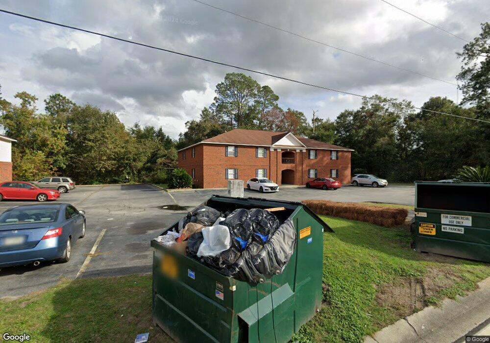
130 Rolland St Hinesville, GA 31313
Estimated Value: $367,000
--
Bed
--
Bath
2,048
Sq Ft
$179/Sq Ft
Est. Value
About This Home
This home is located at 130 Rolland St, Hinesville, GA 31313 and is currently priced at $367,000, approximately $179 per square foot. 130 Rolland St is a home located in Liberty County with nearby schools including Button Gwinnett Elementary School, Snelson-Golden Middle School, and Bradwell Institute.
Ownership History
Date
Name
Owned For
Owner Type
Purchase Details
Closed on
May 17, 2022
Sold by
Seale Misty Mae
Bought by
Seale Misty Mae and Seale Hui Yon
Current Estimated Value
Purchase Details
Closed on
Apr 6, 2022
Sold by
Seale Sung
Bought by
Seale Sung and Seale Hui Yon
Purchase Details
Closed on
Jan 15, 2004
Sold by
Nottingham Robert D
Bought by
Seale Hui Yon and Seale Lester
Purchase Details
Closed on
Apr 22, 1969
Bought by
Nottingham Robert
Create a Home Valuation Report for This Property
The Home Valuation Report is an in-depth analysis detailing your home's value as well as a comparison with similar homes in the area
Home Values in the Area
Average Home Value in this Area
Purchase History
| Date | Buyer | Sale Price | Title Company |
|---|---|---|---|
| Seale Misty Mae | -- | -- | |
| Seale Sung | -- | -- | |
| Seale Hui Yon | $140,000 | -- | |
| Nottingham Robert | -- | -- |
Source: Public Records
Tax History Compared to Growth
Tax History
| Year | Tax Paid | Tax Assessment Tax Assessment Total Assessment is a certain percentage of the fair market value that is determined by local assessors to be the total taxable value of land and additions on the property. | Land | Improvement |
|---|---|---|---|---|
| 2024 | $3,251 | $66,596 | $8,320 | $58,276 |
| 2023 | $3,251 | $69,968 | $8,320 | $61,648 |
| 2022 | $2,670 | $57,803 | $8,320 | $49,483 |
| 2021 | $3,006 | $63,893 | $8,320 | $55,573 |
| 2020 | $3,036 | $63,916 | $8,320 | $55,596 |
| 2019 | $2,997 | $63,585 | $6,240 | $57,345 |
| 2018 | $3,063 | $65,334 | $6,240 | $59,094 |
| 2017 | $2,209 | $67,084 | $6,240 | $60,844 |
| 2016 | $2,729 | $68,833 | $6,240 | $62,593 |
| 2015 | $3,544 | $68,833 | $6,240 | $62,593 |
| 2014 | $3,544 | $78,510 | $6,240 | $72,270 |
| 2013 | -- | $76,129 | $6,240 | $69,889 |
Source: Public Records
Map
Nearby Homes
- 76 Boundary Hall Way
- 86 Boundary Hall Way
- 64 Boundary Hall Way
- 128 Boundary Hall Way
- 215 Collins Ln
- 215 Collins Ln Unit A
- 1238 Grayson Ave
- 1277 Grayson Ave
- 608 Madison Dr
- 125 Stafford St
- 4 Lots Memorial Dr
- 203 Monroe Ave
- 505 Franklin St
- 108 Cherrydale St
- 509 Franklin St
- 617 Pineview Ct
- 103 Stewart Terrace
- 822 Lost Grove Ln
- 125 Rolland St
- 123 Rolland St
- 127 Rolland St
- 121 Rolland St
- 129 Rolland St
- 119 Rolland St
- 119 Rolland St
- 117 Rolland St
- 113 Rolland St
- 111 Rolland St
- 107 Rolland St
- 133 Rolland St Unit 22
- 133 Rolland St
- 103 Rolland St
- 101 Rolland St
- 135 Rolland St Unit 26
- 135 Rolland St
- 102 Griffin St
- 126 Rolland St
- 104 Griffin St