130 Root Ln Staunton, VA 24401
Estimated Value: $568,000 - $887,000
2
Beds
4
Baths
2,360
Sq Ft
$328/Sq Ft
Est. Value
About This Home
This home is located at 130 Root Ln, Staunton, VA 24401 and is currently estimated at $774,822, approximately $328 per square foot. 130 Root Ln is a home located in Augusta County with nearby schools including Verona Elementary School, Edward G. Clymore Elementary School, and S. Gordon Stewart Middle School.
Ownership History
Date
Name
Owned For
Owner Type
Purchase Details
Closed on
Nov 30, 2023
Sold by
Lofton Leasing Llc
Bought by
Root Franklin L
Current Estimated Value
Purchase Details
Closed on
Dec 30, 2015
Sold by
Lofton Leasing Llc A Virginia Limited Li
Bought by
Rott Franklin L and Rott Christine W
Home Financials for this Owner
Home Financials are based on the most recent Mortgage that was taken out on this home.
Original Mortgage
$159,700
Interest Rate
3.96%
Mortgage Type
New Conventional
Create a Home Valuation Report for This Property
The Home Valuation Report is an in-depth analysis detailing your home's value as well as a comparison with similar homes in the area
Home Values in the Area
Average Home Value in this Area
Purchase History
| Date | Buyer | Sale Price | Title Company |
|---|---|---|---|
| Root Franklin L | -- | None Listed On Document | |
| Rott Franklin L | $232,900 | Countryside Service Company |
Source: Public Records
Mortgage History
| Date | Status | Borrower | Loan Amount |
|---|---|---|---|
| Previous Owner | Rott Franklin L | $159,700 |
Source: Public Records
Tax History Compared to Growth
Tax History
| Year | Tax Paid | Tax Assessment Tax Assessment Total Assessment is a certain percentage of the fair market value that is determined by local assessors to be the total taxable value of land and additions on the property. | Land | Improvement |
|---|---|---|---|---|
| 2025 | $3,333 | $776,100 | $208,900 | $567,200 |
| 2024 | $3,333 | $776,100 | $208,900 | $567,200 |
| 2023 | $3,113 | $604,889 | $192,000 | $412,889 |
| 2022 | $3,113 | $604,889 | $192,000 | $412,889 |
| 2021 | $3,113 | $604,929 | $192,040 | $412,889 |
| 2020 | $3,113 | $604,900 | $192,000 | $412,900 |
| 2019 | $3,113 | $604,900 | $192,000 | $412,900 |
| 2018 | $2,877 | $570,701 | $192,000 | $378,701 |
| 2017 | $2,648 | $570,701 | $192,000 | $378,701 |
| 2016 | $2,648 | $570,701 | $192,000 | $378,701 |
| 2015 | $2,174 | $570,701 | $192,000 | $378,701 |
| 2014 | $2,174 | $570,701 | $192,000 | $378,701 |
| 2013 | $2,174 | $570,100 | $182,000 | $388,100 |
Source: Public Records
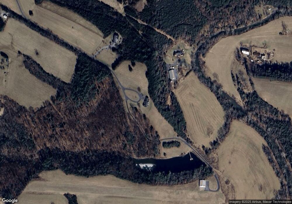
Map
Nearby Homes
- 27 Bingham St
- 6 Bingham St
- 16 Kelford St
- 43 Niswander Rd
- 713 Saint James Rd
- 49 Hillandale Dr
- Lot 37a Rife's Ford Rd
- Lot 75b Rife's Ford Rd
- Lot 37a1 Rife's Ford Rd
- Lot 37j Rife's Ford Rd
- Lot 10g Rife's Ford Rd
- Lot 37k Rife's Ford Rd
- Lot 75d Rife's Ford Rd
- 2106 Laurel Hill Rd
- tbd Granary Rd
- 0 Mill Race Rd Unit 646067
- tbd2 Augusta St
- 891 Bells Ln
- 248 Skyview Cir
- TBD Earhart Ln
- 515 Pleasant Grove Rd
- 98 Root Ln
- 2370 Barrenridge Rd
- 413 Pleasant Grove Rd
- 437 Pleasant Grove Rd
- 439 Pleasant Grove Rd
- 389 Pleasant Grove Rd
- 481 Pleasant Grove Rd
- 573 Pleasant Grove Rd
- 583 Pleasant Grove Rd
- 460 Pleasant Grove Rd
- 536 Pleasant Grove Rd
- 546 Pleasant Grove Rd
- 325 Pleasant Grove Rd
- 526 Pleasant Grove Rd
- 510 Pleasant Grove Rd
- 591 Pleasant Grove Rd
- 500 Pleasant Grove Rd
- 488 Pleasant Grove Rd
- 574 Pleasant Grove Rd