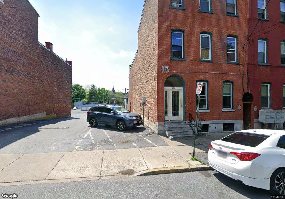
130 S Queen St Lancaster, PA 17603
Downtown Lancaster Neighborhood
--
Bed
--
Bath
2,975
Sq Ft
2,614
Sq Ft Lot
About This Home
This home is located at 130 S Queen St, Lancaster, PA 17603. 130 S Queen St is a home located in Lancaster County with nearby schools including Carter & MacRae Elementary School, Reynolds Middle School, and McCaskey High School.
Ownership History
Date
Name
Owned For
Owner Type
Purchase Details
Closed on
May 27, 2020
Sold by
Neff J Gary
Bought by
South Queen St Holdings Llc
Home Financials for this Owner
Home Financials are based on the most recent Mortgage that was taken out on this home.
Original Mortgage
$1,424,000
Outstanding Balance
$1,264,620
Interest Rate
3.3%
Mortgage Type
Future Advance Clause Open End Mortgage
Purchase Details
Closed on
Apr 3, 1997
Bought by
Neff J Gary
Create a Home Valuation Report for This Property
The Home Valuation Report is an in-depth analysis detailing your home's value as well as a comparison with similar homes in the area
Home Values in the Area
Average Home Value in this Area
Purchase History
| Date | Buyer | Sale Price | Title Company |
|---|---|---|---|
| South Queen St Holdings Llc | -- | None Available | |
| Neff J Gary | $65,000 | -- |
Source: Public Records
Mortgage History
| Date | Status | Borrower | Loan Amount |
|---|---|---|---|
| Open | South Queen St Holdings Llc | $1,424,000 |
Source: Public Records
Tax History Compared to Growth
Tax History
| Year | Tax Paid | Tax Assessment Tax Assessment Total Assessment is a certain percentage of the fair market value that is determined by local assessors to be the total taxable value of land and additions on the property. | Land | Improvement |
|---|---|---|---|---|
| 2025 | $5,061 | $127,900 | $65,600 | $62,300 |
| 2024 | $5,061 | $127,900 | $65,600 | $62,300 |
| 2023 | $4,976 | $127,900 | $65,600 | $62,300 |
| 2022 | $4,769 | $127,900 | $65,600 | $62,300 |
| 2021 | $4,666 | $127,900 | $65,600 | $62,300 |
| 2020 | $4,666 | $127,900 | $65,600 | $62,300 |
| 2019 | $4,597 | $127,900 | $65,600 | $62,300 |
| 2018 | $2,728 | $127,900 | $65,600 | $62,300 |
| 2017 | $4,203 | $91,500 | $23,600 | $67,900 |
| 2016 | $4,164 | $91,500 | $23,600 | $67,900 |
| 2015 | $1,625 | $91,500 | $23,600 | $67,900 |
| 2014 | $3,634 | $91,500 | $23,600 | $67,900 |
Source: Public Records
Map
Nearby Homes
- 14 E Farnum St
- 114 S Prince St
- 316 Beaver St
- 513 Howard Ave
- 14 S Queen St
- 217 W Vine St
- 507 Locust St
- 341 S Prince St
- 442 Fremont St
- 348 S Prince St
- 458 Poplar St
- 462 S Christian St
- 410 W Vine St
- 471 Saint Joseph St
- 520 S Duke St
- 513 Poplar St
- 26 W Strawberry St
- 101 N Queen St Unit 414
- 101 N Queen St Unit 407
- 101 N Queen St Unit 412
- 128 S Queen St
- 126 S Queen St
- 124 S Queen St
- 134 S Queen St
- 134 S Queen St Unit 3
- 136 S Queen St Unit 3
- 136 S Queen St
- 122 S Queen St
- 140 S Queen St
- 140 S Queen St Unit 4B
- 140 S Queen St Unit 1
- 140 S Queen St Unit 2
- 140 S Queen St Unit 5B
- 140 S Queen St Unit 5-A
- 140 S Queen St Unit 4-A
- 120 S Queen St
- 142 S Queen St Unit 2
- 142 S Queen St
- 142 S Queen St Unit 5
- 118 S Queen St