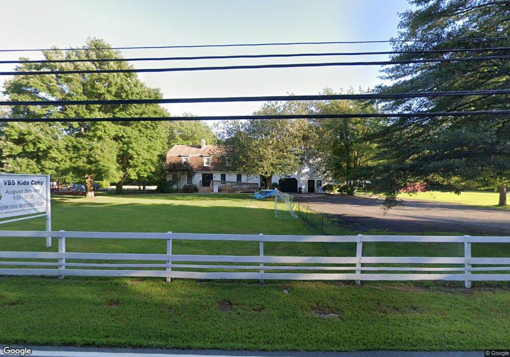
130 Sharp Hill Rd Uncasville, CT 06382
Oxoboxo River NeighborhoodEstimated Value: $471,000 - $637,000
3
Beds
2
Baths
5,204
Sq Ft
$106/Sq Ft
Est. Value
About This Home
This home is located at 130 Sharp Hill Rd, Uncasville, CT 06382 and is currently estimated at $552,504, approximately $106 per square foot. 130 Sharp Hill Rd is a home with nearby schools including Leonard J. Tyl Middle School, Montville High School, and Bradley School-New London Regional.
Ownership History
Date
Name
Owned For
Owner Type
Purchase Details
Closed on
May 12, 1989
Sold by
Mrowka Doreen
Bought by
Butler Paul
Current Estimated Value
Home Financials for this Owner
Home Financials are based on the most recent Mortgage that was taken out on this home.
Original Mortgage
$224,000
Interest Rate
11.14%
Mortgage Type
Commercial
Purchase Details
Closed on
Aug 26, 1988
Sold by
Hoffman Tr Martin
Bought by
Mrowka Thomas Venture
Home Financials for this Owner
Home Financials are based on the most recent Mortgage that was taken out on this home.
Original Mortgage
$80,000
Interest Rate
10.36%
Mortgage Type
Commercial
Create a Home Valuation Report for This Property
The Home Valuation Report is an in-depth analysis detailing your home's value as well as a comparison with similar homes in the area
Home Values in the Area
Average Home Value in this Area
Purchase History
| Date | Buyer | Sale Price | Title Company |
|---|---|---|---|
| Butler Paul | $280,000 | -- | |
| Mrowka Thomas Venture | $200,000 | -- |
Source: Public Records
Mortgage History
| Date | Status | Borrower | Loan Amount |
|---|---|---|---|
| Closed | Mrowka Thomas Venture | $30,000 | |
| Closed | Mrowka Thomas Venture | $224,000 | |
| Previous Owner | Mrowka Thomas Venture | $80,000 |
Source: Public Records
Tax History Compared to Growth
Tax History
| Year | Tax Paid | Tax Assessment Tax Assessment Total Assessment is a certain percentage of the fair market value that is determined by local assessors to be the total taxable value of land and additions on the property. | Land | Improvement |
|---|---|---|---|---|
| 2025 | $10,119 | $350,490 | $40,250 | $310,240 |
| 2024 | $9,733 | $350,490 | $40,250 | $310,240 |
| 2023 | $9,733 | $350,490 | $40,250 | $310,240 |
| 2022 | $9,362 | $350,490 | $40,250 | $310,240 |
| 2021 | $11,608 | $365,620 | $46,570 | $319,050 |
| 2020 | $11,839 | $365,620 | $46,570 | $319,050 |
| 2019 | $0 | $365,620 | $46,570 | $319,050 |
| 2018 | $0 | $365,620 | $46,570 | $319,050 |
| 2017 | $0 | $365,620 | $46,570 | $319,050 |
| 2016 | $370 | $352,620 | $47,540 | $305,080 |
| 2015 | $364 | $352,620 | $47,540 | $305,080 |
| 2014 | $358 | $352,620 | $47,540 | $305,080 |
Source: Public Records
Map
Nearby Homes
- 727 Old Colchester Rd
- 320 Maple Ave
- 49 Cottonwood Ln
- 270 Gay Hill Rd
- 79 Cottonwood Ln
- 523 Route 163
- 0 Monahan Dr
- 45 Lynch Hill Rd
- 1 High Ridge Cir
- 5 Mountain Laurel Ridge
- 2 Mountain Laurel Ridge
- 19 Wyndwood Rd
- 22 Heather Brook Rd
- 57 Roselund Hill Rd
- 82C Pires Dr
- 10 Marcia Dr
- 995 Old Colchester Rd
- 10 Gutterman Rd
- 1084 E Lake Rd
- 170 Raymond Hill Rd
- 138 Sharp Hill Rd
- 131 Sharp Hill Rd
- 128 Sharp Hill Rd
- 145 Sharp Hill Rd
- 116 Sharp Hill Rd
- 154 Sharp Hill Rd
- 119 Sharp Hill Rd
- 153 Sharp Hill Rd
- 112 Sharp Hill Rd
- 113 Sharp Hill Rd
- 609 Old Colchester Rd
- 601 Old Colchester Rd
- 597 Old Colchester Rd
- 617 Old Colchester Rd
- 633 Old Colchester Rd
- 109 Sharp Hill Rd
- 623 Old Colchester Rd
- 102 Sharp Hill Rd
- 589 Old Colchester Rd
- 135 Sharp Hill Rd