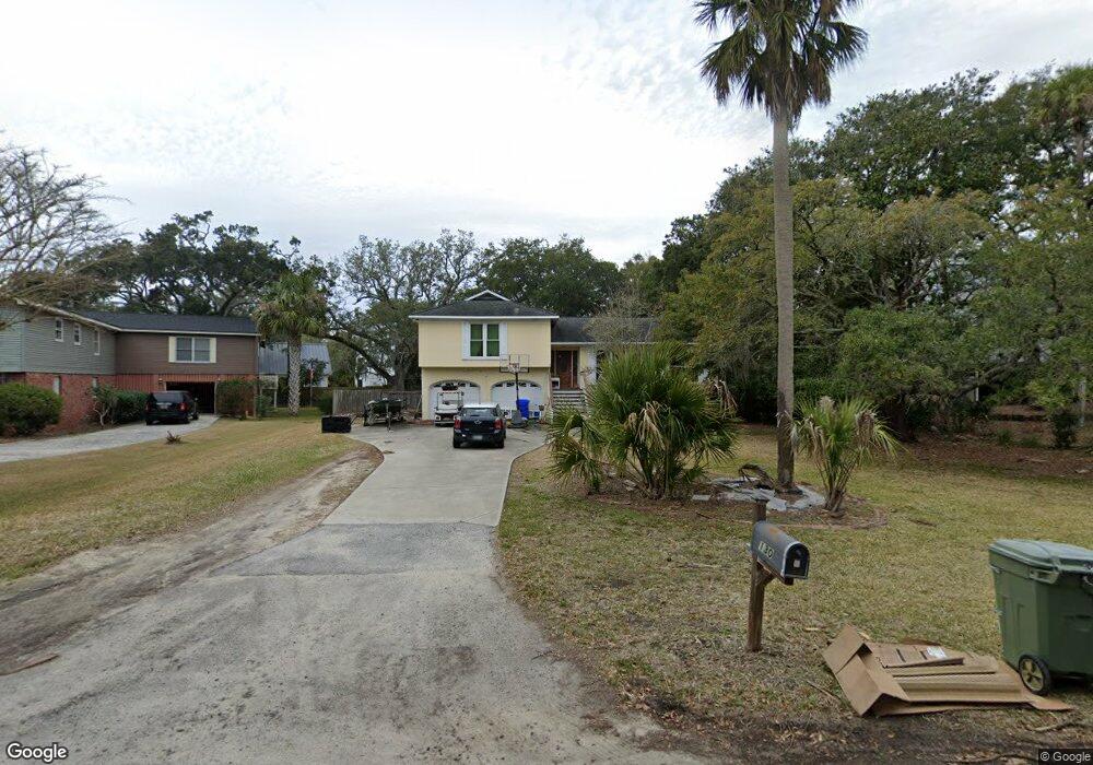
130 Sparrow Dr Isle of Palms, SC 29451
Estimated Value: $1,663,000 - $1,796,000
3
Beds
2
Baths
1,778
Sq Ft
$966/Sq Ft
Est. Value
About This Home
This home is located at 130 Sparrow Dr, Isle of Palms, SC 29451 and is currently estimated at $1,717,352, approximately $965 per square foot. 130 Sparrow Dr is a home located in Charleston County with nearby schools including Sullivans Island Elementary School, Moultrie Middle School, and Wando High School.
Ownership History
Date
Name
Owned For
Owner Type
Purchase Details
Closed on
Jan 31, 2011
Sold by
Smith Wilfred A and Smith Margaret T
Bought by
Blaszczak David B and Blaszczak Jessica L
Current Estimated Value
Home Financials for this Owner
Home Financials are based on the most recent Mortgage that was taken out on this home.
Original Mortgage
$312,750
Outstanding Balance
$214,109
Interest Rate
4.79%
Mortgage Type
New Conventional
Estimated Equity
$1,503,243
Purchase Details
Closed on
Sep 17, 2001
Sold by
Crowson Crowson Louis S
Bought by
Smith Wilfred A and Smith Margaret T
Create a Home Valuation Report for This Property
The Home Valuation Report is an in-depth analysis detailing your home's value as well as a comparison with similar homes in the area
Home Values in the Area
Average Home Value in this Area
Purchase History
| Date | Buyer | Sale Price | Title Company |
|---|---|---|---|
| Blaszczak David B | $521,250 | -- | |
| Smith Wilfred A | $350,000 | -- |
Source: Public Records
Mortgage History
| Date | Status | Borrower | Loan Amount |
|---|---|---|---|
| Open | Blaszczak David B | $312,750 |
Source: Public Records
Tax History Compared to Growth
Tax History
| Year | Tax Paid | Tax Assessment Tax Assessment Total Assessment is a certain percentage of the fair market value that is determined by local assessors to be the total taxable value of land and additions on the property. | Land | Improvement |
|---|---|---|---|---|
| 2024 | $2,065 | $23,410 | $0 | $0 |
| 2023 | $1,940 | $23,410 | $0 | $0 |
| 2022 | $1,907 | $23,410 | $0 | $0 |
| 2021 | $2,041 | $23,410 | $0 | $0 |
| 2020 | $2,118 | $23,410 | $0 | $0 |
| 2019 | $1,902 | $20,360 | $0 | $0 |
| 2017 | $6,600 | $30,530 | $0 | $0 |
| 2016 | $6,338 | $30,530 | $0 | $0 |
| 2015 | $6,033 | $30,530 | $0 | $0 |
| 2014 | $5,981 | $0 | $0 | $0 |
| 2011 | -- | $0 | $0 | $0 |
Source: Public Records
Map
Nearby Homes
- 105 Forest Trail
- 257 Forest Trail
- 3402 Hartnett Blvd
- 3 38th Ave
- 3802 Cameron Blvd
- 32 41st Ave
- 4005 Cameron Blvd
- 6 Frank Sottile Ln
- 40 41st Ave Unit E 14
- 40 41st Ave Unit D18
- 40 41st Ave Unit D-23 D-24
- 3301 Palm Blvd
- 3105 Palm Blvd
- 3007 Hartnett Blvd
- 5 Morgans Cove Ct
- 3002 Waterway Blvd
- 22 Morgans Cove Dr
- 3002 Cameron Blvd
- 1 44th Ave
- 2907 Waterway Blvd
- 128 Sparrow Dr
- 132 Sparrow Dr
- 105 Forest Trail
- 134 Sparrow Dr
- 137 Sparrow Dr
- 107 Forest Trail
- 3604 Waterway Blvd
- 139 Sparrow Dr
- 3602 Waterway Blvd
- 3606 Waterway Blvd
- 124 Sparrow Dr
- 103 Forest Trail
- 136 Sparrow Dr
- 253 Forest Trail
- 135 Sparrow Dr
- 3608 Waterway Blvd
- 2 Forest Trail Ct
- 141 Sparrow Dr
- 3600 Waterway Blvd
- 5 Forest Trail Ct