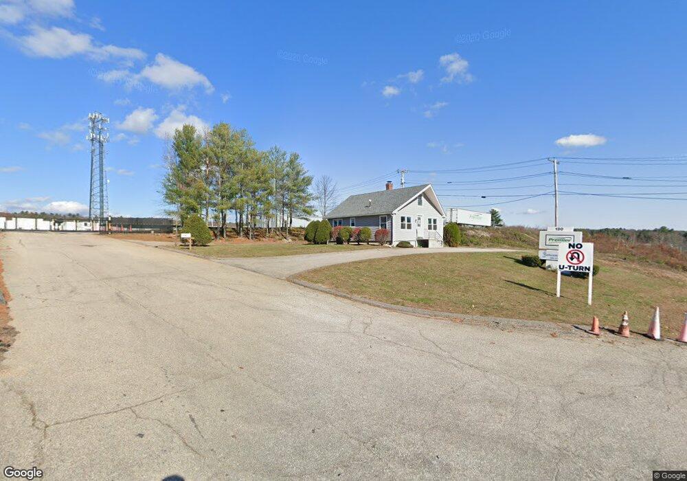
130 Sturbridge Rd Charlton, MA 01507
Estimated Value: $6,235,359
--
Bed
1
Bath
--
Sq Ft
45.59
Acres
About This Home
This home is located at 130 Sturbridge Rd, Charlton, MA 01507 and is currently estimated at $6,235,359. 130 Sturbridge Rd is a home located in Worcester County with nearby schools including Shepherd Hill Regional High School.
Ownership History
Date
Name
Owned For
Owner Type
Purchase Details
Closed on
Dec 26, 2023
Sold by
Jencent Llc
Bought by
Premier Trailers Llc
Current Estimated Value
Purchase Details
Closed on
Jul 31, 2001
Sold by
20 Charlton Rt and 20 Charlton Rt
Bought by
Jencent Llc
Home Financials for this Owner
Home Financials are based on the most recent Mortgage that was taken out on this home.
Original Mortgage
$1,440,000
Interest Rate
7.18%
Mortgage Type
Commercial
Create a Home Valuation Report for This Property
The Home Valuation Report is an in-depth analysis detailing your home's value as well as a comparison with similar homes in the area
Home Values in the Area
Average Home Value in this Area
Purchase History
| Date | Buyer | Sale Price | Title Company |
|---|---|---|---|
| Premier Trailers Llc | $5,500,000 | None Available | |
| Premier Trailers Llc | $5,500,000 | None Available | |
| Jencent Llc | $1,600,000 | -- | |
| Jencent Llc | $1,600,000 | -- |
Source: Public Records
Mortgage History
| Date | Status | Borrower | Loan Amount |
|---|---|---|---|
| Previous Owner | Jencent Llc | $1,440,000 |
Source: Public Records
Tax History Compared to Growth
Tax History
| Year | Tax Paid | Tax Assessment Tax Assessment Total Assessment is a certain percentage of the fair market value that is determined by local assessors to be the total taxable value of land and additions on the property. | Land | Improvement |
|---|---|---|---|---|
| 2025 | $55,559 | $4,991,800 | $2,475,100 | $2,516,700 |
| 2024 | $48,562 | $4,282,400 | $1,793,700 | $2,488,700 |
| 2023 | $50,224 | $4,126,900 | $1,640,600 | $2,486,300 |
| 2022 | $51,897 | $3,905,000 | $1,370,000 | $2,535,000 |
| 2021 | $56,232 | $3,746,300 | $1,218,100 | $2,528,200 |
| 2020 | $55,970 | $3,746,300 | $1,218,100 | $2,528,200 |
| 2019 | $31,047 | $2,102,000 | $1,218,100 | $883,900 |
| 2018 | $28,377 | $2,102,000 | $1,218,100 | $883,900 |
| 2017 | $28,120 | $1,994,300 | $1,116,800 | $877,500 |
| 2016 | $27,481 | $1,994,300 | $1,116,800 | $877,500 |
Source: Public Records
Map
Nearby Homes
- 68 - 74 Sturbridge Rd
- 6 S Sullivan Rd
- 29, 31, 33 Ladd Rd
- 38 N Sullivan Rd
- 28 Southbridge Rd Unit 402
- Lot 3 0 N Sullivan Rd
- Lot 6 0 N Sullivan Rd
- Lot 5 0 N Sullivan Rd
- Lot 4 0 N Sullivan Rd
- 0 Worcester Rd
- 74 Hill Rd Unit A
- 216 Brookfield Rd
- 57 Carpenter Hill Rd
- 204 Brookfield Rd
- 5 Carpenter Hill Rd
- 86 Berry Corner Rd
- 45 Jennings Rd
- 49 Jennings Rd
- 38 Stevens Park Rd
- 149 Berry Corner Rd
- 134 Sturbridge Rd
- 140 Sturbridge Rd
- 144 Sturbridge Rd
- LOT 7 Yeoman Rd
- LOT 7 Stafford St
- LOT 1 Little Mugget Hill Rd
- 154 Sturbridge Rd Unit 1
- 154 Sturbridge Rd
- 7-A N Sturbridge Rd
- 162 Sturbridge Rd
- 18 Sampson Rd
- 89 Sturbridge Rd
- 7 Sampson Rd
- 7 Sampson Rd
- 83 Sturbridge Rd
- 163 Sturbridge Rd
- 80 Sturbridge Rd
- 80 Sturbridge Rd
- 167 Sturbridge Rd
- 47 Ladd Rd