130 Summit Rd Hazleton, PA 18202
Estimated Value: $566,000 - $654,000
5
Beds
4
Baths
3,048
Sq Ft
$203/Sq Ft
Est. Value
About This Home
This home is located at 130 Summit Rd, Hazleton, PA 18202 and is currently estimated at $617,481, approximately $202 per square foot. 130 Summit Rd is a home with nearby schools including Hazleton Area High School.
Ownership History
Date
Name
Owned For
Owner Type
Purchase Details
Closed on
Dec 1, 2023
Sold by
Chuff Philip and Chuff Maureen
Bought by
Len Jonathan Louis and Len Judy Ann
Current Estimated Value
Home Financials for this Owner
Home Financials are based on the most recent Mortgage that was taken out on this home.
Original Mortgage
$384,900
Outstanding Balance
$376,731
Interest Rate
7.63%
Mortgage Type
New Conventional
Estimated Equity
$240,750
Purchase Details
Closed on
May 22, 2018
Sold by
Michael Karen E
Bought by
Chuff Philip and Chuff Maureen
Home Financials for this Owner
Home Financials are based on the most recent Mortgage that was taken out on this home.
Original Mortgage
$90,000
Interest Rate
4.5%
Mortgage Type
New Conventional
Purchase Details
Closed on
Nov 3, 2005
Sold by
Templin Richard P
Bought by
Michael Karen E
Home Financials for this Owner
Home Financials are based on the most recent Mortgage that was taken out on this home.
Original Mortgage
$234,000
Interest Rate
5.85%
Mortgage Type
New Conventional
Create a Home Valuation Report for This Property
The Home Valuation Report is an in-depth analysis detailing your home's value as well as a comparison with similar homes in the area
Home Values in the Area
Average Home Value in this Area
Purchase History
| Date | Buyer | Sale Price | Title Company |
|---|---|---|---|
| Len Jonathan Louis | $564,900 | None Listed On Document | |
| Chuff Philip | $330,000 | None Available | |
| Michael Karen E | $369,000 | None Available |
Source: Public Records
Mortgage History
| Date | Status | Borrower | Loan Amount |
|---|---|---|---|
| Open | Len Jonathan Louis | $384,900 | |
| Previous Owner | Chuff Philip | $90,000 | |
| Previous Owner | Michael Karen E | $234,000 |
Source: Public Records
Tax History
| Year | Tax Paid | Tax Assessment Tax Assessment Total Assessment is a certain percentage of the fair market value that is determined by local assessors to be the total taxable value of land and additions on the property. | Land | Improvement |
|---|---|---|---|---|
| 2026 | $22,465 | $496,900 | $16,100 | $480,800 |
| 2025 | $4,688 | $74,425 | $2,945 | $71,480 |
| 2024 | $4,314 | $74,425 | $2,945 | $71,480 |
| 2023 | $4,228 | $74,425 | $2,945 | $71,480 |
| 2022 | $4,310 | $74,425 | $2,945 | $71,480 |
| 2021 | $4,120 | $74,425 | $2,945 | $71,480 |
| 2020 | $4,092 | $74,425 | $2,945 | $71,480 |
| 2018 | $4,182 | $74,425 | $2,945 | $71,480 |
| 2017 | $4,078 | $74,425 | $2,945 | $71,480 |
| 2015 | -- | $74,425 | $2,945 | $71,480 |
| 2011 | -- | $74,425 | $0 | $0 |
Source: Public Records
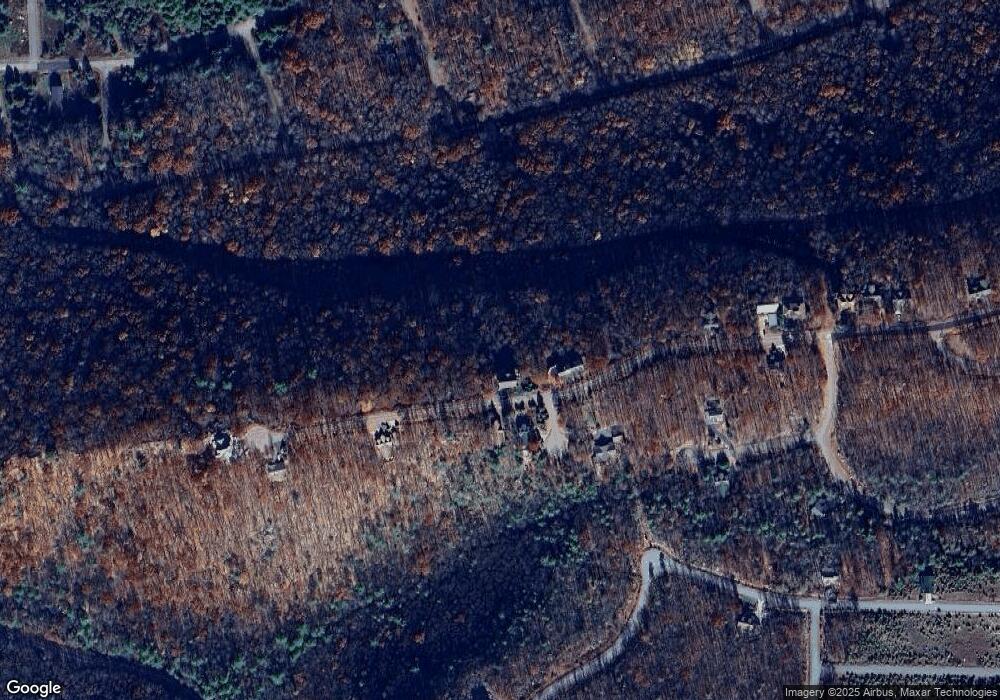
Map
Nearby Homes
- WS-041 Summit Rd
- EA Lot 247 Algonquin Dr
- 26 Tahkox Dr
- 0 Algonquin Dr Unit 24-281
- 0 Algonquin Dr Unit PASK2022426
- 0 Mid Summit Dr
- 138 Mid Summit Dr
- WSS5.127 Mid Summer Dr
- 003 Okwes Ln
- 29 Blackhawk Blvd
- 49 Adobe Way
- 54 Summit Rd
- WSS130 Peace Pipe Dr
- 6 Cheyenne Dr
- AWS-19 Sayre Dr
- AWS-5 Sayre Dr
- 107 Wss Peace Pipe Dr
- 42 Chippewa Dr
- 132 Kenoza Dr
- AW 012 Arapahoe Ln
Your Personal Tour Guide
Ask me questions while you tour the home.