130 Tate Rd Reidsville, NC 27320
Estimated Value: $341,000 - $412,546
--
Bed
1
Bath
1,692
Sq Ft
$227/Sq Ft
Est. Value
About This Home
This home is located at 130 Tate Rd, Reidsville, NC 27320 and is currently estimated at $383,887, approximately $226 per square foot. 130 Tate Rd is a home located in Rockingham County with nearby schools including Williamsburg Elementary School, Reidsville High School, and Reidsville Middle School.
Ownership History
Date
Name
Owned For
Owner Type
Purchase Details
Closed on
Mar 28, 2011
Sold by
Amos Timothy Dean and Amos Katherine M
Bought by
Robertson Steve A and Robertson Ruth H
Current Estimated Value
Home Financials for this Owner
Home Financials are based on the most recent Mortgage that was taken out on this home.
Original Mortgage
$170,000
Outstanding Balance
$118,321
Interest Rate
4.99%
Mortgage Type
New Conventional
Estimated Equity
$265,566
Create a Home Valuation Report for This Property
The Home Valuation Report is an in-depth analysis detailing your home's value as well as a comparison with similar homes in the area
Home Values in the Area
Average Home Value in this Area
Purchase History
| Date | Buyer | Sale Price | Title Company |
|---|---|---|---|
| Robertson Steve A | $205,000 | None Available |
Source: Public Records
Mortgage History
| Date | Status | Borrower | Loan Amount |
|---|---|---|---|
| Open | Robertson Steve A | $170,000 |
Source: Public Records
Tax History Compared to Growth
Tax History
| Year | Tax Paid | Tax Assessment Tax Assessment Total Assessment is a certain percentage of the fair market value that is determined by local assessors to be the total taxable value of land and additions on the property. | Land | Improvement |
|---|---|---|---|---|
| 2025 | $2,231 | $335,826 | $76,902 | $258,924 |
| 2024 | $2,236 | $335,826 | $76,902 | $258,924 |
| 2023 | $2,236 | $197,102 | $42,719 | $154,383 |
| 2022 | $1,547 | $197,102 | $42,719 | $154,383 |
| 2021 | $1,547 | $197,102 | $42,719 | $154,383 |
| 2020 | $1,547 | $197,102 | $42,719 | $154,383 |
| 2019 | $1,547 | $197,102 | $42,719 | $154,383 |
| 2018 | $1,510 | $192,155 | $50,008 | $142,147 |
| 2017 | $1,472 | $192,155 | $50,008 | $142,147 |
| 2015 | $1,487 | $192,155 | $50,008 | $142,147 |
| 2014 | $1,472 | $192,155 | $50,008 | $142,147 |
Source: Public Records
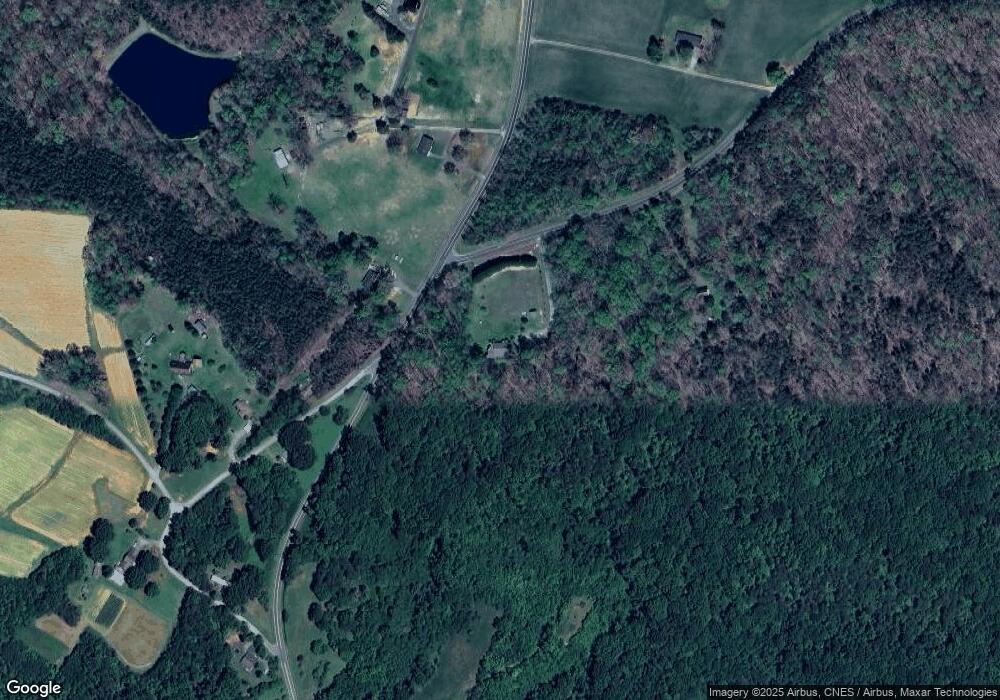
Map
Nearby Homes
- 2846 Grooms Rd
- 221 Cart Dr
- 219 Cart Dr
- 0 Cart Dr
- Lot 6 Cart Dr
- Lot 3 Cart Dr
- Lot 4 Cart Dr
- Lot 5 Cart Dr
- Lot 2 Cart Dr
- Lot 1 Manley Farm Rd
- 2072 U S 158
- 525 Grooms Rd
- 2053 U S Highway 158 W
- 00 Rolling Meadows Dr
- 126 Mullins Rd
- 1790 - 1826 U S Highway 158 W
- Lot 1a Joe Cobb Rd
- Lot 2 Joe Cobb Rd
- Lot 1 A Joe Cobb Rd
- Lot 1B Joe Cobb Rd
- 2971 Grooms Rd
- 166 Tate Rd
- 2909 Grooms Rd
- 3029 Grooms Rd
- 3097 Grooms Rd
- 121 Green Meadow Rd
- 3068 Grooms Rd
- 100 Green Meadow Loop
- 140 Green Meadow Rd
- 2806 Grooms Rd
- 121 Thacker Farm Ln
- 2790 Grooms Rd
- 3129 Grooms Rd
- 3121 Grooms Rd
- 151 Thacker Farm Ln
- 3169 Grooms Rd
- 319 Tate Rd
- 190 Bunny Trail
- 3171 Grooms Rd
- 344 Tate Rd