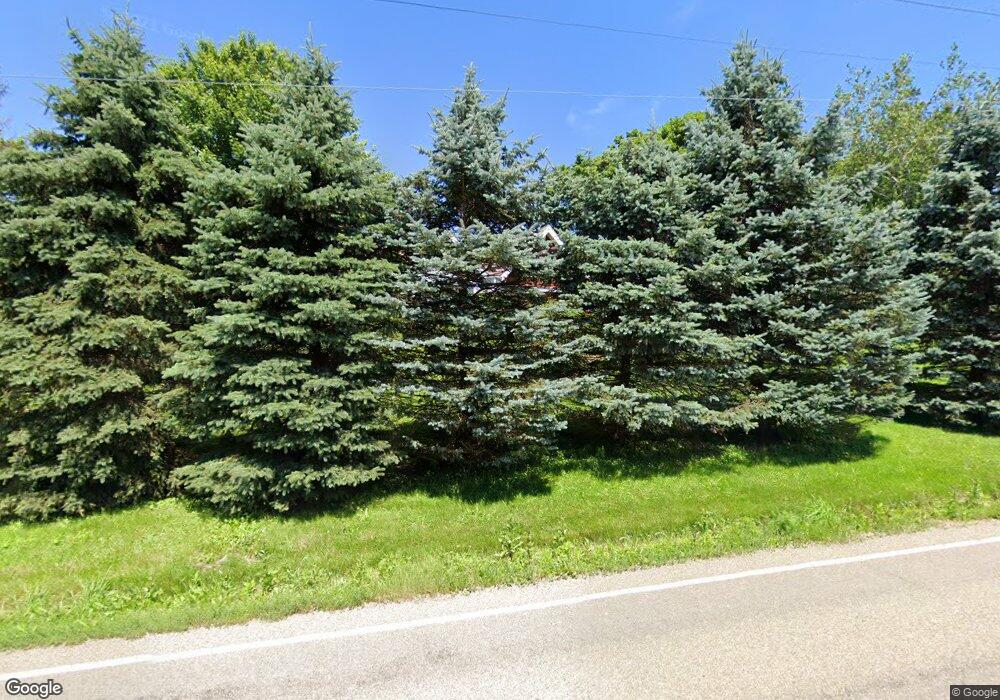
130 Warrendale Rd Mars, PA 16046
Adams Township Butler NeighborhoodEstimated Value: $359,000 - $453,042
3
Beds
3
Baths
1,562
Sq Ft
$257/Sq Ft
Est. Value
About This Home
This home is located at 130 Warrendale Rd, Mars, PA 16046 and is currently estimated at $400,761, approximately $256 per square foot. 130 Warrendale Rd is a home located in Butler County with nearby schools including Mars Area Primary Center, Mars Area Elementary School, and Mars Area Centennial School.
Ownership History
Date
Name
Owned For
Owner Type
Purchase Details
Closed on
May 15, 2014
Sold by
Faulkner Robert C
Bought by
Woodward Family L P
Current Estimated Value
Purchase Details
Closed on
Aug 31, 2005
Sold by
Milbert Justin S
Bought by
Faulkner Robert C
Home Financials for this Owner
Home Financials are based on the most recent Mortgage that was taken out on this home.
Original Mortgage
$167,200
Interest Rate
5.81%
Mortgage Type
New Conventional
Purchase Details
Closed on
Aug 25, 2003
Sold by
Matheis Fred
Bought by
Milbert Justin S
Home Financials for this Owner
Home Financials are based on the most recent Mortgage that was taken out on this home.
Original Mortgage
$153,680
Interest Rate
5.52%
Mortgage Type
New Conventional
Create a Home Valuation Report for This Property
The Home Valuation Report is an in-depth analysis detailing your home's value as well as a comparison with similar homes in the area
Home Values in the Area
Average Home Value in this Area
Purchase History
| Date | Buyer | Sale Price | Title Company |
|---|---|---|---|
| Woodward Family L P | $235,000 | -- | |
| Faulkner Robert C | $209,000 | -- | |
| Milbert Justin S | $192,100 | -- |
Source: Public Records
Mortgage History
| Date | Status | Borrower | Loan Amount |
|---|---|---|---|
| Previous Owner | Faulkner Robert C | $167,200 | |
| Previous Owner | Milbert Justin S | $153,680 |
Source: Public Records
Tax History Compared to Growth
Tax History
| Year | Tax Paid | Tax Assessment Tax Assessment Total Assessment is a certain percentage of the fair market value that is determined by local assessors to be the total taxable value of land and additions on the property. | Land | Improvement |
|---|---|---|---|---|
| 2025 | $2,159 | $15,380 | $1,590 | $13,790 |
| 2024 | $2,106 | $15,380 | $1,590 | $13,790 |
| 2023 | $2,042 | $15,380 | $1,590 | $13,790 |
| 2022 | $2,042 | $15,380 | $1,590 | $13,790 |
| 2021 | $2,042 | $15,380 | $0 | $0 |
| 2020 | $2,042 | $15,380 | $1,590 | $13,790 |
| 2019 | $2,042 | $15,380 | $1,590 | $13,790 |
| 2018 | $2,005 | $15,380 | $1,590 | $13,790 |
| 2017 | $2,005 | $15,380 | $1,590 | $13,790 |
| 2016 | $531 | $15,380 | $1,590 | $13,790 |
| 2015 | $312 | $15,380 | $1,590 | $13,790 |
| 2014 | $312 | $15,380 | $1,590 | $13,790 |
Source: Public Records
Map
Nearby Homes
- 1301 Shinnecock Ct
- 1012 Norton Dr
- 1004 Amy Place
- 109 Ontario Ct
- 246 Adams Pointe Blvd Unit 1
- 248 Adams Pointe Blvd Unit 2
- 227 Adams Pointe Blvd Unit 3
- 219 Adams Pointe Blvd Unit 9
- 107 E School St
- 5003 Old Orchard Ln
- 470 Four Lakes Dr
- 1703 Pointe View Dr
- 318 Village Dr
- 1043 Whistler Way
- 1304 Pointe View Dr
- 7002 Eagle Rd
- 1011 Whistler Way
- 1009 Whistler Way
- 1002 Whistler Way
- Yale Plan at Amherst Village - Single Family Homes
- 126 Warrendale Rd
- 120 Warrendale Rd
- 212 Boggs Ave
- 118 Warrendale Rd
- 107 Caromar Dr
- 100 Silvercreek Dr
- 111 Caromar Dr
- 208 Boggs Ave
- 115 Caromar Dr
- 110 Silvercreek Dr
- 206 Boggs Ave
- 120 Silvercreek Dr
- 106 Warrendale Rd
- 117 Caromar Dr
- 106 Caromar Dr
- 110 Caromar Dr
- 130 Silvercreek Dr
- 103 Warrendale Rd
- 114 Caromar Dr
- 140 Silvercreek Dr
