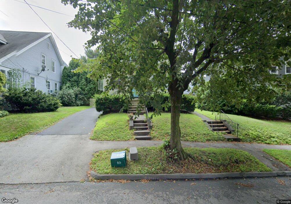
130 Whitmarsh Ave Unit 130 Worcester, MA 01606
Greendale NeighborhoodEstimated Value: $421,000 - $480,000
3
Beds
3
Baths
1,486
Sq Ft
$295/Sq Ft
Est. Value
About This Home
This home is located at 130 Whitmarsh Ave Unit 130, Worcester, MA 01606 and is currently estimated at $438,741, approximately $295 per square foot. 130 Whitmarsh Ave Unit 130 is a home located in Worcester County with nearby schools including Jacob Hiatt Magnet School, Chandler Magnet, and Thorndyke Road School.
Ownership History
Date
Name
Owned For
Owner Type
Purchase Details
Closed on
Dec 21, 2012
Sold by
Roys William B
Bought by
Hill Allison C
Current Estimated Value
Home Financials for this Owner
Home Financials are based on the most recent Mortgage that was taken out on this home.
Original Mortgage
$170,322
Outstanding Balance
$117,336
Interest Rate
3.25%
Mortgage Type
FHA
Estimated Equity
$321,405
Purchase Details
Closed on
May 5, 2000
Sold by
Westberg Carl Harold
Bought by
Roys William B
Home Financials for this Owner
Home Financials are based on the most recent Mortgage that was taken out on this home.
Original Mortgage
$100,200
Interest Rate
8.21%
Mortgage Type
Purchase Money Mortgage
Create a Home Valuation Report for This Property
The Home Valuation Report is an in-depth analysis detailing your home's value as well as a comparison with similar homes in the area
Home Values in the Area
Average Home Value in this Area
Purchase History
We collect this data history from publicly available records. To have your information removed, we recommend requesting removal directly through your county’s website.
| Date | Buyer | Sale Price | Title Company |
|---|---|---|---|
| Hill Allison C | $176,500 | -- | |
| Roys William B | $129,000 | -- |
Source: Public Records
Mortgage History
We collect this data history from publicly available records. To have your information removed, we recommend requesting removal directly through your county’s website.
| Date | Status | Borrower | Loan Amount |
|---|---|---|---|
| Open | Hill Allison C | $170,322 | |
| Previous Owner | Roys William B | $102,000 | |
| Previous Owner | Roys William B | $100,200 |
Source: Public Records
Tax History
| Year | Tax Paid | Tax Assessment Tax Assessment Total Assessment is a certain percentage of the fair market value that is determined by local assessors to be the total taxable value of land and additions on the property. | Land | Improvement |
|---|---|---|---|---|
| 2025 | $4,722 | $358,000 | $101,900 | $256,100 |
| 2024 | $4,528 | $329,300 | $101,900 | $227,400 |
| 2023 | $4,362 | $304,200 | $88,600 | $215,600 |
| 2022 | $4,040 | $265,600 | $70,900 | $194,700 |
| 2021 | $3,945 | $242,300 | $56,700 | $185,600 |
| 2020 | $3,764 | $221,400 | $56,700 | $164,700 |
| 2019 | $3,627 | $201,500 | $51,000 | $150,500 |
| 2018 | $3,623 | $191,600 | $51,000 | $140,600 |
| 2017 | $3,475 | $180,800 | $51,000 | $129,800 |
| 2016 | $3,485 | $169,100 | $38,200 | $130,900 |
| 2015 | $3,394 | $169,100 | $38,200 | $130,900 |
| 2014 | $3,275 | $167,600 | $38,200 | $129,400 |
Source: Public Records
Map
Nearby Homes
- 129 King Philip Rd
- 130 Whitmarsh Ave
- 130 Whitmarsh Ave
- 137 King Philip Rd
- 126 Whitmarsh Ave
- 127 King Philip Rd
- 122 Whitmarsh Ave
- 141 King Philip Rd
- 1 Mellor Ave
- 138 King Philip Rd
- 121 King Philip Rd
- 2 Mellor Ave
- 2 Mellor Ave Unit 1
- 142 Whitmarsh Ave
- 114 Whitmarsh Ave
- 145 King Philip Rd
- 140 King Philip Rd
- 140 King Philip Rd Unit 2
- 148 Whitmarsh Ave
- 129 Whitmarsh Ave
Your Personal Tour Guide
Ask me questions while you tour the home.