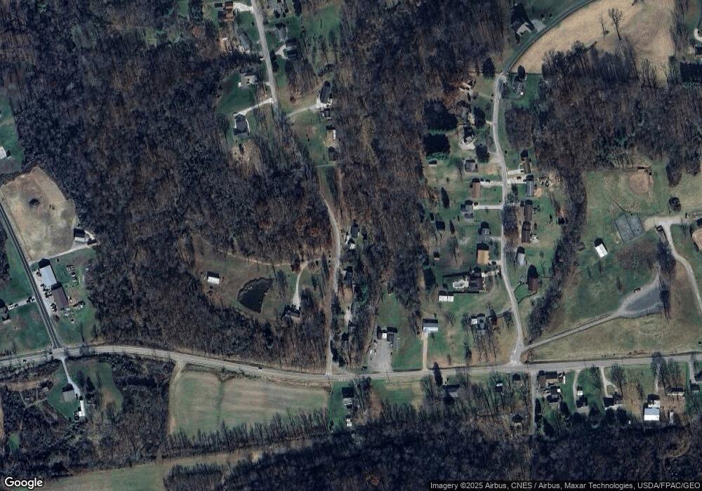
130 Wynncrest Dr Marietta, OH 45750
Estimated Value: $137,000 - $214,000
3
Beds
1
Bath
1,008
Sq Ft
$183/Sq Ft
Est. Value
About This Home
This home is located at 130 Wynncrest Dr, Marietta, OH 45750 and is currently estimated at $184,685, approximately $183 per square foot. 130 Wynncrest Dr is a home with nearby schools including Warren High School.
Ownership History
Date
Name
Owned For
Owner Type
Purchase Details
Closed on
Mar 7, 2019
Sold by
Coe Herman R
Bought by
Coe Vernice D and Coe Darlene V
Current Estimated Value
Purchase Details
Closed on
Aug 20, 2015
Sold by
Coe Steven R and Coe Missy
Bought by
Carper Ryan
Purchase Details
Closed on
Jul 11, 2011
Sold by
Coe Vernice D
Bought by
Coe Steven R and Binegar Debra Marie
Purchase Details
Closed on
Nov 30, 2010
Sold by
Coe Herman R and Coe Vernice D
Bought by
Coe Vernice D
Purchase Details
Closed on
May 25, 2007
Sold by
Coe Herman R and Coe Vernice D
Bought by
Coe Herman R and Coe Vernice D
Create a Home Valuation Report for This Property
The Home Valuation Report is an in-depth analysis detailing your home's value as well as a comparison with similar homes in the area
Home Values in the Area
Average Home Value in this Area
Purchase History
| Date | Buyer | Sale Price | Title Company |
|---|---|---|---|
| Coe Vernice D | -- | None Available | |
| Carper Ryan | $60,000 | Attorney | |
| Coe Steven R | -- | Attorney | |
| Coe Vernice D | -- | Attorney | |
| Coe Herman R | -- | Attorney |
Source: Public Records
Tax History Compared to Growth
Tax History
| Year | Tax Paid | Tax Assessment Tax Assessment Total Assessment is a certain percentage of the fair market value that is determined by local assessors to be the total taxable value of land and additions on the property. | Land | Improvement |
|---|---|---|---|---|
| 2024 | $1,757 | $46,460 | $9,230 | $37,230 |
| 2023 | $1,757 | $46,460 | $9,230 | $37,230 |
| 2022 | $1,754 | $46,460 | $9,230 | $37,230 |
| 2021 | $1,220 | $30,840 | $6,600 | $24,240 |
| 2020 | $1,219 | $30,840 | $6,600 | $24,240 |
| 2019 | $1,201 | $30,840 | $6,600 | $24,240 |
| 2018 | $1,116 | $27,770 | $5,740 | $22,030 |
| 2017 | $1,110 | $27,770 | $5,740 | $22,030 |
| 2016 | $972 | $27,770 | $5,740 | $22,030 |
| 2015 | $982 | $26,550 | $5,840 | $20,710 |
| 2014 | $1,367 | $26,550 | $5,840 | $20,710 |
| 2013 | $489 | $26,550 | $5,840 | $20,710 |
Source: Public Records
Map
Nearby Homes
- 2021 Robinson Hill Rd
- 254 Riggenbach Hill Rd
- 65 High Point Dr
- 0 Fisher Ridge Rd Tract 8
- 0 Fisher Ridge Rd Tract 7
- 0 Fisher Ridge Rd Tract 6
- 0 Fisher Ridge Rd Tract 5
- 203 57th St
- 0 Fisher Ridge Rd Tract 4
- 302 57th St
- 411 58th St
- 0 Fisher Ridge Rd Tract 2
- 0 Fisher Ridge Rd Tract 1
- 407 56th St
- 0 River Rd Unit Lot WP001
- 20645 Ohio 676
- 5607 Grand Central Ave
- 53 Central Dr
- 116 Pineview Dr
- 100 Pineview Dr
- 200 Wynncrest Dr
- 245 Wynncrest Dr
- 255 Wynncrest Dr
- 120 Wynncrest Dr
- 295 Wynncrest Dr
- 205 Wynnwood Dr
- 165 Wynnwood Dr
- 215 Wynnwood Dr
- 320 Wynncrest Dr
- 135 Wynnwood Dr
- 325 Wynncrest Dr
- 82 Wynncrest Dr
- 145 Wynnwood Dr
- 330 Wynncrest Dr
- 108 Clare Kennedy Dr
- 109 Wynncrest Dr
- 105 Wynnwood Dr
- 230 Wynnwood Dr
- 95 Wynnwood Dr
- 95 Wynnwood Dr
