Estimated Value: $167,000 - $208,000
2
Beds
1
Bath
1,728
Sq Ft
$105/Sq Ft
Est. Value
About This Home
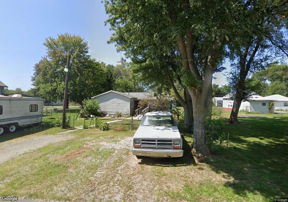
This home is located at 130 Yant St, Cairo, OH 45820 and is currently estimated at $180,606, approximately $104 per square foot. 130 Yant St is a home with nearby schools including Bath Elementary School, Bath Middle School, and Bath High School.
Ownership History
Date
Name
Owned For
Owner Type
Purchase Details
Closed on
Jun 12, 2002
Sold by
Edgington Robert C
Bought by
Edgington Kimberly S
Current Estimated Value
Home Financials for this Owner
Home Financials are based on the most recent Mortgage that was taken out on this home.
Original Mortgage
$59,250
Outstanding Balance
$27,904
Interest Rate
8.44%
Mortgage Type
New Conventional
Estimated Equity
$152,702
Purchase Details
Closed on
Apr 1, 1974
Bought by
Edgington Robert C
Create a Home Valuation Report for This Property
The Home Valuation Report is an in-depth analysis detailing your home's value as well as a comparison with similar homes in the area
Purchase History
| Date | Buyer | Sale Price | Title Company |
|---|---|---|---|
| Edgington Kimberly S | $79,000 | -- | |
| Edgington Robert C | $5,500 | -- |
Source: Public Records
Mortgage History
| Date | Status | Borrower | Loan Amount |
|---|---|---|---|
| Open | Edgington Kimberly S | $59,250 |
Source: Public Records
Tax History
| Year | Tax Paid | Tax Assessment Tax Assessment Total Assessment is a certain percentage of the fair market value that is determined by local assessors to be the total taxable value of land and additions on the property. | Land | Improvement |
|---|---|---|---|---|
| 2024 | $2,652 | $43,060 | $4,450 | $38,610 |
| 2023 | $2,295 | $30,520 | $3,150 | $27,370 |
| 2022 | $2,304 | $30,520 | $3,150 | $27,370 |
| 2021 | $2,337 | $30,520 | $3,150 | $27,370 |
| 2020 | $2,196 | $25,130 | $3,010 | $22,120 |
| 2019 | $2,196 | $25,130 | $3,010 | $22,120 |
| 2018 | $2,106 | $25,130 | $3,010 | $22,120 |
| 2017 | $2,046 | $22,510 | $3,010 | $19,500 |
| 2016 | $2,186 | $22,510 | $3,010 | $19,500 |
| 2015 | $1,972 | $22,510 | $3,010 | $19,500 |
| 2014 | $2,007 | $23,070 | $2,840 | $20,230 |
| 2013 | $1,986 | $23,070 | $2,840 | $20,230 |
Source: Public Records
Map
Nearby Homes
- 102 W Main St
- 201 Wall St
- 513 W Main St
- 634 W Main St
- 1085 Lutz Rd
- 4387 N West St
- 108 Highland Lakes Dr
- 3263 Shiloh Dr
- 0 Fraunfelter Unit 307817
- 0 N Eastown Rd Unit 1034495
- 0 Thorndyke Dr
- 3137 Thorndyke Dr
- 2878 Autumn Lake Dr
- 0 N Dixie Hwy Unit 300253
- 475 Kenmore St
- 520 Kenmore St
- 5025 N Cool Rd
- 2718 Carolyn Dr
- 2230 N Dixie Hwy
- 2145 N Dixie Hwy Unit 80
Your Personal Tour Guide
Ask me questions while you tour the home.