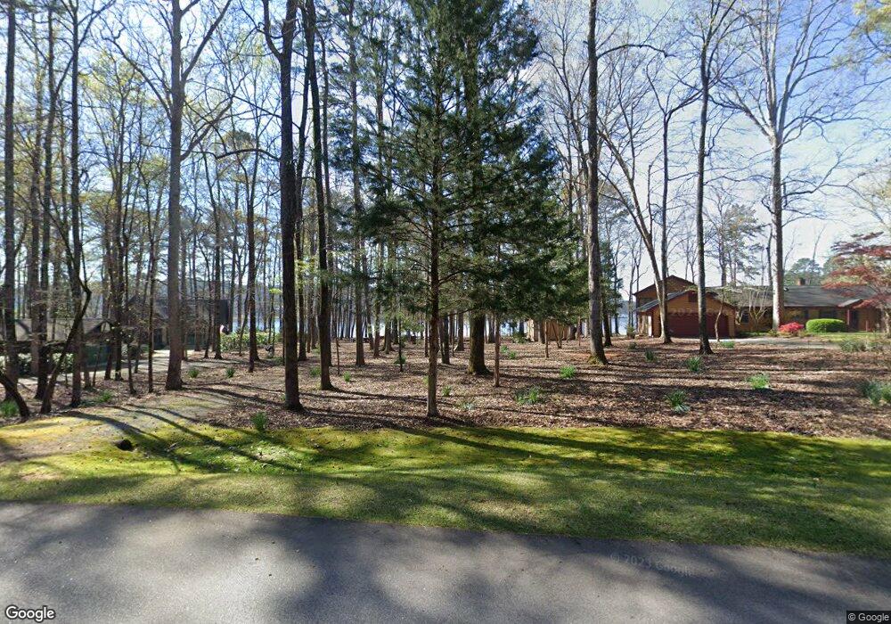
1300 Buckhead Dr Greensboro, GA 30642
Estimated Value: $695,141 - $1,494,000
--
Bed
--
Bath
--
Sq Ft
1.02
Acres
About This Home
This home is located at 1300 Buckhead Dr, Greensboro, GA 30642 and is currently estimated at $1,115,714. 1300 Buckhead Dr is a home with nearby schools including Greene County High School.
Ownership History
Date
Name
Owned For
Owner Type
Purchase Details
Closed on
Dec 15, 2000
Sold by
Whorley William W
Bought by
Whorley William W
Current Estimated Value
Purchase Details
Closed on
Dec 14, 2000
Sold by
Whorley William W
Bought by
Whorley William W
Purchase Details
Closed on
Sep 28, 1999
Sold by
Cook Robert F
Bought by
Whorley William W
Purchase Details
Closed on
Jan 1, 1986
Sold by
Eagen Dennis and Eagen Virginia
Bought by
Cook Robert F
Purchase Details
Closed on
Jan 1, 1980
Sold by
Wolski William F
Bought by
Eagen Dennis and Eagen Virginia
Purchase Details
Closed on
Jan 1, 1974
Bought by
Wolski William F
Create a Home Valuation Report for This Property
The Home Valuation Report is an in-depth analysis detailing your home's value as well as a comparison with similar homes in the area
Home Values in the Area
Average Home Value in this Area
Purchase History
| Date | Buyer | Sale Price | Title Company |
|---|---|---|---|
| Whorley William W | -- | -- | |
| Whorley William W | -- | -- | |
| Whorley William W | $550,000 | -- | |
| Cook Robert F | -- | -- | |
| Eagen Dennis | -- | -- | |
| Wolski William F | -- | -- |
Source: Public Records
Tax History Compared to Growth
Tax History
| Year | Tax Paid | Tax Assessment Tax Assessment Total Assessment is a certain percentage of the fair market value that is determined by local assessors to be the total taxable value of land and additions on the property. | Land | Improvement |
|---|---|---|---|---|
| 2024 | $2,980 | $192,320 | $190,240 | $2,080 |
| 2023 | $2,537 | $192,320 | $190,240 | $2,080 |
| 2022 | $3,940 | $224,480 | $223,040 | $1,440 |
| 2021 | $3,251 | $171,840 | $170,400 | $1,440 |
| 2020 | $2,144 | $102,880 | $101,440 | $1,440 |
| 2019 | $2,210 | $102,880 | $101,440 | $1,440 |
| 2018 | $2,214 | $102,880 | $101,440 | $1,440 |
| 2017 | $2,071 | $102,959 | $101,477 | $1,482 |
| 2016 | $2,068 | $102,959 | $101,477 | $1,482 |
| 2015 | $2,182 | $109,724 | $108,242 | $1,482 |
| 2014 | $2,237 | $109,720 | $108,242 | $1,478 |
Source: Public Records
Map
Nearby Homes
- 1430 Buckhead Dr
- 1800 Buckhead Dr
- 1991 Armour Bridge Rd
- 1251 Lake Club Dr
- 1230 Lake Club Dr
- 1221 Lake Club Dr
- 1070 Prosperity Pointe
- 1070 Prosperity Point
- 1341 Granite Cove Dr
- 1031 Hawks Bill Dr
- 1010 Portage Trail
- 1831 Parrotts Pointe Rd
- 1010 Tailwater
- 1050 Tailwater Unit A
- 1050 Tailwater
- 1030 Tailwater
- 1010 Creekside Unit A
- 1310 Buckhead Dr
- 1290 Buckhead Dr
- 1320 Buckhead Dr
- 1280 Buckhead Dr Unit 7
- 1280 Buckhead Dr
- 1330 Buckhead Dr Unit 2
- 1330 Buckhead Dr
- Lot 14 Buckhead Dr
- 1011 Oak Ridge Dr
- 1350 Buckhead Dr
- 1420 Buckhead Dr
- 1410 Buckhead Dr
- 1021 Oak Ridge Dr
- 1400 Buckhead Dr
- 1440 Buckhead Dr
- 1380 Buckhead Dr
- 1030 Oak Ridge Dr
- 1010 Oak Ridge Dr
- 1460 Buckhead Dr
- 1210 Buckhead Dr