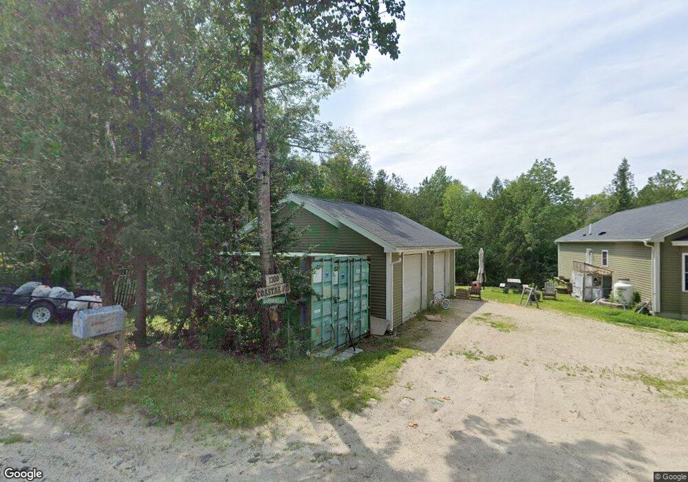
1300 Coastal Rd Brooksville, ME 04617
Estimated Value: $322,957 - $383,000
--
Bed
--
Bath
--
Sq Ft
3.5
Acres
About This Home
This home is located at 1300 Coastal Rd, Brooksville, ME 04617 and is currently estimated at $358,989. 1300 Coastal Rd is a home with nearby schools including Brooksville Elementary School.
Create a Home Valuation Report for This Property
The Home Valuation Report is an in-depth analysis detailing your home's value as well as a comparison with similar homes in the area
Home Values in the Area
Average Home Value in this Area
Tax History Compared to Growth
Tax History
| Year | Tax Paid | Tax Assessment Tax Assessment Total Assessment is a certain percentage of the fair market value that is determined by local assessors to be the total taxable value of land and additions on the property. | Land | Improvement |
|---|---|---|---|---|
| 2024 | $1,643 | $304,200 | $80,600 | $223,600 |
| 2023 | $1,522 | $234,100 | $62,000 | $172,100 |
| 2022 | $1,437 | $210,700 | $55,800 | $154,900 |
| 2021 | $1,412 | $210,700 | $55,800 | $154,900 |
| 2020 | $1,433 | $210,700 | $55,800 | $154,900 |
| 2019 | $1,205 | $210,700 | $55,800 | $154,900 |
| 2018 | $1,178 | $210,700 | $55,800 | $154,900 |
| 2017 | $1,178 | $210,700 | $55,800 | $154,900 |
| 2016 | $1,178 | $210,700 | $55,800 | $154,900 |
| 2015 | $693 | $123,900 | $123,900 | $0 |
| 2013 | $660 | $137,600 | $137,600 | $0 |
Source: Public Records
Map
Nearby Homes
- M15 L23 Varnum Rd
- 26 Tidal Creek Rd
- 37 Water St
- 10 Green St
- 118 Wescott Battery
- M17 L15 Perkins St
- M17 L15 Battle Ave
- 79 Perkins St
- 111 Franks Flat Rd
- 565 Bagaduce Rd
- 435 Parcel 4 Herrick Rd
- 0 Route 175 Unit 1622156
- 144 Bagaduce Rd
- 2 Camp Stream Point Ln
- 21 Harborside Rd
- Lot #3 Blueberry Ridge Way
- Map4 Lot26 Graytown Rd
- 0 Kingdom Rd
- 435 Herrick Rd
- 581 the Shore Rd