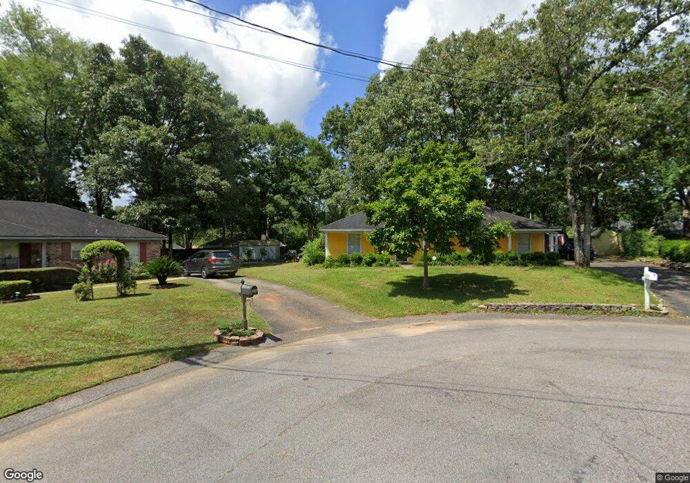
1300 Comstock Ct Mobile, AL 36695
Baker NeighborhoodEstimated Value: $189,024 - $216,000
3
Beds
2
Baths
1,377
Sq Ft
$150/Sq Ft
Est. Value
About This Home
This home is located at 1300 Comstock Ct, Mobile, AL 36695 and is currently estimated at $206,006, approximately $149 per square foot. 1300 Comstock Ct is a home located in Mobile County with nearby schools including Elsie Collier Elementary School, Bernice J Causey Middle School, and Baker High School.
Ownership History
Date
Name
Owned For
Owner Type
Purchase Details
Closed on
Sep 21, 1998
Sold by
Tillman Clyde B and Tillman Angela P
Bought by
Lawrence David W and Lawrence Allison R
Current Estimated Value
Home Financials for this Owner
Home Financials are based on the most recent Mortgage that was taken out on this home.
Original Mortgage
$71,500
Outstanding Balance
$14,142
Interest Rate
6.92%
Estimated Equity
$191,864
Create a Home Valuation Report for This Property
The Home Valuation Report is an in-depth analysis detailing your home's value as well as a comparison with similar homes in the area
Home Values in the Area
Average Home Value in this Area
Purchase History
| Date | Buyer | Sale Price | Title Company |
|---|---|---|---|
| Lawrence David W | $78,000 | -- |
Source: Public Records
Mortgage History
| Date | Status | Borrower | Loan Amount |
|---|---|---|---|
| Open | Lawrence David W | $71,500 |
Source: Public Records
Tax History
| Year | Tax Paid | Tax Assessment Tax Assessment Total Assessment is a certain percentage of the fair market value that is determined by local assessors to be the total taxable value of land and additions on the property. | Land | Improvement |
|---|---|---|---|---|
| 2025 | $723 | $14,940 | $3,000 | $11,940 |
| 2024 | $723 | $13,870 | $3,000 | $10,870 |
| 2023 | $589 | $12,070 | $3,300 | $8,770 |
| 2022 | $464 | $10,920 | $3,000 | $7,920 |
| 2021 | $472 | $11,100 | $2,400 | $8,700 |
| 2020 | $472 | $11,100 | $2,400 | $8,700 |
| 2019 | $469 | $11,060 | $0 | $0 |
| 2018 | $436 | $10,380 | $0 | $0 |
| 2017 | $510 | $10,460 | $0 | $0 |
| 2016 | $460 | $10,860 | $0 | $0 |
| 2013 | $509 | $10,320 | $0 | $0 |
Source: Public Records
Map
Nearby Homes
- 9375 Ashwood Ct
- 0 New Neck Rd Unit 387066
- 9410 Ashwood Ct
- 9613 Oak Forrest Place
- 9391 Smokewood Dr
- 9630 Oak Forrest Dr Unit 2
- 9650 Oak Forrest Dr
- 11905 Airport Blvd
- 11905 Airport Blvd Unit 3
- 1151 Twelve Oaks Dr
- 860 Trailwood Dr E
- 835 Royal Woods Dr E
- 9633 Royal Woods Dr S
- 1170 Wellington Ct S
- 8880 Ohara Dr
- 750 Hale Rd
- 9751 Pine Knoll Rd
- 1145 Dominion Dr E
- 10635 Burlington Estates Dr
- 1509 William Dunn Way
- 9378 Seven Hills Curve S
- 1290 Comstock Ct
- 9370 Seven Hills Curve S
- 1311 Comstock Ct
- 9366 Seven Hills Curve S
- 9386 Seven Hills Curve S
- 1301 Comstock Ct
- 1291 Comstock Ct
- 1280 Comstock Ct
- 9360 Seven Hills Curve S
- 9396 Seven Hills Curve S
- 1281 Comstock Ct
- 9350 Seven Hills Curve S
- 1270 Comstock Ct
- 9340 Seven Hills Curve S
- 9340 Seven Hills Curve S Unit 7
- 9383 Seven Hills Curve S
- 1300 Woodstock Ct
- 1271 Comstock Ct
- 9377 Seven Hills Curve S
Your Personal Tour Guide
Ask me questions while you tour the home.