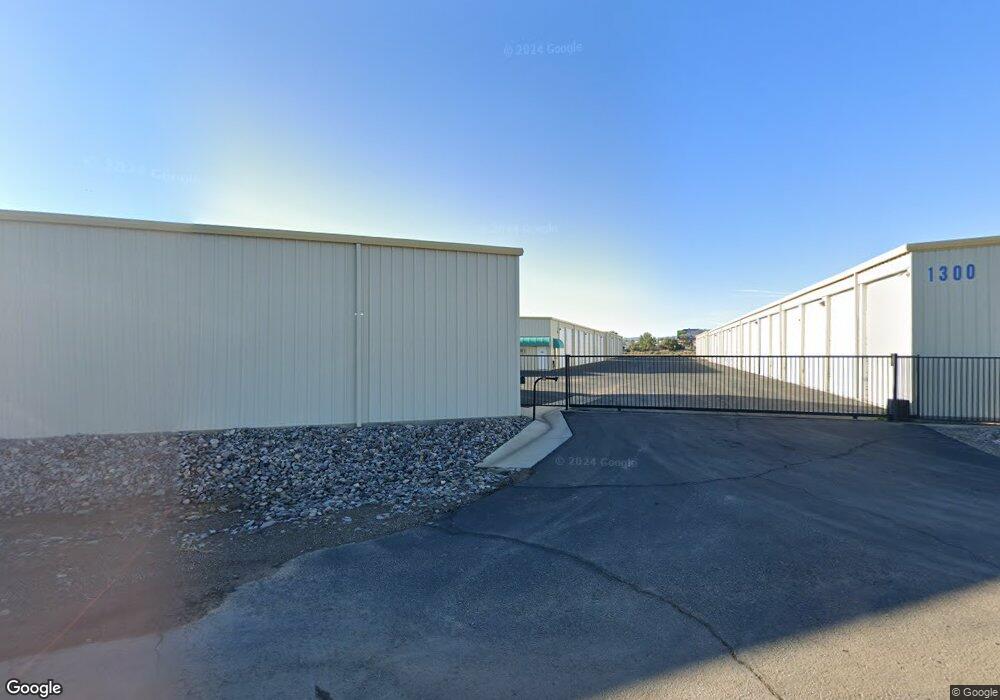
1300 Empire Rd Unit C-5 Mohave Valley, AZ 86440
Estimated Value: $46,000 - $60,000
--
Bed
--
Bath
17,726
Sq Ft
$3/Sq Ft
Est. Value
About This Home
This home is located at 1300 Empire Rd Unit C-5, Mohave Valley, AZ 86440 and is currently estimated at $51,755, approximately $2 per square foot. 1300 Empire Rd Unit C-5 is a home located in Mohave County with nearby schools including Fort Mohave Elementary School, Mohave Valley Junior High School, and Camp Mohave Elementary School.
Ownership History
Date
Name
Owned For
Owner Type
Purchase Details
Closed on
Jul 11, 2010
Sold by
King Todd Y and King Shareen M
Bought by
King Todd Y and King Shareen M
Current Estimated Value
Purchase Details
Closed on
Jan 13, 2010
Sold by
Mcpeak Elizabeth
Bought by
King Todd K and King Shareen M
Purchase Details
Closed on
Jun 1, 2005
Sold by
Azsto Llc
Bought by
Mcpeak Timothy and Mcpeak Elizabeth
Create a Home Valuation Report for This Property
The Home Valuation Report is an in-depth analysis detailing your home's value as well as a comparison with similar homes in the area
Home Values in the Area
Average Home Value in this Area
Purchase History
| Date | Buyer | Sale Price | Title Company |
|---|---|---|---|
| King Todd Y | -- | None Available | |
| King Todd K | $20,500 | First American Title Insuran | |
| Mcpeak Elizabeth | -- | First American Title Insuran | |
| Mcpeak Timothy | $28,500 | First American Title Ins Co |
Source: Public Records
Tax History Compared to Growth
Tax History
| Year | Tax Paid | Tax Assessment Tax Assessment Total Assessment is a certain percentage of the fair market value that is determined by local assessors to be the total taxable value of land and additions on the property. | Land | Improvement |
|---|---|---|---|---|
| 2026 | -- | -- | -- | -- |
| 2025 | $341 | $5,275 | $0 | $0 |
| 2024 | $341 | $3,448 | $0 | $0 |
| 2023 | $341 | $2,778 | $0 | $0 |
| 2022 | $335 | $2,931 | $0 | $0 |
| 2021 | $346 | $2,837 | $0 | $0 |
| 2019 | $321 | $4,678 | $0 | $0 |
| 2018 | $313 | $2,463 | $0 | $0 |
| 2017 | $310 | $2,533 | $0 | $0 |
| 2016 | $272 | $2,361 | $0 | $0 |
| 2015 | $291 | $2,247 | $0 | $0 |
Source: Public Records
Map
Nearby Homes
- 10181 Hamilton Dr
- 10217 S Hamilton Dr
- 10204 Townsend Cir
- 10191 S Meadow Ln
- 1432 Hamilton Way
- 10360 S Plantation Dr
- 000 S Plantation Dr
- 10025 S Driftwood Cir
- 10018 Driftwood Cir
- 10079 S Driftwood Cir
- 10079 S Gwen St
- 10200 S Empire Rd
- 1342 E Dike Rd
- 1370 E Dike Rd
- 10585 S Queens Rd
- 10538 Fremont Rd
- 10587 S Lead Ln
- 10533 & 10539 S Copper Ln
- 0 0 Unit IV24205456
- 0 0 Unit 23008073
- 1300 Empire Rd
- 1300 Empire #F-3 Rd
- 1300 Empire #B-3 Rd
- 1300 Empire Rd Unit A-13
- 1300 Empire #3 Rd
- 1300 E Empire D 3 4
- 1300 E Empire C-12 14 19 21
- 1300 S Empire Rd Unit E-9
- 1300 S Empire Rd Unit C-20
- 1300 Empire(l123) Unit E-9
- 1300 Empire Rd Unit C-12&21
- 1300 Empire Rd Unit C-3
- 1300 Empire Rd Unit D-11
- 1300 Empire Rd Unit E14
- 1300 Empire Rd Unit E-3
- 1300 Empire Rd Unit A-3
- 1300 Empire Rd Unit A-9
- 1300 Empire Rd Unit 1
- 1300 Empire Rd Unit C-20
- 1300 Empire Rd Unit C-22