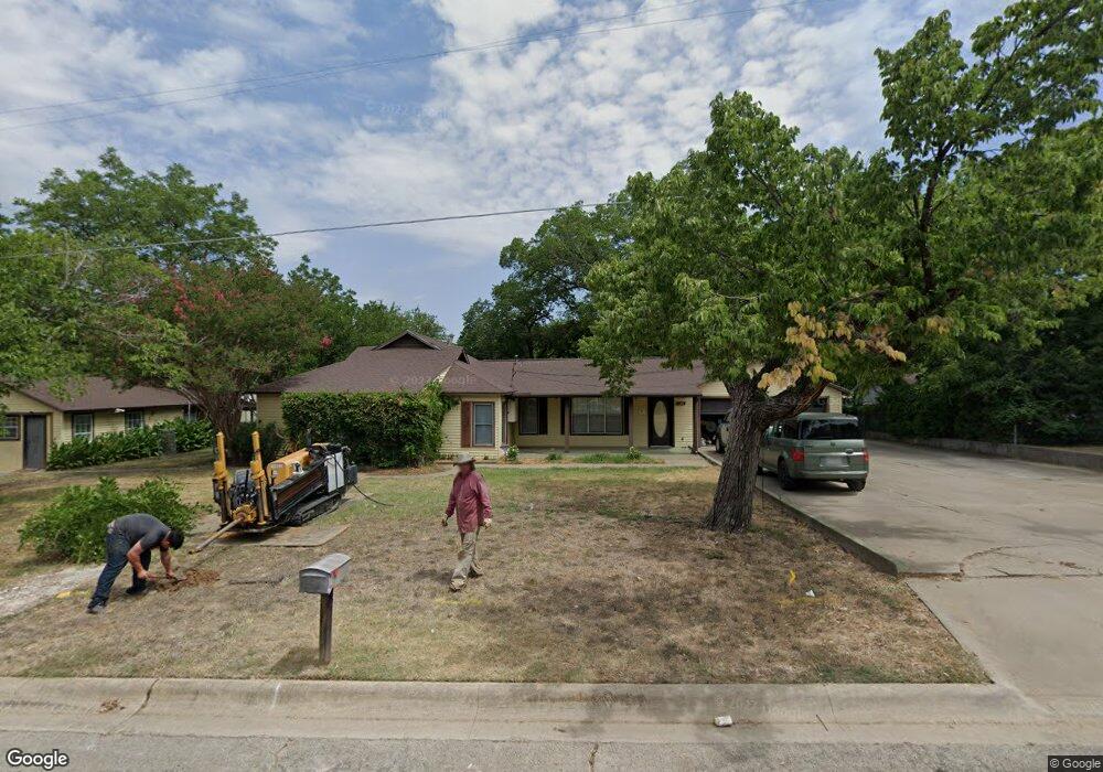
1300 Lindsey St Denton, TX 76205
Denia NeighborhoodEstimated Value: $313,950 - $403,000
4
Beds
3
Baths
2,418
Sq Ft
$151/Sq Ft
Est. Value
About This Home
This home is located at 1300 Lindsey St, Denton, TX 76205 and is currently estimated at $363,988, approximately $150 per square foot. 1300 Lindsey St is a home located in Denton County with nearby schools including Borman Elementary School, McMath Middle School, and Denton High School.
Ownership History
Date
Name
Owned For
Owner Type
Purchase Details
Closed on
Feb 17, 1994
Sold by
Smith Wilma Gertrude
Bought by
Weber John T
Current Estimated Value
Home Financials for this Owner
Home Financials are based on the most recent Mortgage that was taken out on this home.
Original Mortgage
$76,500
Interest Rate
6.94%
Create a Home Valuation Report for This Property
The Home Valuation Report is an in-depth analysis detailing your home's value as well as a comparison with similar homes in the area
Home Values in the Area
Average Home Value in this Area
Purchase History
| Date | Buyer | Sale Price | Title Company |
|---|---|---|---|
| Weber John T | -- | -- |
Source: Public Records
Mortgage History
| Date | Status | Borrower | Loan Amount |
|---|---|---|---|
| Closed | Weber John T | $76,500 |
Source: Public Records
Tax History Compared to Growth
Tax History
| Year | Tax Paid | Tax Assessment Tax Assessment Total Assessment is a certain percentage of the fair market value that is determined by local assessors to be the total taxable value of land and additions on the property. | Land | Improvement |
|---|---|---|---|---|
| 2025 | $1,135 | $212,051 | $45,125 | $203,553 |
| 2024 | $3,940 | $204,148 | $0 | $0 |
| 2023 | $1,068 | $185,125 | $45,125 | $207,696 |
| 2022 | $4,163 | $196,089 | $32,591 | $228,583 |
| 2021 | $3,325 | $149,563 | $17,549 | $132,014 |
| 2020 | $3,606 | $157,747 | $22,820 | $134,927 |
| 2019 | $3,721 | $155,958 | $22,820 | $139,530 |
| 2018 | $3,476 | $143,877 | $21,088 | $135,875 |
| 2017 | $3,263 | $131,993 | $16,402 | $125,958 |
| 2016 | $2,916 | $117,981 | $16,402 | $103,661 |
| 2015 | $1,502 | $105,872 | $16,402 | $89,470 |
| 2013 | -- | $91,216 | $16,402 | $74,814 |
Source: Public Records
Map
Nearby Homes
- 1211 Lindsey St
- 1619 Mccormick St
- 1523 Oakwood Dr
- 1024 Greenlee St
- 1115 Mccormick St
- 1311 Margie St Unit 1&2
- 1618 Kendolph Dr
- 631 Acme St
- 1211 Kendolph Dr
- 1301 Fannin St
- 808 W Collins St
- 1303 Fannin St
- 2302 Mercedes Rd
- 724 W Collins St
- 922 Fannin St Unit 102
- 708 W Collins St
- 700 W Collins St
- 2314 Leslie St
- 2216 Redwing Dr
- 618 W Collins St
- 1302 Lindsey St
- 1220 Lindsey St
- 1210 Lindsey St
- 1305 Lindsey St
- 1213 Lindsey St
- 1206 Lindsey St
- 1301 Lindsey St
- 1209 Lindsey St
- 1523 Mccormick St
- 1307 Lindsey St
- 1315 Lindsey St
- 1202 Lindsey St
- 1523 Mccormick St
- 1519 Mccormick St
- 1203 Lindsey St
- 1205 Lindsey St
- 1603 Mccormick St
- 1605 Mccormick St
- 1515 Mccormick St
- 1214 Oakwood Dr