1300 Mistymeadow Ln Cincinnati, OH 45230
Salem Heights NeighborhoodEstimated Value: $1,325,000 - $1,708,000
7
Beds
7
Baths
8,345
Sq Ft
$182/Sq Ft
Est. Value
About This Home
This home is located at 1300 Mistymeadow Ln, Cincinnati, OH 45230 and is currently estimated at $1,516,532, approximately $181 per square foot. 1300 Mistymeadow Ln is a home located in Hamilton County with nearby schools including Maddux Elementary School, Nagel Middle School, and Anderson High School.
Ownership History
Date
Name
Owned For
Owner Type
Purchase Details
Closed on
Apr 18, 2023
Sold by
Rinehart Kenneth J and Rinehart Barbara A
Bought by
Homer Scott E
Current Estimated Value
Home Financials for this Owner
Home Financials are based on the most recent Mortgage that was taken out on this home.
Original Mortgage
$1,180,000
Outstanding Balance
$1,135,131
Interest Rate
5.63%
Mortgage Type
New Conventional
Estimated Equity
$381,401
Purchase Details
Closed on
Mar 28, 1997
Sold by
Robinson Lee
Bought by
Hogan John E
Home Financials for this Owner
Home Financials are based on the most recent Mortgage that was taken out on this home.
Original Mortgage
$550,000
Interest Rate
7.65%
Purchase Details
Closed on
Mar 24, 1997
Sold by
Robinson John R and Robinson Sue E
Bought by
Minutolo James P
Home Financials for this Owner
Home Financials are based on the most recent Mortgage that was taken out on this home.
Original Mortgage
$550,000
Interest Rate
7.65%
Create a Home Valuation Report for This Property
The Home Valuation Report is an in-depth analysis detailing your home's value as well as a comparison with similar homes in the area
Home Values in the Area
Average Home Value in this Area
Purchase History
| Date | Buyer | Sale Price | Title Company |
|---|---|---|---|
| Homer Scott E | $1,475,000 | None Listed On Document | |
| Hogan John E | -- | -- | |
| Robinson Lee | $870,000 | -- | |
| Minutolo James P | -- | -- |
Source: Public Records
Mortgage History
| Date | Status | Borrower | Loan Amount |
|---|---|---|---|
| Open | Homer Scott E | $1,180,000 | |
| Previous Owner | Hogan John E | $550,000 |
Source: Public Records
Tax History
| Year | Tax Paid | Tax Assessment Tax Assessment Total Assessment is a certain percentage of the fair market value that is determined by local assessors to be the total taxable value of land and additions on the property. | Land | Improvement |
|---|---|---|---|---|
| 2025 | $24,694 | $395,395 | $49,651 | $345,744 |
| 2024 | $23,998 | $395,395 | $49,651 | $345,744 |
| 2023 | $22,825 | $395,395 | $49,651 | $345,744 |
| 2022 | $20,005 | $308,606 | $51,002 | $257,604 |
| 2021 | $19,531 | $308,606 | $51,002 | $257,604 |
| 2020 | $19,756 | $308,606 | $51,002 | $257,604 |
| 2019 | $19,258 | $273,105 | $45,136 | $227,969 |
| 2018 | $18,038 | $273,105 | $45,136 | $227,969 |
| 2017 | $17,011 | $273,105 | $45,136 | $227,969 |
| 2016 | $18,332 | $287,585 | $45,913 | $241,672 |
| 2015 | $17,803 | $287,585 | $45,913 | $241,672 |
| 2014 | $17,815 | $287,585 | $45,913 | $241,672 |
| 2013 | $16,045 | $273,890 | $43,726 | $230,164 |
Source: Public Records
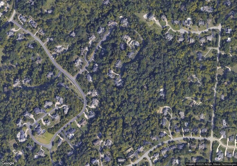
Map
Nearby Homes
- 3 Salem Rd
- 2 Salem Rd
- 4 Salem Rd
- 770 Sutton Rd
- 1484 Apple Farm Ln
- 1 Salem Rd
- 949 Yarger Dr
- 1190 Linden Hill Ln
- 1069 Doolittle Ln
- 6952 Shadow Ridge Rd
- 6201 Thole Rd
- 1508 Beth Ln
- 6023 Squirehill Ct
- 6029 Lockard Ave
- 1341 Mayland Dr
- 1059 4 Mile Rd
- 6637 Wyndwatch Dr
- 1169 Beacon St
- 6956 Shadow Ridge Rd
- 6947 Shadow Ridge Rd
- 1296 Mistymeadow Ln
- 5718 Brookstone Dr
- 1244 Mistymeadow Ln
- 5724 Brookstone Dr
- 1226 Mistymeadow Ln
- 1135 Eversole Rd
- 1262 Mistymeadow Ln
- 1294 Mistymeadow Ln
- 5730 Brookstone Dr
- 1292 Mistymeadow Ln
- 1241 Mistymeadow Ln
- 1288 Mistymeadow Ln
- 1137 Eversole Rd
- 5740 Brookstone Dr
- 5799 Brookstone Dr
- 1290 Mistymeadow Ln
- 5691 Brookstone Dr
- 20 Brookstone Dr Unit 20
- 16 Brookstone Dr Unit 16
- 1243 Mistymeadow Ln
Your Personal Tour Guide
Ask me questions while you tour the home.