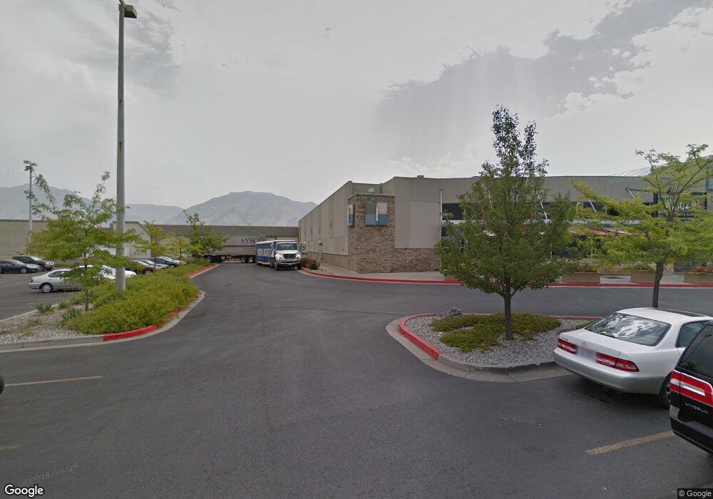
1300 N Main St Logan, UT 84341
Adams Neighborhood
--
Bed
--
Bath
309,142
Sq Ft
25.68
Acres
About This Home
This home is located at 1300 N Main St, Logan, UT 84341. 1300 N Main St is a home located in Cache County with nearby schools including Adams Elementary School, Mount Logan Middle School, and Logan High School.
Ownership History
Date
Name
Owned For
Owner Type
Purchase Details
Closed on
Mar 26, 2024
Sold by
Woodsonia Cache Valley Llc
Bought by
Old Mann Holdings Llc
Home Financials for this Owner
Home Financials are based on the most recent Mortgage that was taken out on this home.
Original Mortgage
$6,800,000
Outstanding Balance
$3,316,337
Interest Rate
6.77%
Mortgage Type
Construction
Purchase Details
Closed on
Nov 2, 2023
Sold by
Herbert Lorin and Mcintosh Nick
Bought by
Young Ron L
Create a Home Valuation Report for This Property
The Home Valuation Report is an in-depth analysis detailing your home's value as well as a comparison with similar homes in the area
Home Values in the Area
Average Home Value in this Area
Purchase History
Date | Buyer | Sale Price | Title Company |
---|---|---|---|
Old Mann Holdings Llc | -- | None Listed On Document | |
Woodsonia Cache Valley Llc | -- | None Listed On Document | |
Young Ron L | -- | None Listed On Document |
Source: Public Records
Mortgage History
Date | Status | Borrower | Loan Amount |
---|---|---|---|
Open | Woodsonia Cache Valley Llc | $6,800,000 | |
Previous Owner | Cache Valley Realty Llc | $10,000,000 |
Source: Public Records
Tax History Compared to Growth
Tax History
Year | Tax Paid | Tax Assessment Tax Assessment Total Assessment is a certain percentage of the fair market value that is determined by local assessors to be the total taxable value of land and additions on the property. | Land | Improvement |
---|---|---|---|---|
2024 | $143,365 | $17,958,778 | $17,618,278 | $340,500 |
2023 | $128,272 | $15,316,039 | $14,975,539 | $340,500 |
2022 | $130,974 | $14,602,918 | $14,262,418 | $340,500 |
2021 | $147,925 | $14,014,666 | $13,815,000 | $199,666 |
2020 | $164,364 | $14,014,666 | $8,948,966 | $5,065,700 |
2019 | $171,792 | $14,014,666 | $8,948,966 | $5,065,700 |
Source: Public Records
Map
Nearby Homes
- 235 E 1100 N
- 1283 N 400 E Unit 2
- 224 W 1330 N
- 1355 N 220 W
- 2200 N 220 W
- 1030 N 130 W Unit 100
- 377 E 1025 N
- Park Avenue 1600 Plan at Park Avenue 1600
- 1035 N 130 W Unit 100
- 230 W 1550 N Unit 102
- 220 E 870 N
- 286 E 870 N
- 1555 N 280 W Unit 102
- 364 W 1330 N
- 1366 N Talmage Ln Unit 35
- 636 E 1280 N
- 1188 N 600 E
- 1589 N 310 W
- 790 N 250 E
- 123 Penhurst Place