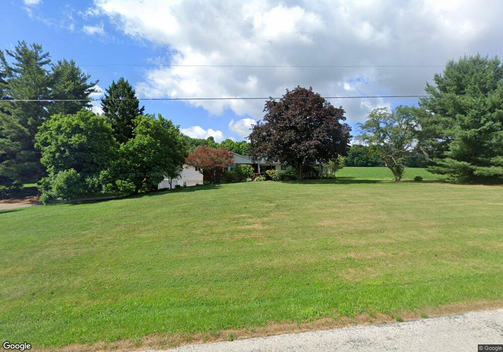
1300 Osbun Rd Mansfield, OH 44903
Estimated Value: $221,000 - $313,612
3
Beds
2
Baths
2,694
Sq Ft
$106/Sq Ft
Est. Value
About This Home
This home is located at 1300 Osbun Rd, Mansfield, OH 44903 and is currently estimated at $286,153, approximately $106 per square foot. 1300 Osbun Rd is a home located in Richland County with nearby schools including Crestview Elementary School, Crestview Middle School, and Crestview High School.
Ownership History
Date
Name
Owned For
Owner Type
Purchase Details
Closed on
Sep 18, 1995
Sold by
Seifert Sam A
Bought by
Coleman Terrance L and Coleman Diane Sue
Current Estimated Value
Home Financials for this Owner
Home Financials are based on the most recent Mortgage that was taken out on this home.
Original Mortgage
$100,000
Interest Rate
7.81%
Mortgage Type
New Conventional
Create a Home Valuation Report for This Property
The Home Valuation Report is an in-depth analysis detailing your home's value as well as a comparison with similar homes in the area
Home Values in the Area
Average Home Value in this Area
Purchase History
| Date | Buyer | Sale Price | Title Company |
|---|---|---|---|
| Coleman Terrance L | $125,000 | -- |
Source: Public Records
Mortgage History
| Date | Status | Borrower | Loan Amount |
|---|---|---|---|
| Closed | Coleman Terrance L | $100,000 |
Source: Public Records
Tax History Compared to Growth
Tax History
| Year | Tax Paid | Tax Assessment Tax Assessment Total Assessment is a certain percentage of the fair market value that is determined by local assessors to be the total taxable value of land and additions on the property. | Land | Improvement |
|---|---|---|---|---|
| 2024 | $2,366 | $66,670 | $9,980 | $56,690 |
| 2023 | $2,366 | $66,670 | $9,980 | $56,690 |
| 2022 | $2,473 | $61,540 | $10,390 | $51,150 |
| 2021 | $2,476 | $61,540 | $10,390 | $51,150 |
| 2020 | $2,481 | $61,540 | $10,390 | $51,150 |
| 2019 | $2,221 | $52,220 | $8,810 | $43,410 |
| 2018 | $2,244 | $52,220 | $8,810 | $43,410 |
| 2017 | $2,206 | $52,220 | $8,810 | $43,410 |
| 2016 | $2,142 | $52,940 | $8,130 | $44,810 |
| 2015 | $2,142 | $52,940 | $8,130 | $44,810 |
| 2014 | $2,233 | $52,940 | $8,130 | $44,810 |
| 2012 | $1,085 | $54,580 | $8,390 | $46,190 |
Source: Public Records
Map
Nearby Homes
- 1791 Beal Rd
- 1171 Hoover Rd
- 0 Hoover Rd
- 2244 Pavonia North Rd
- 1292 Wolford Rd
- 2202 Lakewood Dr
- 1245 N Stewart Rd
- 1151 Beal Rd
- 1951 Woodmont Rd
- 2331 Fleming Falls Rd
- 1997 Hout Rd
- 1007 Delwood Rd
- 903 Mayflower Ave
- 1910 Crider Rd
- 0 Wesley
- 1495 Timber Rd
- 3493 Ganges Five Points Rd
- 0 Miller Pkwy
- 741 Yale Ave
- 735 Pennsylvania Ave
- 1330 Osbun Rd
- 0 Osbun Rd
- 1350 Osbun Rd
- 1200 Osbun Rd
- 1400 Osbun Rd
- 1150 Osbun Rd
- 2471 N Stewart Rd
- 1425 Osbun Rd
- 1380 Pavonia West Rd
- 1195 Pavonia West Rd
- 1120 Osbun Rd
- 2457 N Stewart Rd
- 2385 N Stewart Rd
- 1080 Osbun Rd
- 1475 Osbun Rd
- 2375 N Stewart Rd
- 2350 N Stewart Rd
- 1575 Pavonia Rd
- 2680 Olivesburg Rd
- 2680 State Route 545