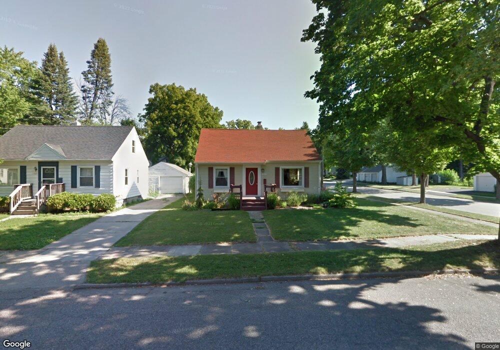
1300 Pulaski St Lansing, MI 48910
Quentin Park NeighborhoodEstimated Value: $141,536 - $170,000
--
Bed
1
Bath
972
Sq Ft
$161/Sq Ft
Est. Value
About This Home
This home is located at 1300 Pulaski St, Lansing, MI 48910 and is currently estimated at $156,384, approximately $160 per square foot. 1300 Pulaski St is a home located in Ingham County with nearby schools including Averill Elementary School, Pattengill Academy, and J.W. Sexton High School.
Ownership History
Date
Name
Owned For
Owner Type
Purchase Details
Closed on
Dec 19, 2024
Sold by
Moss Katie Jo
Bought by
Moss Katie Jo and Bodnar Brent Alan
Current Estimated Value
Purchase Details
Closed on
Jun 23, 2000
Sold by
King Clarence E and King Donata E
Bought by
Moss Katie Jo
Home Financials for this Owner
Home Financials are based on the most recent Mortgage that was taken out on this home.
Original Mortgage
$70,000
Interest Rate
8.31%
Mortgage Type
Purchase Money Mortgage
Create a Home Valuation Report for This Property
The Home Valuation Report is an in-depth analysis detailing your home's value as well as a comparison with similar homes in the area
Home Values in the Area
Average Home Value in this Area
Purchase History
| Date | Buyer | Sale Price | Title Company |
|---|---|---|---|
| Moss Katie Jo | -- | None Listed On Document | |
| Moss Katie Jo | -- | None Listed On Document | |
| Moss Katie Jo | $70,000 | First American Title Ins Co |
Source: Public Records
Mortgage History
| Date | Status | Borrower | Loan Amount |
|---|---|---|---|
| Previous Owner | Moss Katie Jo | $70,000 |
Source: Public Records
Tax History Compared to Growth
Tax History
| Year | Tax Paid | Tax Assessment Tax Assessment Total Assessment is a certain percentage of the fair market value that is determined by local assessors to be the total taxable value of land and additions on the property. | Land | Improvement |
|---|---|---|---|---|
| 2025 | $2,980 | $63,200 | $9,300 | $53,900 |
| 2024 | $24 | $57,900 | $9,300 | $48,600 |
| 2023 | $2,794 | $51,900 | $9,300 | $42,600 |
| 2022 | $2,519 | $48,200 | $10,300 | $37,900 |
| 2021 | $2,467 | $45,600 | $9,700 | $35,900 |
| 2020 | $2,452 | $42,900 | $9,700 | $33,200 |
| 2019 | $2,350 | $39,800 | $9,700 | $30,100 |
| 2018 | $2,203 | $39,200 | $9,700 | $29,500 |
| 2017 | $2,109 | $39,200 | $9,700 | $29,500 |
| 2016 | $2,016 | $37,600 | $9,700 | $27,900 |
| 2015 | $2,016 | $36,600 | $19,455 | $17,145 |
| 2014 | $2,016 | $35,700 | $22,513 | $13,187 |
Source: Public Records
Map
Nearby Homes
- 1221 Moores River Dr
- 1120 Alsdorf St
- 1309 Hammond St
- 1516 Moores River Dr
- 1010 W Barnes Ave
- 1116 George St
- 917 W Barnes Ave
- 1721 Fletcher St
- 1114 Goodrich St
- 1615 William St
- 817 Middle St
- 1912 Moores River Dr
- 1315 Goodrich St
- 1312 W Mount Hope Ave
- 1708 Beal Ave
- 1740 Wellington Rd Unit 103
- 1913 Stirling Ave
- 1901 W Malcolm x St
- 2000 William St
- 602 S Jenison Ave
- 1222 Pulaski St
- 1312 Pulaski St
- 1218 Pulaski St
- 1309 Moores River Dr
- 1303 Moores River Dr
- 1318 Pulaski St
- 1214 Pulaski St
- 1219 Moores River Dr
- 1303 Pulaski St
- 1315 Moores River Dr
- 1309 Pulaski St
- 1311 Pulaski St
- 1217 Moores River Dr
- 1217 Pulaski St
- 1208 Pulaski St
- 1323 Moores River Dr
- 1215 Pulaski St
- 1317 Pulaski St
- 1321 Park Ave
- 1315 Park Ave