1300 Rice Dr Lufkin, TX 75901
Estimated Value: $238,000 - $270,000
--
Bed
10
Baths
1,868
Sq Ft
$135/Sq Ft
Est. Value
About This Home
This home is located at 1300 Rice Dr, Lufkin, TX 75901 and is currently estimated at $252,112, approximately $134 per square foot. 1300 Rice Dr is a home located in Angelina County with nearby schools including Slack Elementary School, Burley Primary School, and Lufkin Middle School.
Ownership History
Date
Name
Owned For
Owner Type
Purchase Details
Closed on
Jan 11, 2022
Sold by
Ann Bailey Patsy
Bought by
Bailey Patsy Ann
Current Estimated Value
Purchase Details
Closed on
Jan 5, 2005
Sold by
Jumper Charlie W and Jumper Bonnie J
Bought by
Maxon Jeffery W and Maxon Francis E
Home Financials for this Owner
Home Financials are based on the most recent Mortgage that was taken out on this home.
Original Mortgage
$28,000
Interest Rate
5.74%
Mortgage Type
Future Advance Clause Open End Mortgage
Create a Home Valuation Report for This Property
The Home Valuation Report is an in-depth analysis detailing your home's value as well as a comparison with similar homes in the area
Home Values in the Area
Average Home Value in this Area
Purchase History
| Date | Buyer | Sale Price | Title Company |
|---|---|---|---|
| Bailey Patsy Ann | -- | None Listed On Document | |
| Maxon Jeffery W | -- | None Available |
Source: Public Records
Mortgage History
| Date | Status | Borrower | Loan Amount |
|---|---|---|---|
| Previous Owner | Maxon Jeffery W | $28,000 |
Source: Public Records
Tax History Compared to Growth
Tax History
| Year | Tax Paid | Tax Assessment Tax Assessment Total Assessment is a certain percentage of the fair market value that is determined by local assessors to be the total taxable value of land and additions on the property. | Land | Improvement |
|---|---|---|---|---|
| 2025 | $3,937 | $188,410 | $43,980 | $144,430 |
| 2024 | $3,932 | $188,140 | $43,980 | $144,160 |
| 2023 | $3,749 | $188,670 | $43,980 | $144,690 |
| 2022 | $4,518 | $198,340 | $20,990 | $177,350 |
| 2021 | $4,750 | $195,720 | $20,990 | $174,730 |
| 2020 | $4,308 | $175,310 | $20,990 | $154,320 |
| 2019 | $4,610 | $177,350 | $20,990 | $156,360 |
| 2018 | $2,828 | $174,900 | $20,990 | $153,910 |
| 2017 | $2,828 | $170,980 | $20,990 | $149,990 |
| 2016 | $4,020 | $168,630 | $20,990 | $147,640 |
| 2015 | $2,653 | $168,800 | $20,990 | $147,810 |
| 2014 | $2,653 | $161,620 | $20,990 | $140,630 |
Source: Public Records
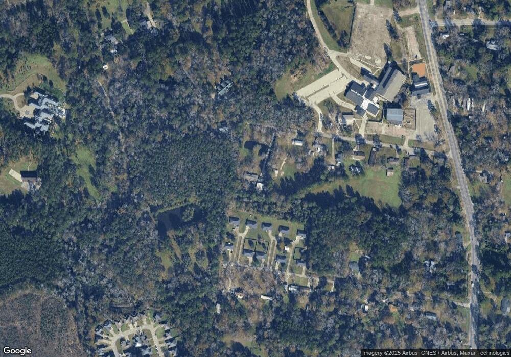
Map
Nearby Homes
- 2707 S Chestnut St
- 3106 S Chestnut St
- 115 Willow Brook Dr
- 3306 S Chestnut St
- 5552 S Chestnut St
- 1302 Parkman St
- 102 Harmony Hill Ct
- 406 Forest Creek Dr
- 508 Forest Creek Dr
- 5100 Farm To Market 58
- 119 Park Place
- 301 Sandybrook Dr
- 319 Sandybrook Dr
- 307 Sandybrook Dr
- 313 Sandybrook Dr
- 701 Sandybrook Dr
- Lot 3 Tulane Dr
- Lot 2 Tulane Dr
- Lot 1 Tulane Dr