--
Bed
1
Bath
99,169
Sq Ft
9.29
Acres
About This Home
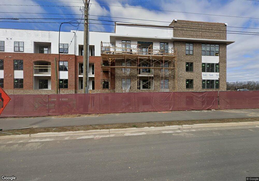
This home is located at 1300 S Salem St, Apex, NC 27502. 1300 S Salem St is a home located in Wake County with nearby schools including Scotts Ridge Elementary School, Apex Middle, and Apex High School.
Ownership History
Date
Name
Owned For
Owner Type
Purchase Details
Closed on
Jan 8, 2010
Sold by
Thales Academy
Bought by
North Salem Holdings Llc
Purchase Details
Closed on
Nov 25, 2009
Sold by
Thales Academy
Bought by
Csx Transportation
Purchase Details
Closed on
Sep 1, 2009
Sold by
Apex First Development Llc
Bought by
Csx Transportation
Purchase Details
Closed on
Aug 26, 2009
Sold by
Curry Rev Michael B and Corlett Rev Diane B
Bought by
Thales Academy
Purchase Details
Closed on
Nov 7, 2003
Sold by
The Trustees Of The Protestant Episcopal
Bought by
The Prince Peace Episcopal Church Apex
Create a Home Valuation Report for This Property
The Home Valuation Report is an in-depth analysis detailing your home's value as well as a comparison with similar homes in the area
Home Values in the Area
Average Home Value in this Area
Purchase History
| Date | Buyer | Sale Price | Title Company |
|---|---|---|---|
| North Salem Holdings Llc | $1,450,000 | None Available | |
| Csx Transportation | -- | None Available | |
| Csx Transportation | -- | None Available | |
| Thales Academy | $2,000,000 | None Available | |
| The Prince Peace Episcopal Church Apex | -- | -- |
Source: Public Records
Tax History Compared to Growth
Tax History
| Year | Tax Paid | Tax Assessment Tax Assessment Total Assessment is a certain percentage of the fair market value that is determined by local assessors to be the total taxable value of land and additions on the property. | Land | Improvement |
|---|---|---|---|---|
| 2025 | -- | $27,322,802 | $6,597,502 | $20,725,300 |
| 2024 | -- | $14,051,228 | $4,608,747 | $9,442,481 |
| 2023 | $0 | $13,311,006 | $800,300 | $12,510,706 |
| 2022 | $0 | $13,311,006 | $800,300 | $12,510,706 |
| 2021 | $0 | $13,311,006 | $800,300 | $12,510,706 |
| 2020 | $0 | $13,311,006 | $800,300 | $12,510,706 |
| 2019 | $0 | $11,180,591 | $800,300 | $10,380,291 |
| 2018 | $0 | $11,180,591 | $800,300 | $10,380,291 |
| 2017 | $0 | $11,180,591 | $800,300 | $10,380,291 |
| 2016 | -- | $11,180,591 | $800,300 | $10,380,291 |
| 2015 | $50,497 | $5,027,081 | $902,400 | $4,124,681 |
Source: Public Records
Map
Nearby Homes
- 1706 Burgundy Park Dr
- 1936 Rabbit Hop Trail
- 1811 Aspen River Ln
- 1844 Woodall Crest Dr
- 1787 Flint Valley Ln
- 1809 Flint Valley Ln
- 1880 Woodall Crest Dr
- 1800 Porch Swing Way
- 1726 Barrett Run Trail
- 1105 Haughton Green Ct
- 1103 Churchwood Dr
- 503 Homegate Cir
- 1773 Town Home Dr
- 1748 Town Home Dr
- 460 Heritage Village Ln
- 448 Heritage Village Ln
- 1206 Whiston Dr
- 428 Heritage Village Ln
- 1104 Barrow Nook Ct
- 1004 Marston Ct
- 1011 S Salem St
- 1013 S Salem St
- 1844 Poe Farm Ave Unit 1847
- 1844 Poe Farm Ave Unit 1945
- 1844 Poe Farm Ave Unit 1946
- 1844 Poe Farm Ave Unit 1748
- 1844 Poe Farm Ave Unit 2189
- 1844 Poe Farm Ave Unit 1781
- 1844 Poe Farm Ave Unit 2190
- 1757 Barrett Run Trail
- 1753 Barrett Run Trail
- 1890 Sweet Gardenia Way
- 1760 Night Sky Trail
- 1751 Barrett Run Trail
- 1850 Poe Farm Ave
- 1765 Barrett Run Trail
- 1896 Sweet Gardenia Way
- 1886 Sweet Gardenia Way
- 1846 Poe Farm Ave
- 1884 Sweet Gardenia Way