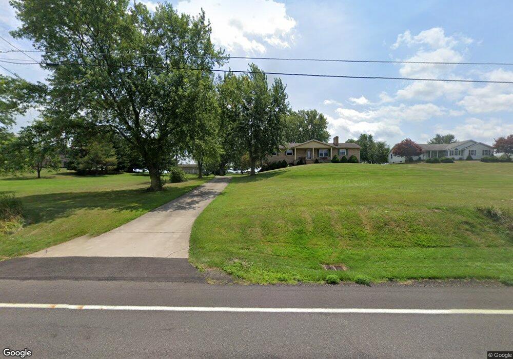
1300 State St NE Canton, OH 44721
Estimated Value: $282,000 - $330,000
3
Beds
2
Baths
1,664
Sq Ft
$181/Sq Ft
Est. Value
About This Home
This home is located at 1300 State St NE, Canton, OH 44721 and is currently estimated at $300,545, approximately $180 per square foot. 1300 State St NE is a home located in Stark County with nearby schools including Lake Middle/High School and Lake Center Christian School.
Ownership History
Date
Name
Owned For
Owner Type
Purchase Details
Closed on
Jun 4, 1997
Sold by
Borton Paula M
Bought by
Porter Jeffery L and Porter Marcia K
Current Estimated Value
Home Financials for this Owner
Home Financials are based on the most recent Mortgage that was taken out on this home.
Original Mortgage
$101,600
Outstanding Balance
$14,777
Interest Rate
8.17%
Mortgage Type
New Conventional
Estimated Equity
$285,768
Create a Home Valuation Report for This Property
The Home Valuation Report is an in-depth analysis detailing your home's value as well as a comparison with similar homes in the area
Home Values in the Area
Average Home Value in this Area
Purchase History
| Date | Buyer | Sale Price | Title Company |
|---|---|---|---|
| Porter Jeffery L | $127,000 | -- |
Source: Public Records
Mortgage History
| Date | Status | Borrower | Loan Amount |
|---|---|---|---|
| Open | Porter Jeffery L | $101,600 |
Source: Public Records
Tax History Compared to Growth
Tax History
| Year | Tax Paid | Tax Assessment Tax Assessment Total Assessment is a certain percentage of the fair market value that is determined by local assessors to be the total taxable value of land and additions on the property. | Land | Improvement |
|---|---|---|---|---|
| 2025 | -- | $83,900 | $23,910 | $59,990 |
| 2024 | -- | $83,900 | $23,910 | $59,990 |
| 2023 | $2,808 | $69,230 | $14,350 | $54,880 |
| 2022 | $2,837 | $69,230 | $14,350 | $54,880 |
| 2021 | $2,869 | $69,230 | $14,350 | $54,880 |
| 2020 | $2,742 | $60,560 | $12,360 | $48,200 |
| 2019 | $2,717 | $60,560 | $12,360 | $48,200 |
| 2018 | $2,718 | $60,560 | $12,360 | $48,200 |
| 2017 | $2,492 | $52,860 | $12,570 | $40,290 |
| 2016 | $2,477 | $52,510 | $12,570 | $39,940 |
| 2015 | $2,476 | $52,510 | $12,570 | $39,940 |
| 2014 | $261 | $50,310 | $12,050 | $38,260 |
| 2013 | $1,130 | $50,310 | $12,050 | $38,260 |
Source: Public Records
Map
Nearby Homes
- 8994 Kent Ave NE
- 9393 Kent Ave NE
- 9766 Smithdale Ave NE
- 9790 Smithdale Ave NE
- 2231 Lovers Ln NE
- 8275 Rolling Hill Ave NW
- 8271 Pheasant Ave NW
- 2315 Old Elm St NE
- 10277 Market Ave N
- 7272 Ashburton Cir NW
- 8314 Sapphire Ave NE
- 8510 Deacon Ave NW
- Tupelo Plan at Sparwood Farms
- Cedar Plan at Sparwood Farms
- Elder Plan at Sparwood Farms
- Aspen Plan at Sparwood Farms
- 1975 Eloise Cir NE
- 10387 Middlebranch Ave NE
- 2793 Rita St NE
- 2623 Notre Dame St NE
- 1274 State St NE
- 1246 State St NE
- 1330 State St NE
- 1224 State St NE
- 1319 State St NE
- 1196 State St NE
- 1164 State St NE
- 1195 State St NE
- 1435 State St NE
- 1435 State St NE
- 1460 State St NE
- 1451 State St NE
- 1313 State St NE
- 1169 State St NE
- 1133 State St NE
- 1078 State St NE
- 8763 Kent Ave NE
- 9153 Grubb Ct NE
- 1508 State St NE
- 8852 Market Ave N